The Modern Antiquarian
Log in
|
Register
Home
Latest Posts
Forums
Maps
Help
Browse Sites
News
Blog
Contributors
The Books
Select
-
Belgium
Denmark
Eire
France
Germany
Greece
Italy
The Netherlands
Norway
Portugal
Republic of Malta
Spain
Sweden
Switzerland
United Kingdom
England
Northern England
Northumberland
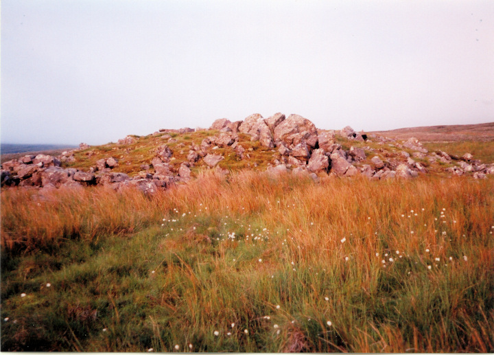
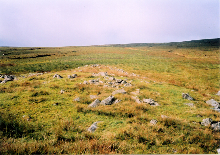
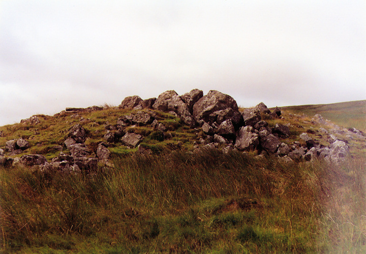
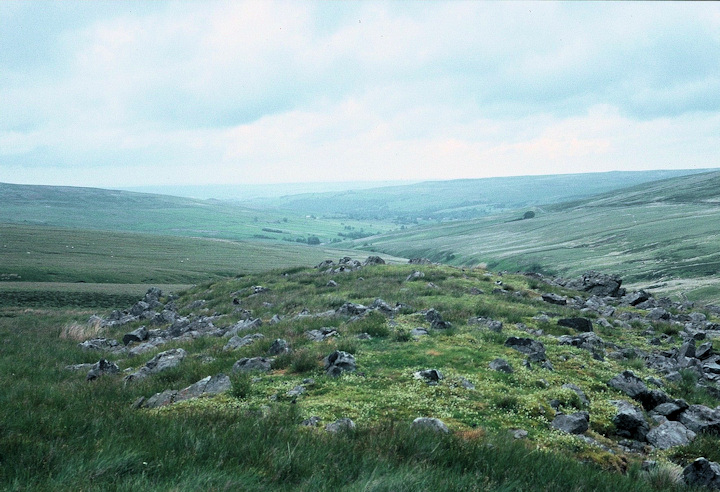
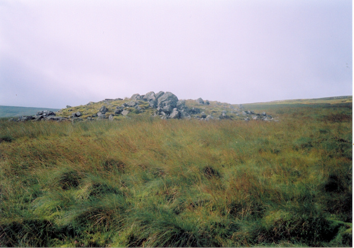
Broad Mea Long Cairn
Long Cairn
Broad Mea Long Cairn (Long Cairn) on The Modern Antiquarian, the UK & Ireland's most popular megalithic community website. 5 images, plus information on many more ancient sites nearby and across the UK & Ireland.
Image © www.davidaspinall.co.uk
Nearest Town:
Penrith (21km SSW)
OS Ref (GB):
NY639482 /
Sheet: 86
Latitude:
54° 49' 37.66" N
Longitude:
2° 33' 43.14" W
Added by
Stoneshifter
Images (5)
0 discussions
Start a topic
Show |
Hide
Web searches for Broad Mea Long Cairn
Flickr
Google
Google Images
MAGIC
The Megalithic Portal
Bing
Stone Pages
Streetmap.co.uk
Wikipedia
Show map
(inline Google Map)
- Sites within 20 km -
-
Green Hill (1.22km NE) (3 posts)
Bold Venture (3.49km NE) (2 posts)
Hut (3.83km N) (2 posts)
Slaggyford Stones (3.91km NE) (2 posts)
Colouring Crags Long Cairn (4.3km NNW) (3 posts)
Slaggyford Stone Rows (5.23km ENE) (2 posts)
Low Thornhope (5.29km NE) (12 posts)
Kirkhaugh (6.85km ENE) (6 posts)
Alston Earthworks (7.62km E) (1 post)
Cold Fell (8.13km NW) (6 posts)
Maiden Way Standing Stone (8.66km NNE) (1 post)
Broomrigg (9.19km WSW) (33 posts)
Grey Yauds (9.38km W) (11 posts)
Old Parks (10.77km SW) (3 posts)
Tortie (10.8km NW) (14 posts)
Tortie 2 (10.85km NW) (16 posts)
Glassonby (11.12km SW) (32 posts)
Stanniston Hill (12.39km N) (6 posts)
Little Meg (12.39km SSW) (65 posts)
Long Meg & Her Daughters (12.77km SW) (254 posts)
Long Meg enclosure (12.88km SW) (1 post)
Pond Enclosure and Brustop Wood (13km SW) (2 posts)
Hartleyburn Common (13.18km NNW) (5 posts)
Broomhouse (16.68km NNE) (3 posts)
Stag Stones Farm (19.45km SW) (2 posts)
Winderwath (19.45km S) (8 posts)
Honeypot Stone (19.84km SSW) (5 posts)
Popping Stone (19.88km NNW) (18 posts)
Holme Head (19.89km SW) (15 posts)
- Facilities within 20 km -
-
The Village Bakery (Cafe: 11.1 km S)
- Add -
-
Add news
Add an image
Add fieldnotes
Add folklore
Add miscellaneous
Add a link
-
Add a site
Add a nearby facility
Add an alternative name/spelling
Images
(click to view fullsize)
Add an image
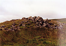 Image © www.davidaspinall.co.uk