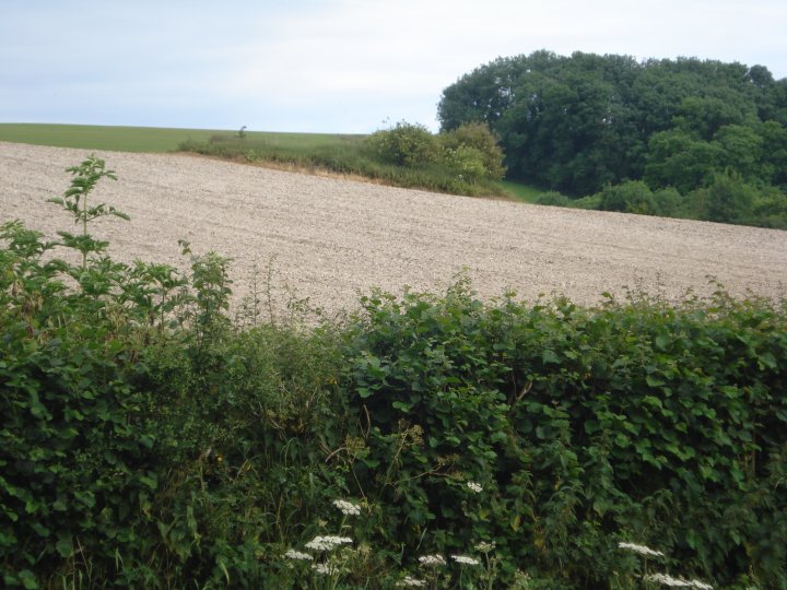
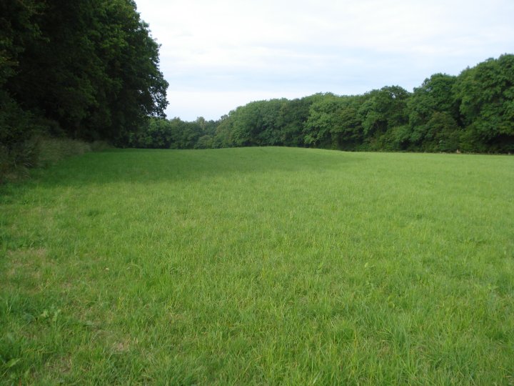
Visited this site after an afternoon looking around Membury fort. Parked just off the road by the old drovers track, (marked by a well on the OS map), and walked along the hedge trying to find easy way in to the field. Met a local who lived at the White house and when asked, he had never heard of the long barrow and was shocked when I showed it on the O.S. map. Decided to act like a badger and went under the hedge like the other animals. Walked through pasture and along the edge of Ballard's Copse to the spot marked on map, just below the crest of the hill.
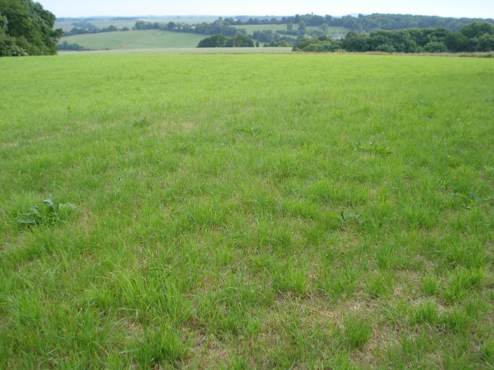
The barrow has been severely reduced and the official record of its 1.2m height, 27m length and 23m width must have been from the initial measurements done by Grinsell in the 1950's, when the long barrow was first scheduled. The stated orientation of ENE-WSW was also hard to work out, as was the remains of the flanking ditches. I took a score of pictures but the light was against me and a small bump in the grass is all that can be made out. There was a large depression, 30 meters directly opposite the barrow, and it looked like some form of excavation had taken place around the site, although no records exist of the long barrow being opened or examined by known archaeologists. 1km directly east, lies a round barrow and to the north east is Membury fort, all point to an area of continued habitation and cultivation from the Mesolithic period right up to the roman occupation.
The area had a very mellow vibe to it and the view from the valley below to the long barrow on the crest of the hill would have "claimed territory" written all over it in the Neolithic. Not an impressive site itself, poor access but still a link between the modern world and the ancestors.

 Posted by Chance