|
|

|
|
Membury CampHillfort
|
||||||||||||||||||||||||
|
|
|
Images (click to view fullsize) |
|
Photographs: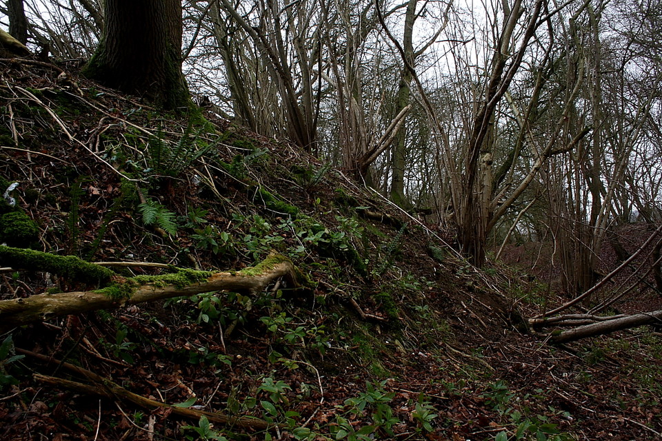


 Artistic / Interpretive:
|
Fieldnotes |
|
|
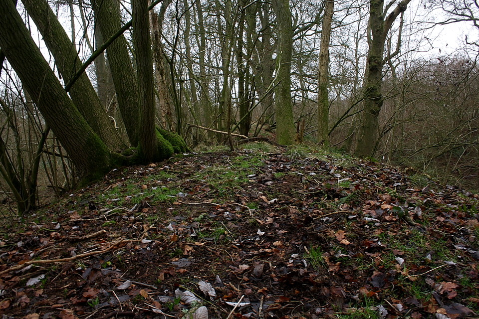
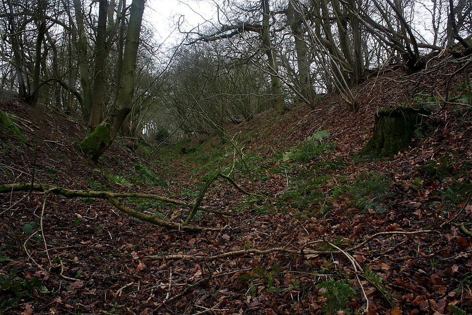
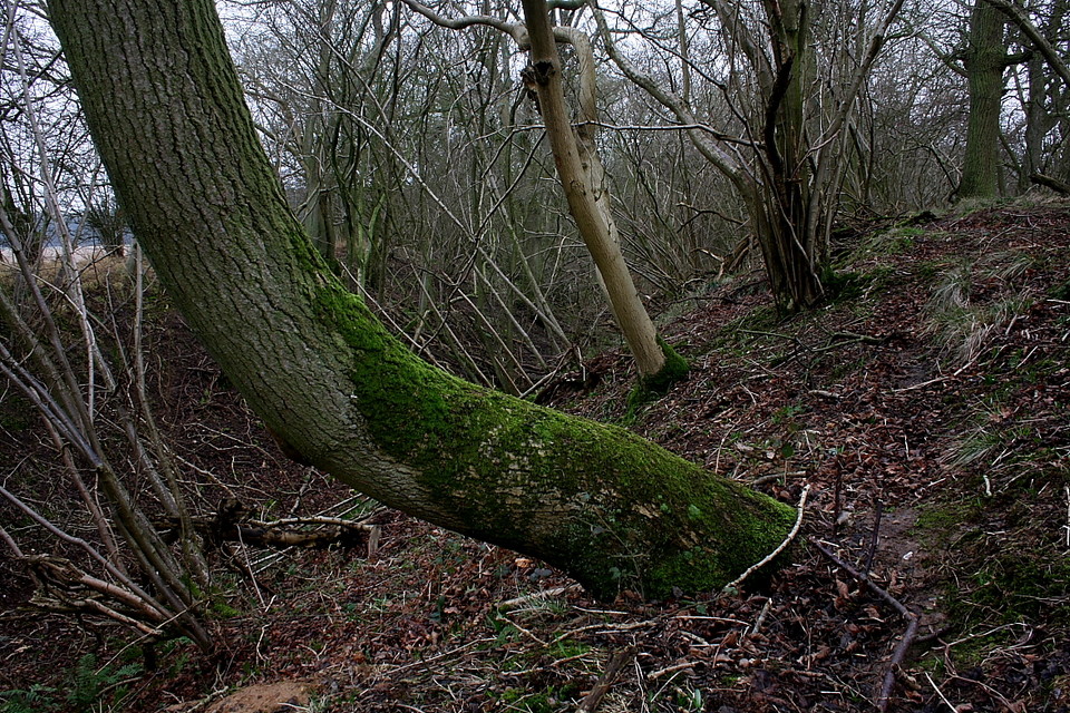
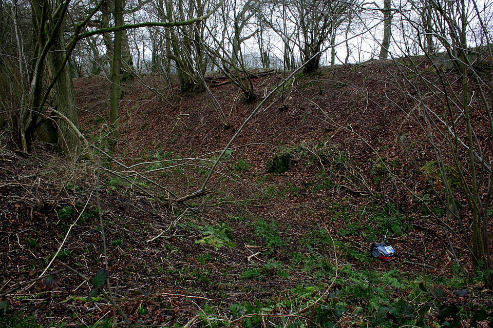
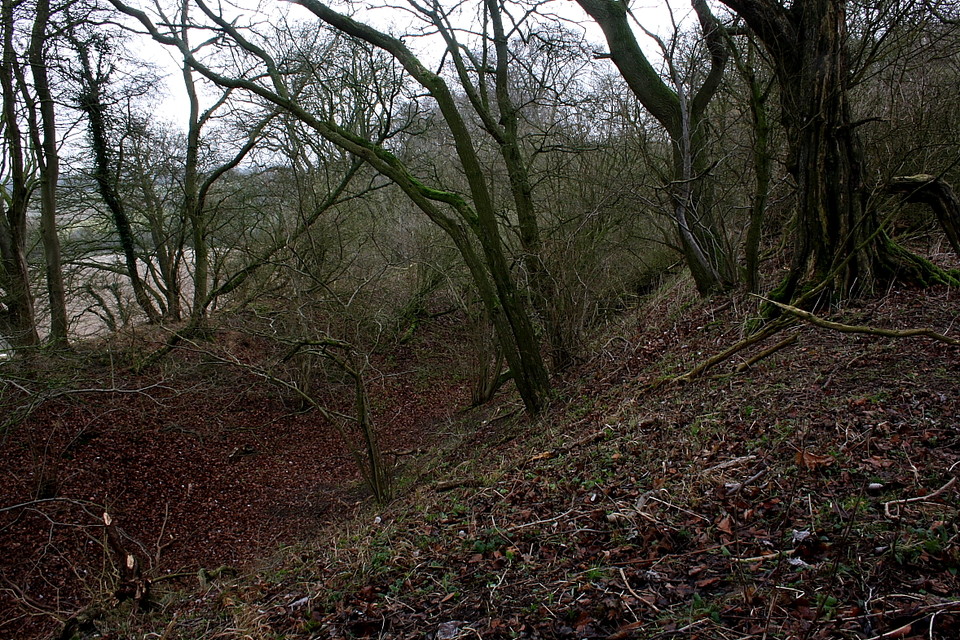
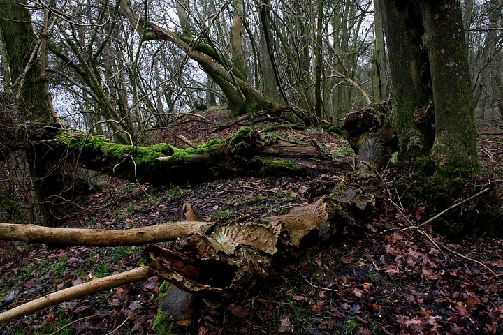
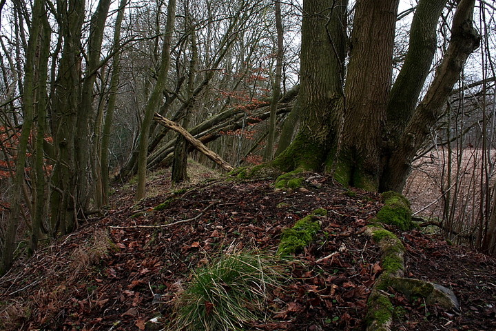
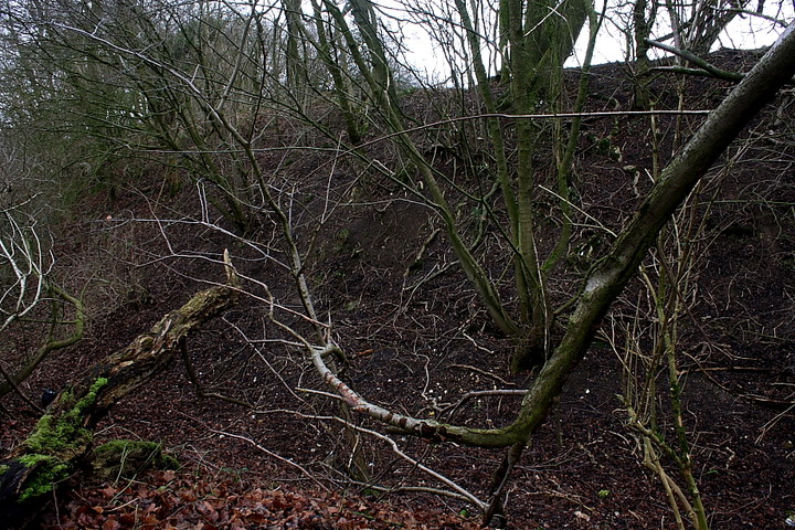
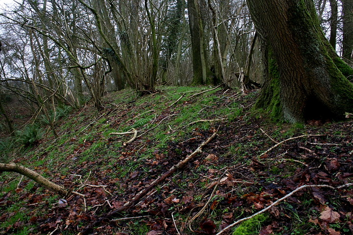
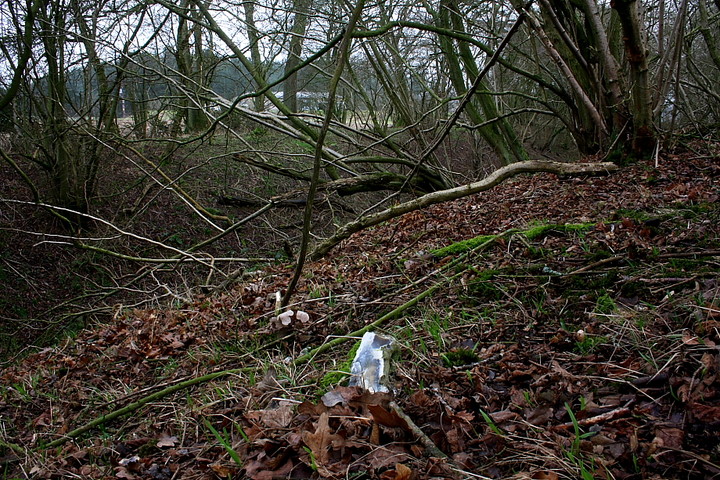
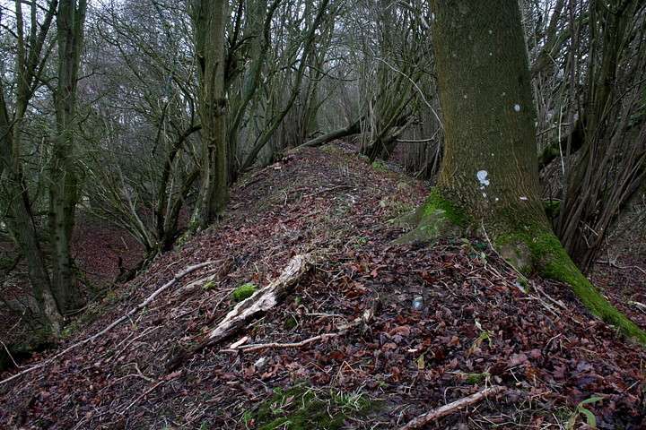
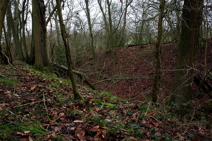
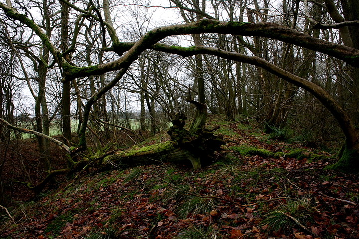
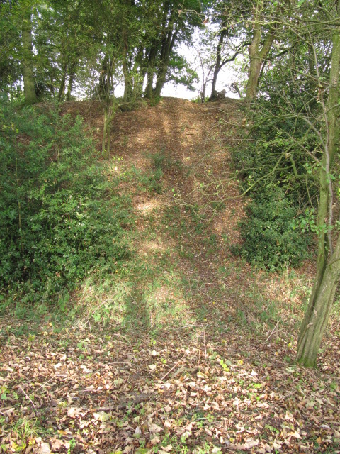
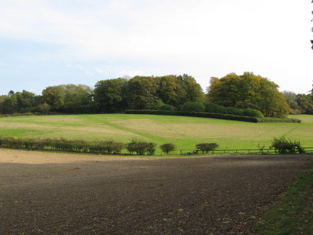
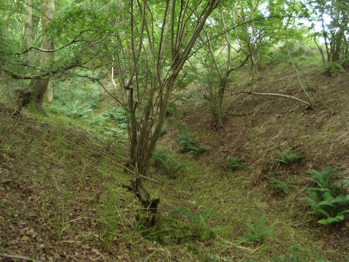
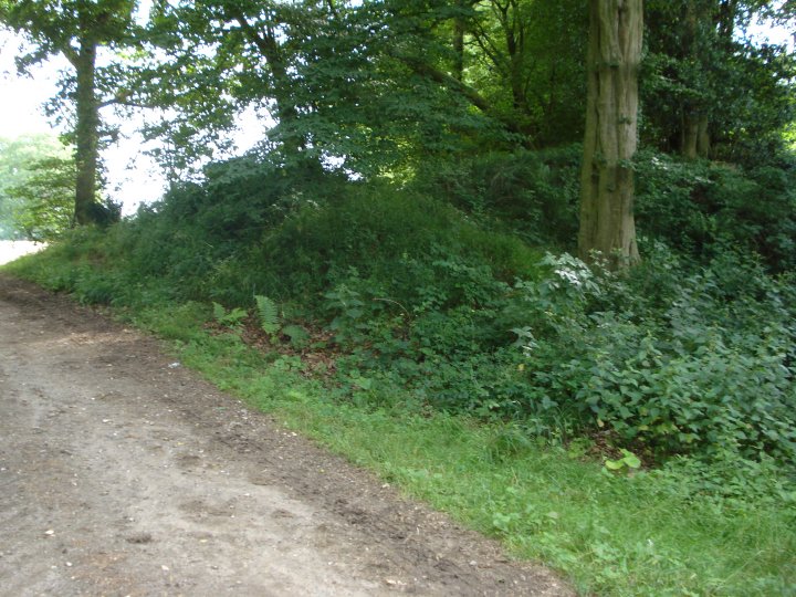
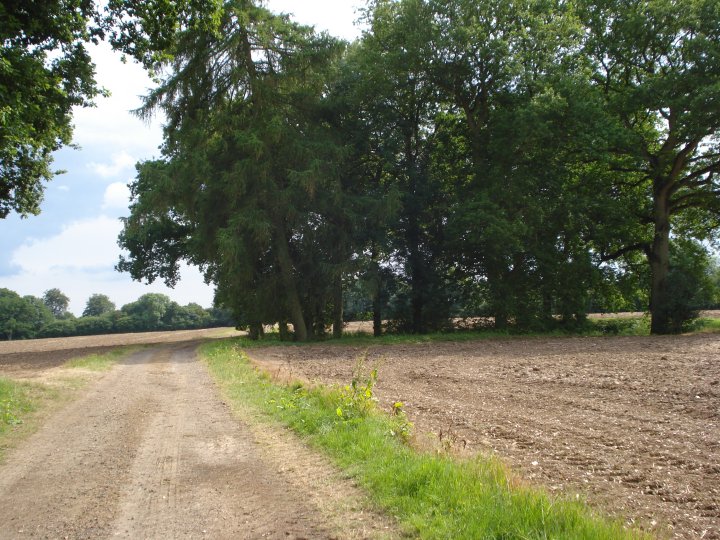
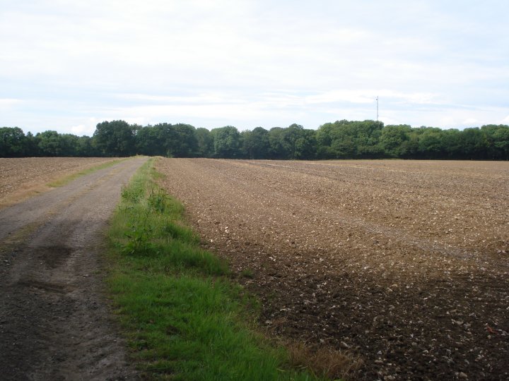
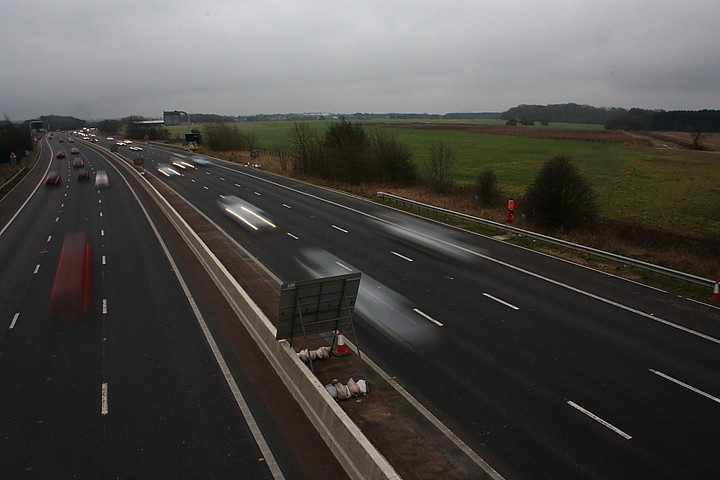
Membury Camp is one of those sites I've 'seen' many - goodness knows how many - times from the M4 services of the same name.... but never got around to visiting. Well, you know how it is? Probably not much there, better places on the 'list' etc.... However I decide to remedy that today, inspired, I guess, by tjj's images back in October. Which is what TMA is all about, is it not? I approach from the north, so, leaving the M4 at Junction 14, I take the A338 toward Wantage, almost immediately turning left upon the B4000. At Lambourn Woodlands, where the b-road veers sharply right, continue upon a minor road past Fox Farm, parking at the entrance to a farm track on the left. Follow this, past a house, to pick up a public footpath crossing the M4 via - you'll no doubt be pleased to note - a bridge. The stony track continues, passing a prominent wood and with the nissen huts of the former RAF airfield to the left, towards another phalanx of trees concealing the hillfort. The track becomes path and, eventually, affords access to the enclosure. Jeez, it's a big one, Dyer quoting a very impressive 12 hectares, although I'm arguably more impressed by the sheer size of the defensive bank encountered by the traveller. Initially I take the enclosure to be bi-vallate - that is protected by two concentric banks; however Dyer cites the outer as being a counterscarp to the massive ditch. Whatever.... splitting hairs, perhaps. As with all hillforts, the only real way to appreciate the form and substance of the defences is to walk them.... suffice to say, despite the vegetation being, relatively speaking, not that prohibitive - at least in winter - a circuit takes me over an hour, such is the circumference of this massive earthwork. In fact it is only the distant hum of the M4 which provides an indication of where exactly I am. Are we there yet? No. Are we there yet? Shut-up. Not that this is exactly a hardship, not with Nature having taken over the ramparts to do her thang, occasional pieces of flint lying provocatively upon the bank, as if to say 'for all you know I'm an ancient tool'. But therein lies the problem... I'm no expert. Sigh. Following lunch, I'm just about to complete my second, and final circuit when the hitherto hidden, entirely unwelcome side of a visit to Membury raises its head. To be fair, I guess she was only doing her job, but I'm suddenly confronted by a 'plummy' middle-aged woman with dogs (I'd seen her about half an hour earlier and thought nothing of it - guess it took some time to summon the bravery to confront me, then... honestly). In short, it appears that I've strayed from the path (I know), that this is very bad (she has no answers to my demands to know why this should be and why the estate wish to forbid me access to my heritage) and that if 'security' catch me I'll be sorry. Oh dear, threats. I assure her I most certainly will not be - sorry that is - that I had no idea walking the ramparts was an issue (there are currently no signs or fences when approaching from the north) and as I've been on site for some three hours, 'security' aren't exactly a formidable unit, are they? I complete my exploration of the defences and have a wander inside the massive enclosure before leaving this exceptional hillfort. So, there you are. Sadly it seems that here we have another 'high end' landowner who has a problem having a (very) fine example of England's heritage upon his/her land. How damn inconvenient, what? Now there are many ordinary - dare I say 'common' - landowners/ farmers throughout this land who, from experience, I know do not see this as an issue and consequently apply a morally decent attitude to access. Work with the people who want to see your stuff and attitudes invariably improve on both sides, do they not? Yeah, I know. It's plain common sense. Unfortunately such intelligent reasoning, although prevalent somewhere as off the beaten track as the environs of Loch Fyne, for example, does not appear to have caught on yet at Membury. Guess it takes time to filter down.... |
 Posted by GLADMAN
4th February 2012ce Edited 4th February 2012ce |
|
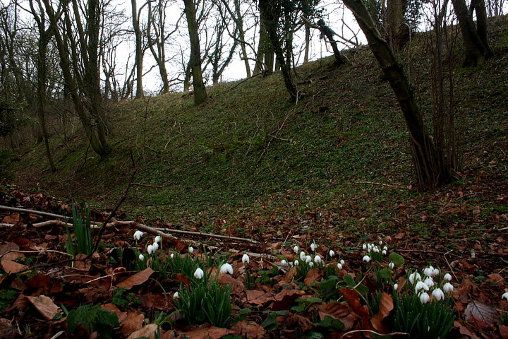
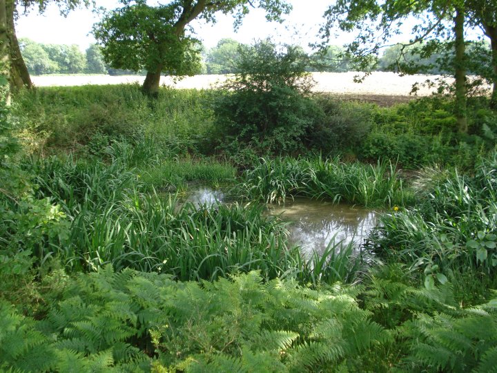
Not much I can add to Chance's excellent fieldnote on this obscure but large hillfort. Visited it today as part of a six mile walk from hamlet of Wittonditch. The countryside leading up to Membury is very clearly private farmland though there is a Right of Way through it. We walked through some woodland where some forestry work had been taking place and came out into a field containing a small herd of deer, two of which were white - quite rare I believe. We followed a quiet lane to Membury Farm which, with its gate lodge and rather impressive wrought iron gates, was a bit daunting - glad I wasn't walking alone. However, the Right of Way was clearly marked with signs saying 'stay on the footpath' so we kept going up to the hill fort. The ramparts of the hillfort are completely covered with mature trees (a lot of oaks) on all sides. The middle of the hill fort was a ploughed field with a broad path going through its centre. One of the things I love about walking to hillforts is the views of the surrounding landscape - no views to be had from this hillfort because of the dense trees on the ramparts. The wind did pick up briskly while we stopped for a bit so from the elemental viewpoint it did feel like a hillfort. The pond, encircled by oaks, mentioned by Chance on the north side of the enclosure seemed completely dried out. |
 Posted by tjj
23rd October 2011ce Edited 25th October 2011ce |
|
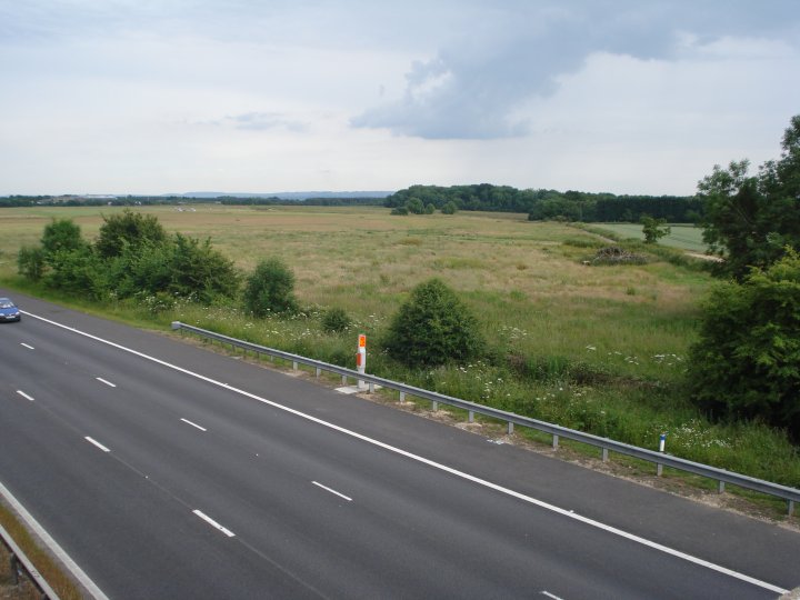
Membury Fort lies on flat ground, six miles north of Hungerford. To the east are the remains of R.A.F. Membury which was decommissioned in 1946. (see link below). The M4 motorway was constructed over the old runway and a motorway service area now lies on the old control tower. Although Membury Fort is classified on the SMR, (No. SU37NW200), as an Iron-Age Hillfort, Mesolithic, Neolithic and Romano-British finds from the site indicate a long, continual history of occupation and agricultural use. The Roman road, Ermin Street, runs to the north and shadows the modern M4. This may indicate that the fort was still in use as an agricultural grain drying/storage site right through the Roman period. Access is either from the north via the old Ermin Street, the Baydon road, or from the south via the lane that runs by Membury Lodge. The fort is part of the Membury Estate, which is now being converted into a stud farm. We parked by the Membury Lodge and walked through the main gate, following the public footpath around Membury house and through the well manicured parkland, stables and out buildings. "Keep to the Footpath" and "Guard Dogs on the Loose" signs might put some people off, but all we saw was a Jack Russell. There were people enjoying the summer sun but they were the other side of the extensive walls. The footpath is well marked and leads to the southern side of the fort. A farm track runs right across the fort and up to the north-east wooded sector known as Walls Copse. This wood is in Berkshire, while the rest of the fort is in Wiltshire. To the left of this border is a sunken pond which may well be the reason the fort was built here in the first place. The pond had a "Majestic" vibe to it with ancient sessile oaks and service trees around its edge. There was another, smaller pond on the northern side and outside the fort. This was very overgrown but also seemed original. We spent about two hours walking around and saw only 2 other walkers in the distance. The site had an undisturbed feel with much wildlife. The noise of the M4 didn't creep in until we reached the bridge over it. The banks were over grown but still very defined. I couldn't tell where the original entrances where, but the southern one may well have been original. A nice site to wonder around on a summer's day. Very relaxed with loads of atmosphere and the possibility of picking up Neolithic flints on the surface when there are no standing crops. Chance - June 2009 |
 Posted by Chance
1st July 2009ce |
Links |
|
Digital DiggingDigital Digging mapping for Membury Camp. |
 Posted by stoer
1st March 2010ce |
History of R.A.F. MemburyWikipedia entry on R.A.F. Membury and the area surrounding the fort during WWII |
Posted by Chance 1st July 2009ce |