|
|

|
|
Twizzle Stone Long BarrowLong Barrow
|
||||||||||||||||||||||||
|
|
|
Images (click to view fullsize) |
|

|
Fieldnotes |
|
|
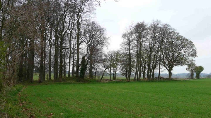
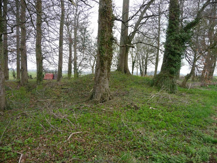
Visited 6.10.13 Directions: From the village of Bisley take a minor road south east. The Twizzle site is on the left, in a copse of trees, next to a public footpath. A farmer was busy ploughing his field adjacent to the trees which may explain why there was no farm machinery present on my visit. There were however several large piles of logs being stored amongst the trees. As TSC states, there is little to see here other than ‘lumps and bumps’. Not really worth the effort of a visit although access is very easy. |
Posted by CARL 8th October 2013ce |
|
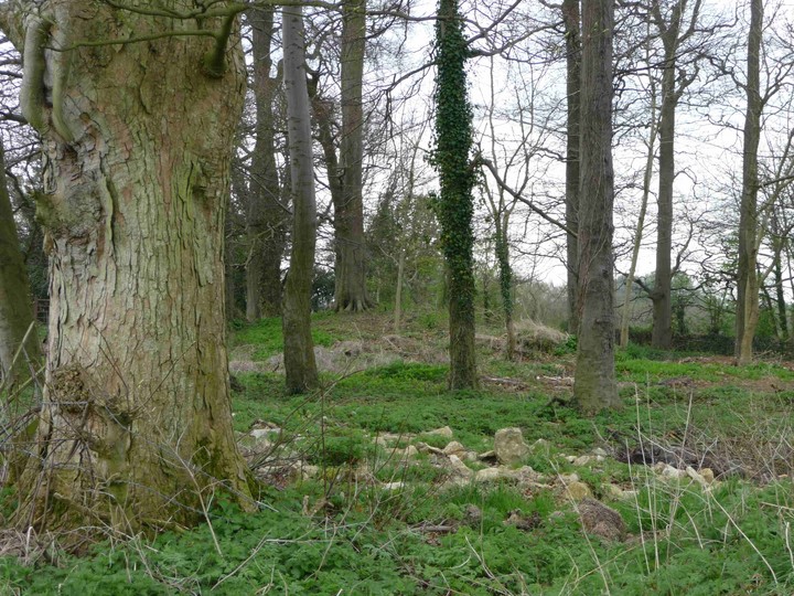
No sign of any stones, Twizzley or otherwise. Visited 12.4.09 after a trip to The Giant's Stone. Approached from the north along a footpath, the first sign of the barrow is a knot of trees in the corner of the field. The barrow itself, as described by Lesley Grinsell, is a collection of humps and hollows, currently used to store assorted farming equipment and chopped wood. Still, at least it's here at all - Tim Darvill refers to its "total destruction". As far as I could tell, the barrow is aligned roughly north-south and as ever with Cotswold long barrows it sits off the top of the hill. A nearby limestone scatter could be from the barrow but could just as easily be part of the drystone field boundary. From here I took the footpath off Limekiln Lane towards Avenis long barrow. |
 Posted by thesweetcheat
15th April 2009ce Edited 14th October 2018ce |
Miscellaneous |
|
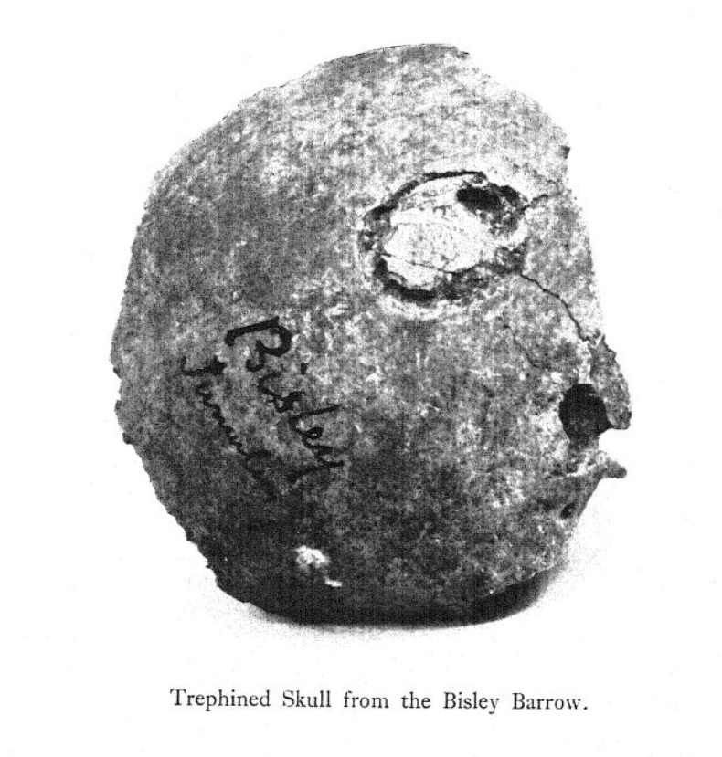
| Not really tea-time viewing, but I've posted a photo of an apparently 'trephinated' skull found in a long barrow at Bisley (perhaps this very barrow... it's a bit confusing). It was found by Dr. W. H. Paine from Stroud, in 1863. We read: "this is only a partial trephination, the operation having been abandoned either on account of the death of the patient or an unwillingness on the part of the priest-doctor to proceed with it." How about the unwillingness of the patient?! This 1923 paper by Thomas Parry even has some photos showing his (patientless) experiments into how it might have been done. A fascinating and ghastly subject to ponder on. |
 Posted by Rhiannon
1st July 2020ce |
|
A whole mass of contradictory information here. There is a supposed standing stone called The Twizzle Stone, which as Rhiannon says is given the map ref SO910053 in "Old Stones of the Cotswolds and Forest of Dean" - D.P. Sullivan (1999 Reardon). Sullivan speculates about the name, suggesting it could have been a boundary stone or could even have come from the local family name Twissel or Twyssell. There is also a long barrow at SO914051, marked on the OS 1:25000 map. In "Long Barrows of the Cotswolds" (2004 Tempus) the usually reliable Tim Darvill states that there was a "small scale antiquarian excavation in 1863 prior to its total destruction". On the other hand, Lesley Grisell visited in 1959, recording that the site "consists of large hummocks and hollows, really now unrecognisable as a barrow". None of the accounts of the barrow refer to the Twizzle Stone itself though, so whether it was actually anything to do with the barrow or not I can't work out. Great name though. |
Posted by thesweetcheat 15th April 2009ce |