The Modern Antiquarian. Stone Circles, Ancient Sites, Neolithic Monuments, Ancient Monuments, Prehistoric Sites, Megalithic MysteriesThe Modern Antiquarian


Sperris Croft

Ancient Village / Settlement / Misc. Earthwork

<b>Sperris Croft</b>Posted by thesweetcheatImage © A. Brookes (26.6.09)
Nearest Town:St Ives (Cornwall) (5km ENE)
OS Ref (GB):   SW473384 / Sheet: 203
Latitude:50° 11' 27.45" N
Longitude:   5° 32' 26.94" W

Added by thesweetcheat


Discussion Topics0 discussions
Start a topic


Show map   (inline Google Map)

Images (click to view fullsize)

Add an image Add an image
<b>Sperris Croft</b>Posted by thesweetcheat <b>Sperris Croft</b>Posted by thesweetcheat <b>Sperris Croft</b>Posted by thesweetcheat <b>Sperris Croft</b>Posted by thesweetcheat <b>Sperris Croft</b>Posted by thesweetcheat <b>Sperris Croft</b>Posted by thesweetcheat <b>Sperris Croft</b>Posted by thesweetcheat <b>Sperris Croft</b>Posted by thesweetcheat <b>Sperris Croft</b>Posted by thesweetcheat <b>Sperris Croft</b>Posted by thesweetcheat <b>Sperris Croft</b>Posted by thesweetcheat <b>Sperris Croft</b>Posted by thesweetcheat

Fieldnotes

Add fieldnotes Add fieldnotes
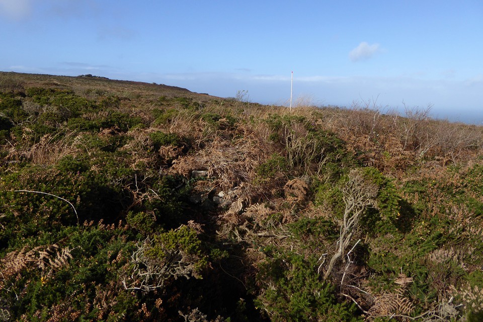
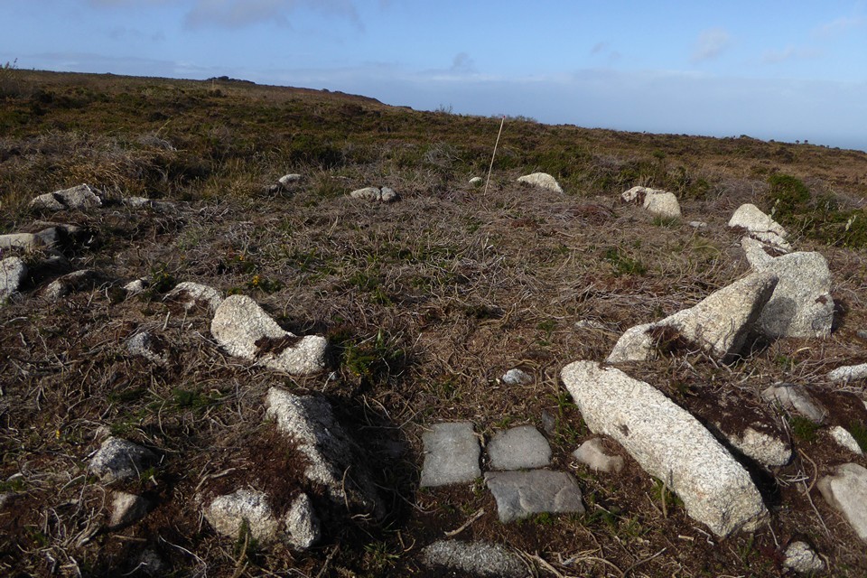
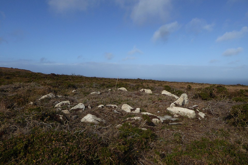
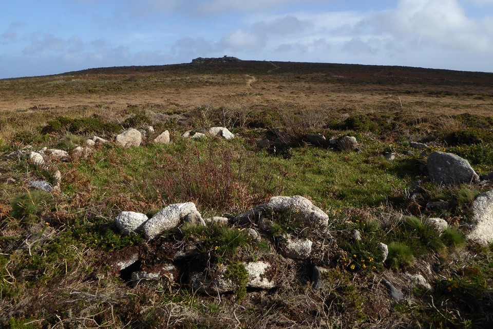
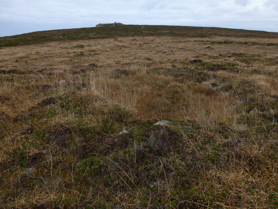
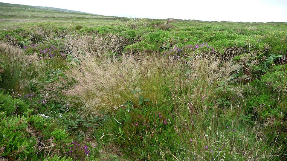
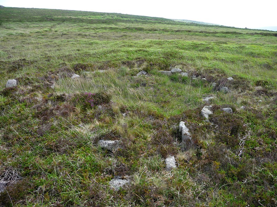
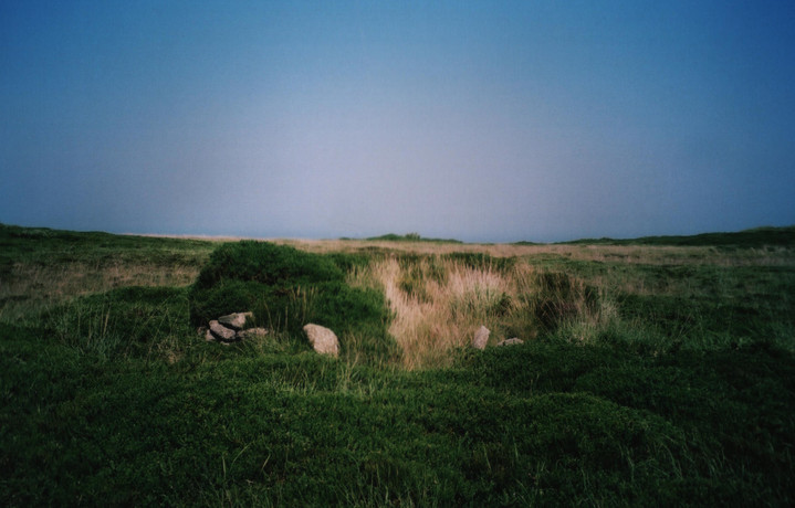
Just to add to my previous fieldnotes, the round houses are even more overgrown in midsummer now. The most easterly (nearest the path) is quite clear and easy to see, but as you go west along the line they are harder and harder to get to. One for the winter! thesweetcheat Posted by thesweetcheat
30th July 2009ce

Visited on a walk from Zennor to Towednack, via Zennor and Sperris Quoits and Trendrine Hill.

The roundhouses are strung out in a line across Sperris Croft, not the usual sort of grouping. They are quite overgrown in summer.
thesweetcheat Posted by thesweetcheat
1st February 2009ce

Miscellaneous

Add miscellaneous Add miscellaneous
From "Belerion" Craig Weatherhill (1981 Alison Hodge):

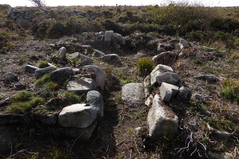
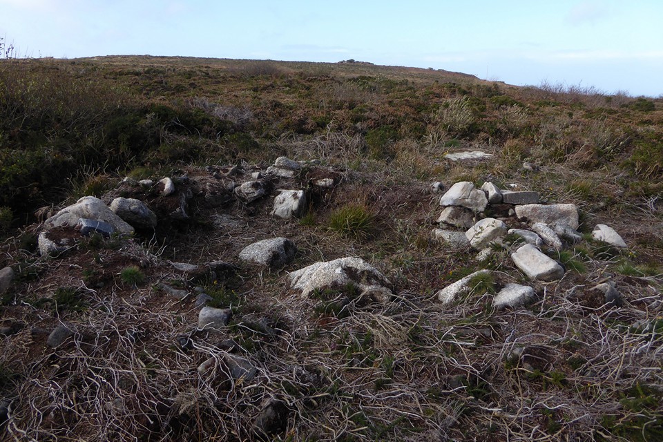
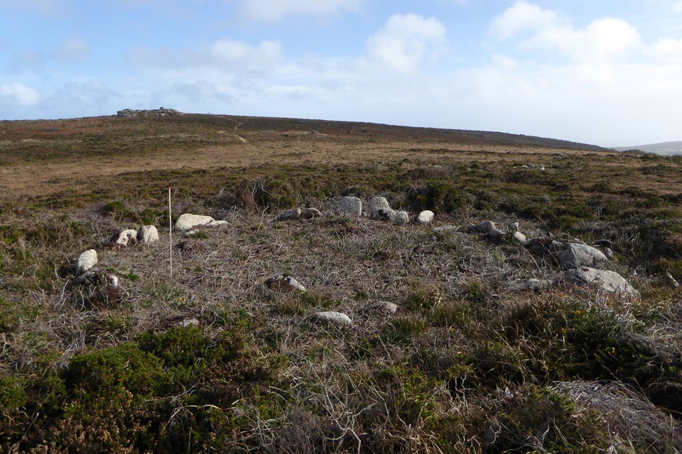
"Sperris Croft consists of seven hut circles strung out in a line along the ridge more than 700ft (214 m) above sea level, exposed and windswept. The huts measure between 20 and 46 ft (6.1 and 14m) in diameter and were excavated by the West Cornwall Field Club in 1956-7. The second and fourth huts from the east have a small chamber attached to their southern sides. Although very clearly seen, little more than foundations remain as stone from them was used in the building of two nearby mines, Wheal Sandwich and Wheal Sperris. It is ironic that very little remains of either of these mines."
thesweetcheat Posted by thesweetcheat
1st February 2009ce