If you read the link about the site, it is a very interesting multi phase site. The cairn being bronze age, the hill-fort Iron Age and being reused as a site for votice offering in the late Iron Age.
Its a pleasant walk although Im not sure about access. There doesnt seem to be any public paths or access. I walked up the hill from the north side of the hill near where a holy-well is marked on the map. This follows the natural contours of the hill. There were a few horses on the hill so keep so be aware of this.
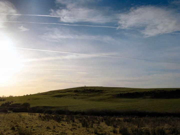
The remains of the cairn on top of the hill are very low with most of it removed. However what is left looks almost like what you would imagine the plan of the cairn to be.
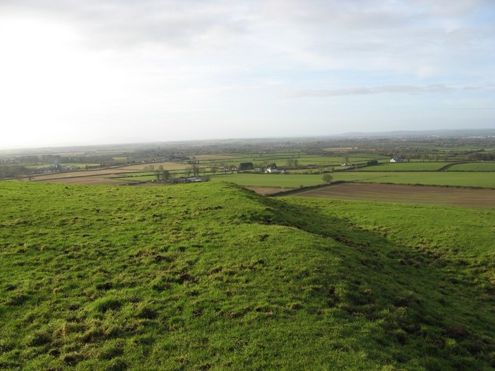
The ditch around the cairn is a later Iron Age enclosure. The hill-fort enclosure is much larger.
The link mentions that this may have been an area of dispute between two fiefdoms in early christain times and that ogham inscriptions on the churches at Clara and Gowran attest to this.