|
|

|
|
The Ring, Cleeve HillAncient Village / Settlement / Misc. Earthwork
|
||||||||||||||||||||||||
|
|
|
Images (click to view fullsize) |
|
|
Fieldnotes |
|
|
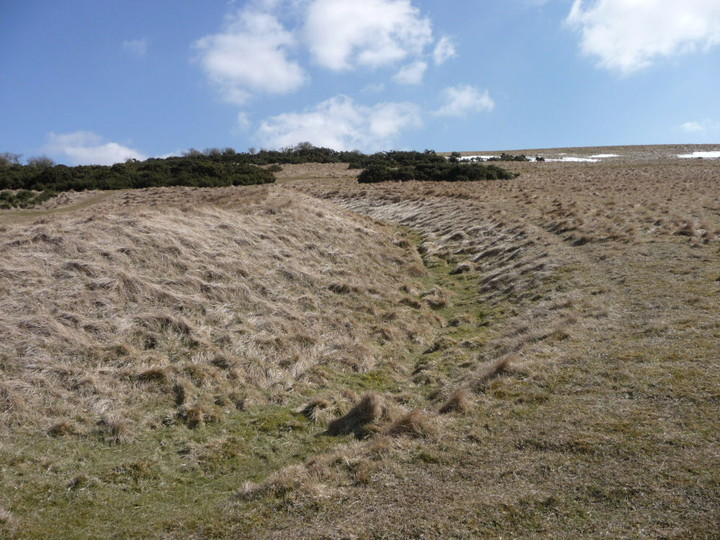
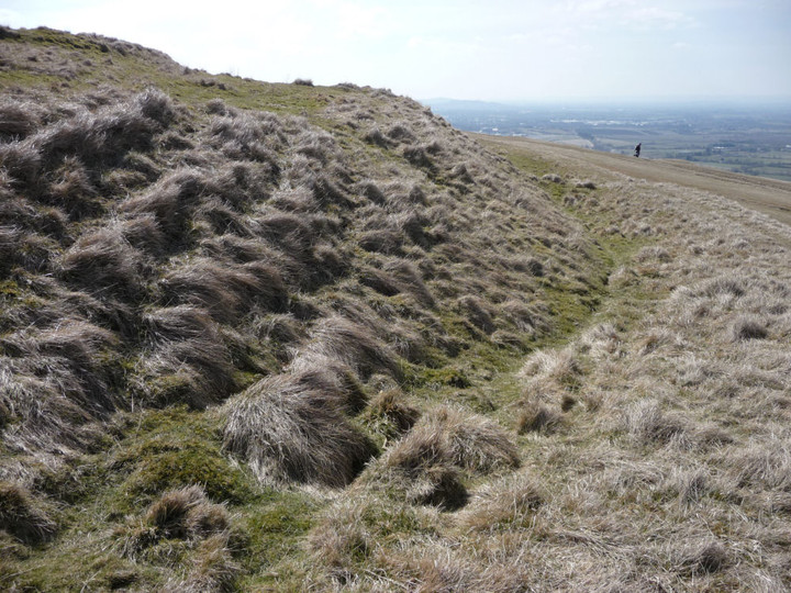
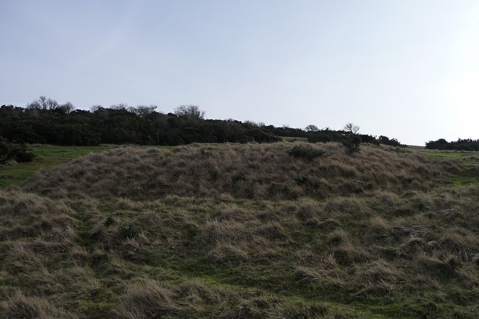
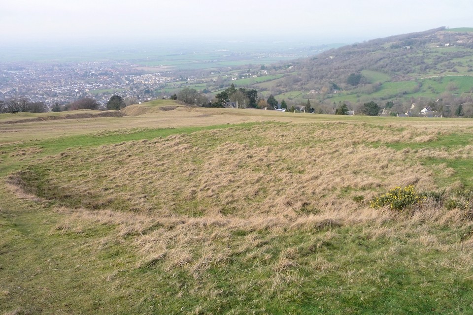
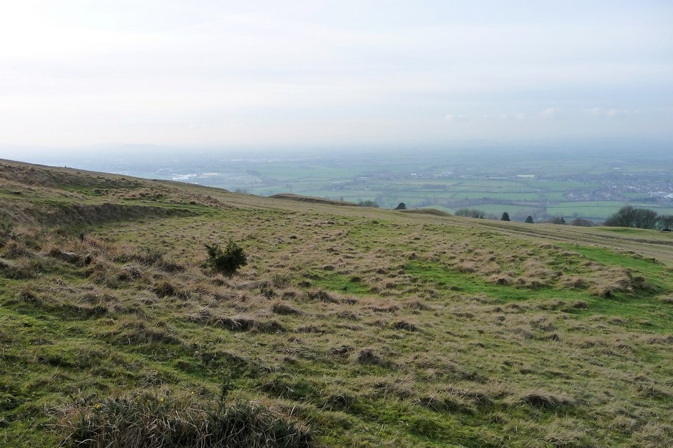
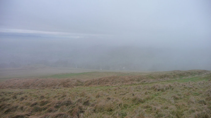
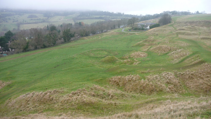
Visited 5.5.12 Access to Cleeve Hill is very easy and there are many footpaths which lead all over the site – particularly as there is a golf course over most of it! We parked in the lay by next to the telephone box on the B4632 although there is also a smaller parking area directly opposite. Much to Karen’s frustration the toilets shown on the O/S map is now closed! The lower slopes were covered in sheep and lambs and a dog was running around in a ‘playful’ mood. Although it meant no harm it was obviously worrying the sheep. As I walked up through the sheep an irate farmer came over thinking the dog was mine – which wasn’t helped when the dog ran straight over to me as if we were the best of friends! I think the farmer believed me when the dog eventually ran off into the distance! I carried on to the top of the hill (short but steep) and headed for the obelisk which has one on those metal diagrams on top which points out the various places in the distance. (You have to walk around a golfing green to reach it – hole 13 I think?) I then had a look at the Dyke before heading for the ‘Ring’. There were quite a few golfers about and although golf isn’t my thing I have to admit it is a great place to play golf. The views across to Wales are stunning – you can see for miles. (Although I am sure the wind causes havoc with the golf handicap!) As well as the golf course and its associated bunkers etc an awful lot of quarrying has taken place here in the past. I found the ‘lumps and bumps’ made it difficult to be sure I found the ‘Ring’. I had a photo with me and I know I was in the right area so I am pretty sure I found it but if I did, it isn’t much to write home about. It consists of little more than shallow earthen banks. If you weren’t looking for it specifically you would never know it was here. Although the ‘Ring’ was a disappointment it was more than made up for by that view – wow! I was planning to visit the Hillfort but time was against me and I headed back to the car. On the way down the hill I spotted an information board near one of the quarry sites. It gave information on the geological make up of the hill – types of rock to look out for etc. I can’t comment on the preservation of the Hillfort as I didn’t see it but there isn’t a lot to see of the other sites to be honest. However, the views are so fantastic I would recommend a visit for that alone. Just one warning – watch out for flying golf balls! |
Posted by CARL 14th May 2012ce |
|
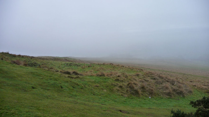
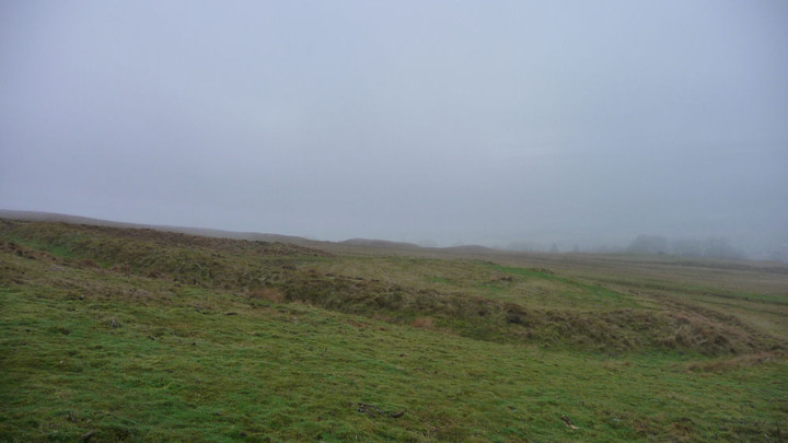
The Ring lies on the north-western side of Cleeve Hill and can be visited easily either from the Hill itself or from the road skirting the north-west edge of the hill (Cheltenham - Winchcombe). It is low-lying earthwork bank and ditch, too small for defensive purposes and possibly constructed for stock-control purposes, most likely during the Iron Age. Adjacent to The Ring is small circular feature which may be the remains of a Bronze Age round barrow (as recorded on the 1884 OS map), but which could equally be an Iron Age hut site (as recorded in the Royal Commission's 1976 inventory). |
 Posted by thesweetcheat
29th December 2008ce |