From the D903 less than 1km west of Lithaire, there's a road south, with a signpost advertising paintballing and other leisure pursuits; continue for 1km straight ahead, and you'll find a parking area to the left with map boards and a toilet block to the right.
Taking the track between these two, there's a kids playground and picnic area, and the path leads to the (filled in quarry) lake, with pedallos on it and some kind of shop/cafe (closed).
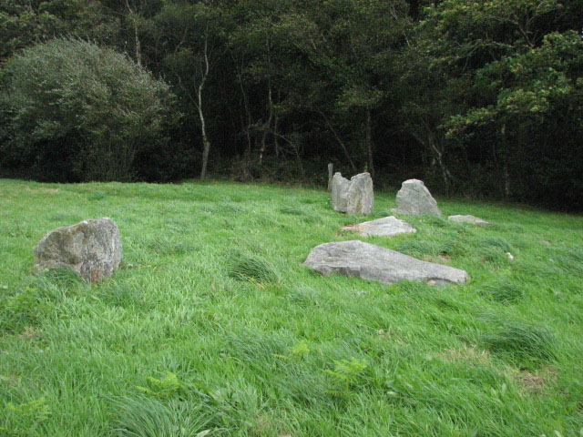
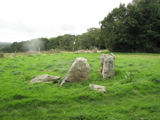
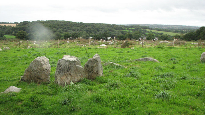
From here, it's a short but steep climb up woodland steps - so not suitable for the less mobile - and a right turn will lead you to the clearing with two allées couverte, this and Bois de la Plesse south.
About 500m in total, car park to site.
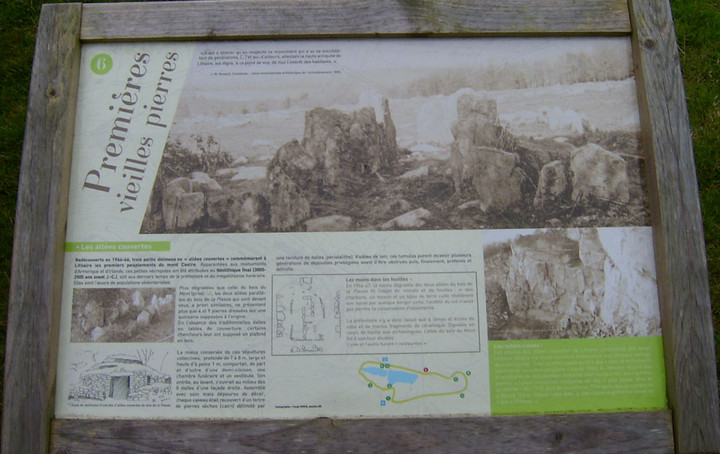
The information board mentions 3 allées, only two of which are visible here. The first, northern one, is quite ruinous, with 3 upright stones at its eastern end but other fallen ones showing the length of the chamber to have been about 9m.

 Maps / Plans / Diagrams: