The Modern Antiquarian
Log in
|
Register
Home
Latest Posts
Forums
Maps
Help
Browse Sites
News
Blog
Contributors
The Books
Select
-
Belgium
Denmark
Eire
France
Germany
Greece
Italy
The Netherlands
Norway
Portugal
Republic of Malta
Spain
Sweden
Switzerland
United Kingdom
Wales
Ceredigion
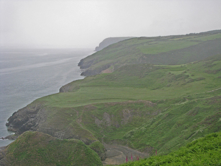
Castell Bach, Cwmtydu
Cliff Fort
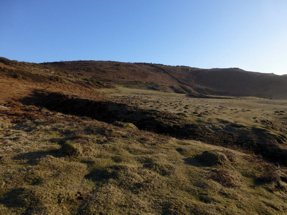
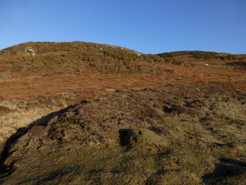
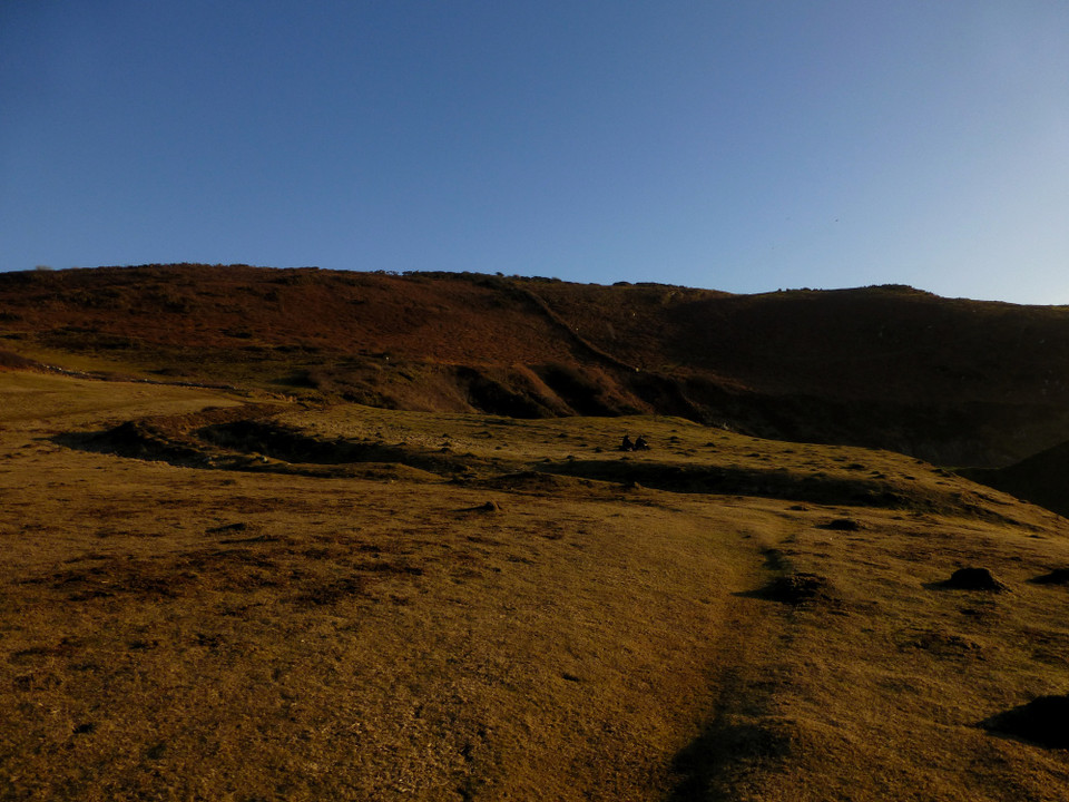
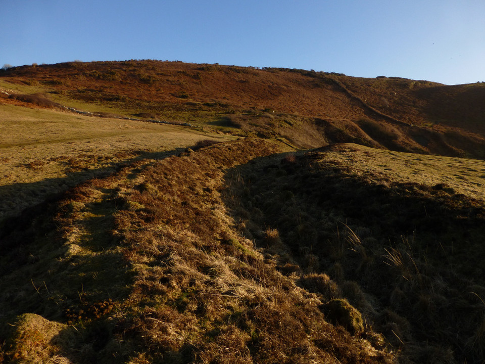
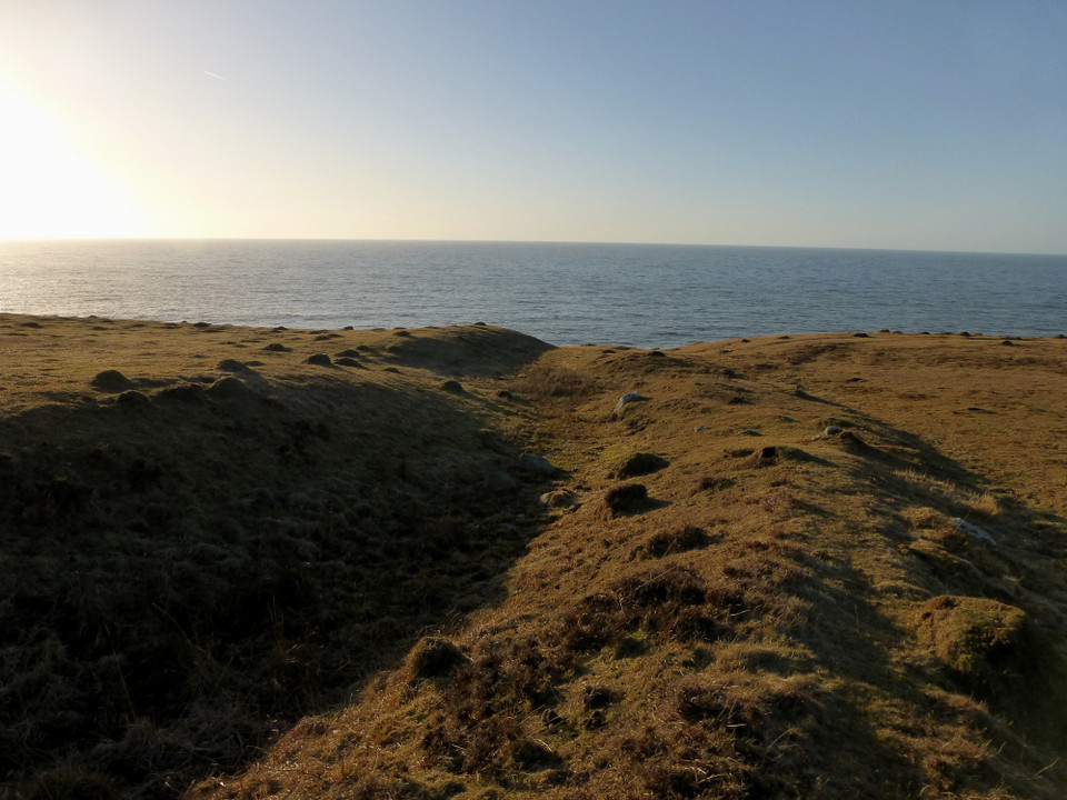
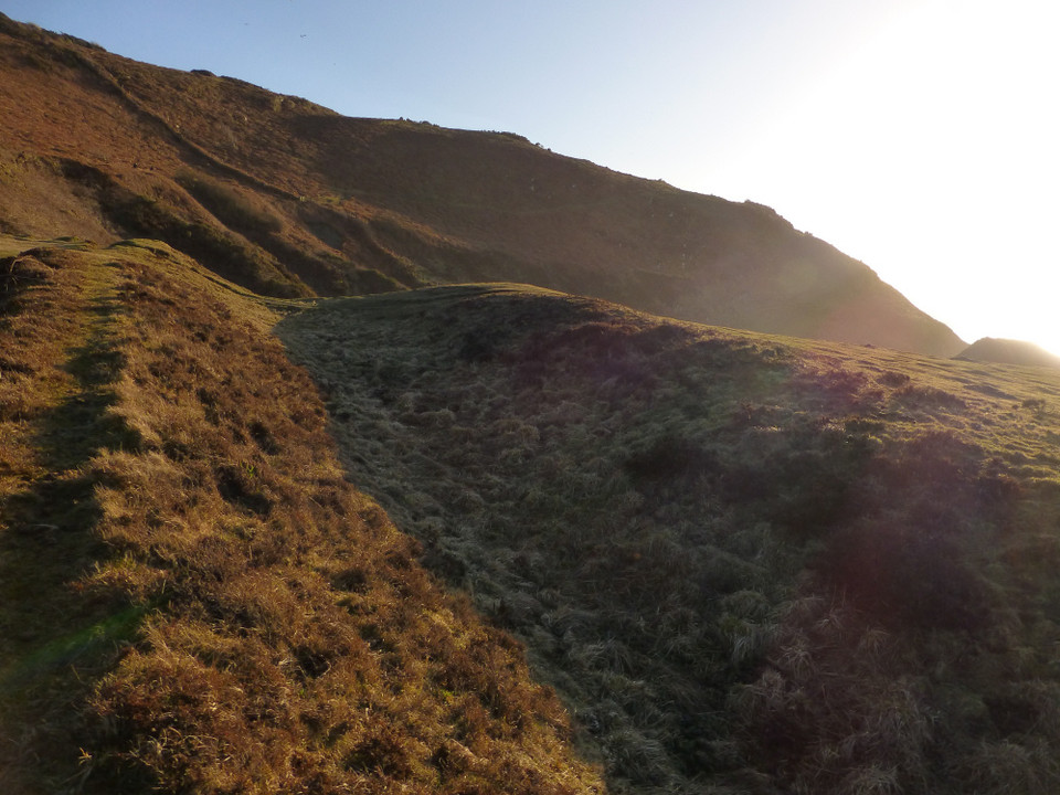
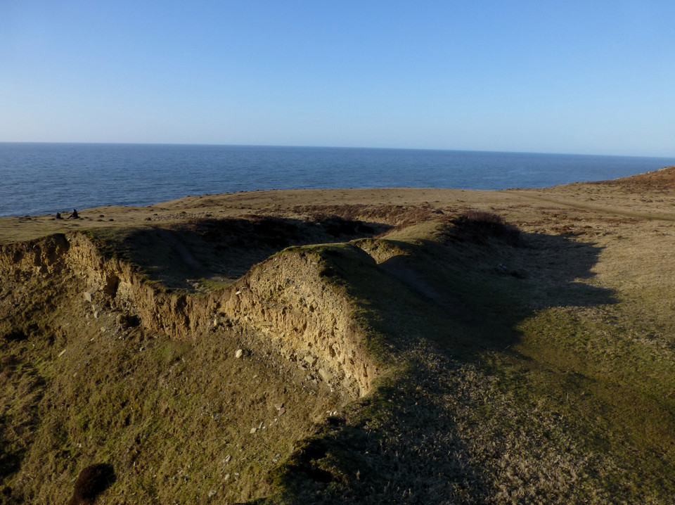
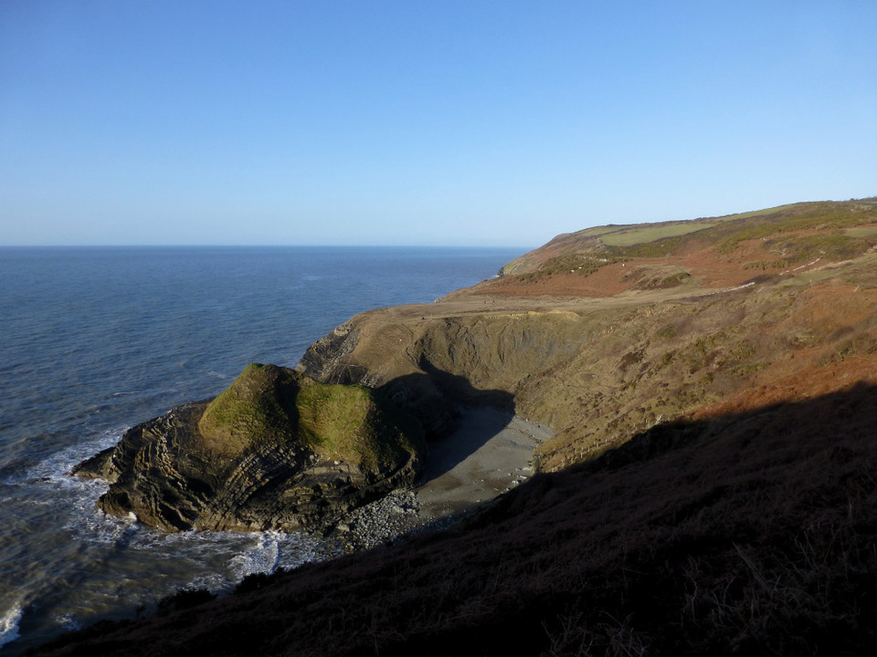
Castell Bach, Cwmtydu (Cliff Fort) on The Modern Antiquarian, the UK & Ireland's most popular megalithic community website. 10 images, plus information on many more ancient sites nearby and across the UK & Ireland.
Image © A. Brookes (8.3.2015)
Nearest Town:
New Quay (3km NE)
OS Ref (GB):
SN361581 /
Sheet: 145
Latitude:
52° 11' 46.57" N
Longitude:
4° 23' 54.1" W
Added by
C Michael Hogan
Images (10)
0 discussions
Start a topic
Show |
Hide
Web searches for Castell Bach, Cwmtydu
Flickr
Google
Google Images
The Megalithic Portal
Bing
Stone Pages
Streetmap.co.uk
Wikipedia
Show map
(inline Google Map)
- Sites within 20 km -
-
St Tyssilio's Churchyard Stone (0.73km SE) (4 posts)
Llwyn-on-Fach (5.01km ENE) (10 posts)
Pendinas Lochtyn (5.55km SW) (14 posts)
Pen-y-Graig (Llanarth) (6.97km ENE) (3 posts)
Crug Cou (7.13km ESE) (2 posts)
Llwyn Crwyn (7.2km ESE) (1 post)
Castell Bach (Penbryn) (7.4km SW) (7 posts)
Banc Rhosgoch Fach (8.47km E) (3 posts)
Penbryn Pillar Stone (9.81km SW) (2 posts)
Whilgarn (10.77km ESE) (1 post)
Castell Moeddyn (13.68km E) (1 post)
Foel y Mwnt (17.8km WSW) (6 posts)
Trichrug (18.11km ENE) (11 posts)
Banc y Warren (18.88km SW) (1 post)
Craig Gwrtheyrn (19.21km SE) (2 posts)
Llech Bron (19.33km ENE) (5 posts)
- Facilities within 20 km -
-
New Quay Tourist Infor... (Tourist Information: 3.2 km NE)
Aberaeron Tourist Info... (Tourist Information: 10.6 km NE)
Brynarian Caravan Park (Camping Site: 19 km ENE)
- Add -
-
Add news
Add an image
Add fieldnotes
Add folklore
Add miscellaneous
Add a link
Add a nearby facility
Add an alternative name/spelling
Images
(click to view fullsize)
Add an image
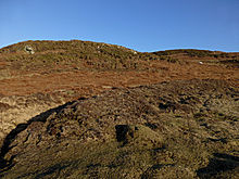 Image © A. Brookes (8.3.2015)