The Modern Antiquarian. Stone Circles, Ancient Sites, Neolithic Monuments, Ancient Monuments, Prehistoric Sites, Megalithic MysteriesThe Modern Antiquarian


Carn Llwyd North (Carningli)

Ancient Village / Settlement / Misc. Earthwork

<b>Carn Llwyd North (Carningli)</b>Posted by mountainmanImage © mountainman
Nearest Town:Fishguard (10km WSW)
OS Ref (GB):   SN064377 / Sheet: 145
Latitude:52° 0' 12.38" N
Longitude:   4° 49' 15.04" W

Added by mountainman


Discussion Topics0 discussions
Start a topic


Show  |  Hide
Web searches for Carn Llwyd North (Carningli)
Show map   (inline Google Map)

Images (click to view fullsize)

Add an image Add an image
<b>Carn Llwyd North (Carningli)</b>Posted by mountainman <b>Carn Llwyd North (Carningli)</b>Posted by mountainman

Fieldnotes

Add fieldnotes Add fieldnotes
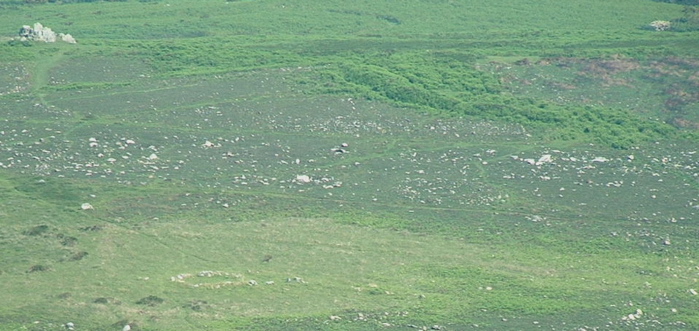
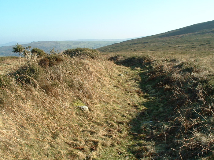
Curving ditch and embankment not far from Carn Llwyd (NB beware -- there are two tors with the same name in this area!) which appears to have been abandoned when only partially complete. Ditch on the outside and embankment on the inside. Something of a mystery.... but in the neighbourhood there are many Bronze Age hut circles -- at least 10 on this side of the mountain and at least 3 on Carningli South. Also a Bronze Age burial cairn at Carn Briw -- so this was a substantial Bronze Age settlement area. Described in detail by Alastair Pearson -- and now very clear on the new Google satellite imagery. Posted by mountainman
30th May 2008ce
Edited 30th May 2008ce