About two miles before reaching Forres (travelling on the A96 from Elgin), you encounter a sign indicating 'Rafford'.
Almost immediately after entering the outskirts of Rafford, take the first road on the left as far as the final house (named 'Castle Hill House').
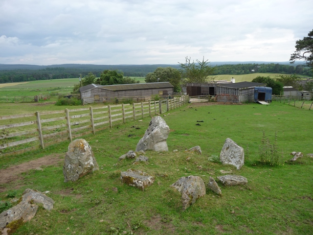
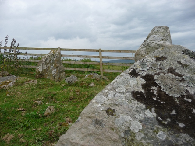
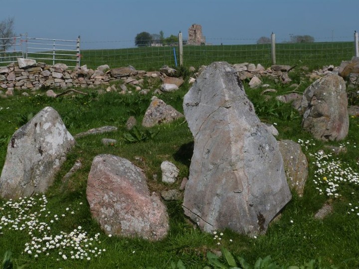
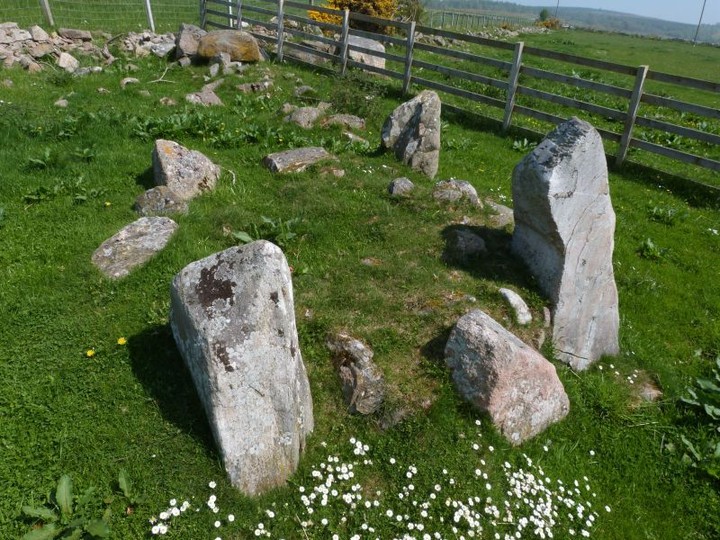
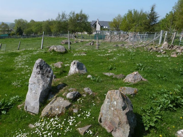
Immediately east of this house is a field gate. Enter the field, and follow the boundary fence surrounding the garden of the house for about 100 metres. The fence now turns right: follow it for a further 100 m till it meets the field boundary fence. Templestone Stone Circle is just a few metres beyond this fence.

 Posted by LesHamilton