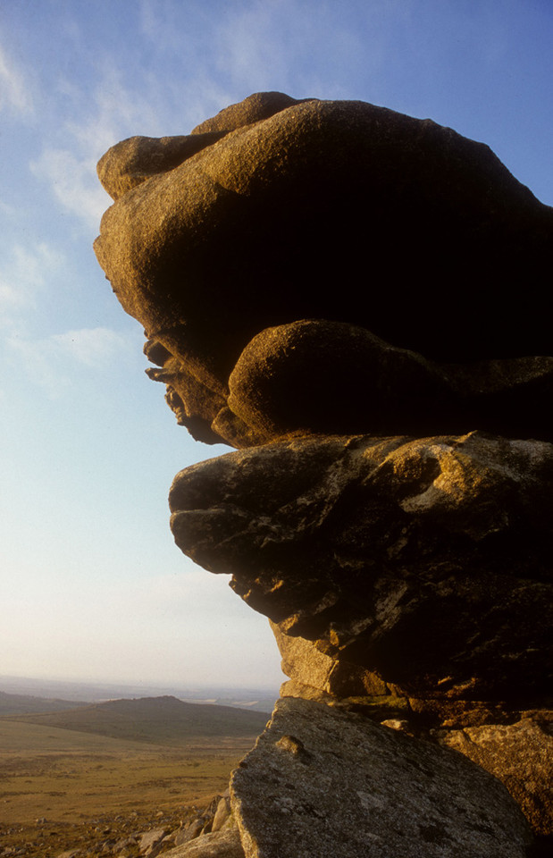
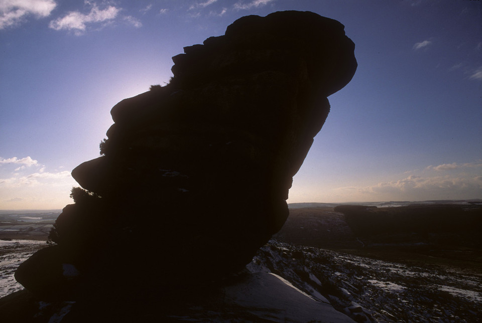
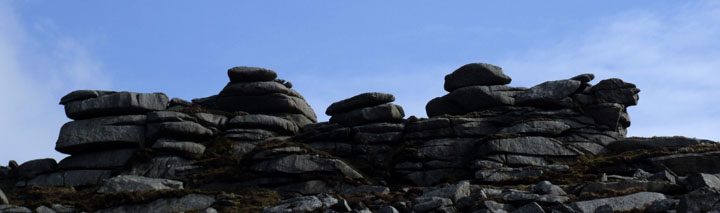
Not a true quoit as in those at Trethevy, Zennor, Lanyon or Chun but more in keeping with the one at Leskernick.
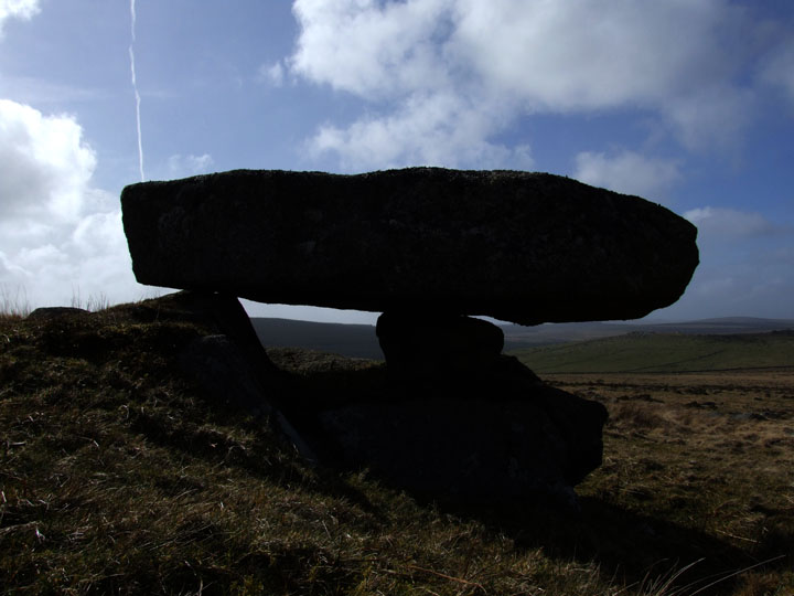
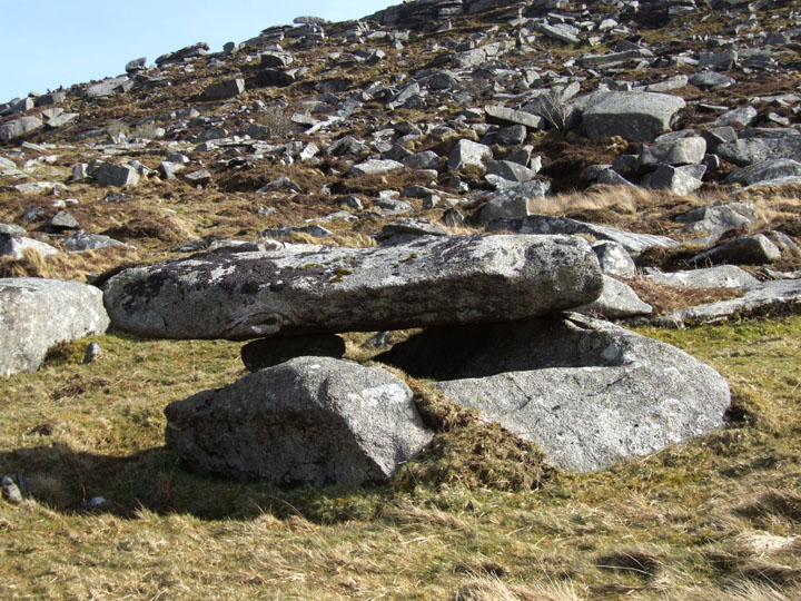
The cap stone sits balanced on one boulder and one very large rock. From the wetern end it looks as if the base has been cut away to allow space...or was it chosen because of this feature?
I will endevour to find out more about this stone setting.
From N: The B3254 heads S off the A30 at Launceton. Take the first left for B3254 St Petherwin at the first roundabout. Stay on the B3254 for c. 7 miles. Cross the Lynher river into Berriow Bridge. There is an unsigned dead-end lane turning R at the end of the narrow bridge . Follow this track uphill for c. 1.25 miles to reach a Car Park at a cattle grid at the end of the public road.
From S: From A38 take the A390 Liskeard exit. Follow All Routes B3254 into Liskeard. The B3254 becomes Pound St. Take the second exit R for All other routes at the roundabout, avoiding the Town Centre. Take the first L for B3254 Pensilva/St Cleer at the double roundabout. Follow the B3254 for c. 8 miles to reach Berriow Bridge. At the N end of Berriow Bridge there is an unsigned dead-end lane turning L just before the narrow bridge over the Lynher River. Follow this track uphill for c. 1.25 miles to reach a Car Park at a cattle grid at the end of the public road.
Twelve Men’s Moor starts here. There are many sites to be explored from here: They include Cairns, a Cist, the Pyramid Stone and a Settlement on Twelve Men’s Moor, an unusual Stone Row on Hawk’s Tor Summit and Arthur’s Bed on Trewortha Tor, all in a square kilometre.