The Modern Antiquarian
Log in
|
Register
Home
Latest Posts
Forums
Maps
Help
Browse Sites
News
Blog
Contributors
The Books
Select
-
Belgium
Denmark
Eire
France
Germany
Greece
Italy
The Netherlands
Norway
Portugal
Republic of Malta
Spain
Sweden
Switzerland
United Kingdom
England
Southern England
West Sussex
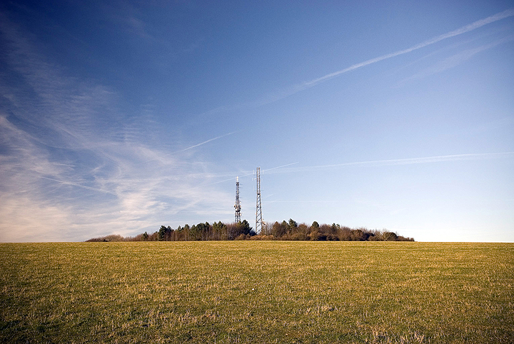
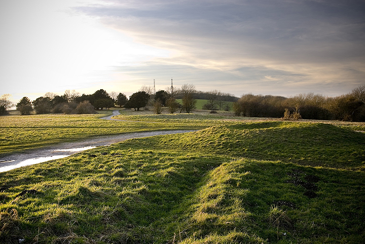
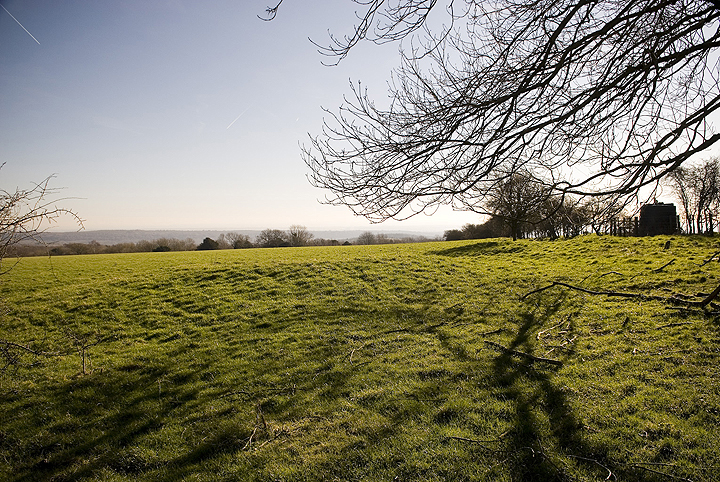
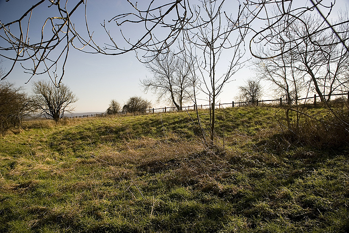
Glatting Beacon
Causewayed Enclosure
Glatting Beacon (Beacon Hill) (Causewayed Enclosure) on The Modern Antiquarian, the UK & Ireland's most popular megalithic community website. 7 images, plus information on many more ancient sites nearby and across the UK & Ireland.
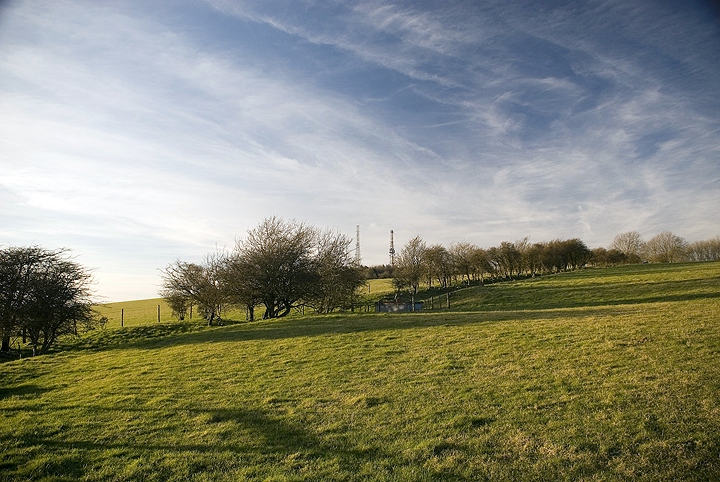
Image © A R Cane
Also known as:
Beacon Hill
Nearest Town:
Arundel (8km SE)
OS Ref (GB):
SU9658113202 /
Sheet: 197
Latitude:
50° 54' 34.59" N
Longitude:
0° 37' 34.01" W
Added by
A R Cane
Images (7)
0 discussions
Start a topic
Show |
Hide
Web searches for Glatting Beacon
Flickr
Google
Google Images
MAGIC
The Megalithic Portal
Bing
Stone Pages
Streetmap.co.uk
Wikipedia
Show map
(inline Google Map)
- Sites within 20 km -
-
Barkhale (1.13km E) (10 posts)
Barkhale Wood barrow (1.68km ESE) (2 posts)
Barlavington Down (2.23km NNW) (2 posts)
Duncton Down (2.62km NNW) (1 post)
Waltham Down (3.73km W) (7 posts)
War Dyke (4.45km ESE) (8 posts)
Lord's Piece (4.78km NE) (11 posts)
Rewell Wood Barrow (5.2km SE) (3 posts)
Lavington Common (5.67km NW) (3 posts)
Halnaker Hill (5.81km SW) (7 posts)
Little Bury (5.98km NW) (2 posts)
Boxgrove (6.48km SW) (11 posts)
Court Hill (6.88km W) (8 posts)
Heyshott Down (6.96km W) (5 posts)
Gallows Hill (7.09km NW) (8 posts)
The Burgh (8.43km E) (5 posts)
Rackham Banks (8.61km E) (9 posts)
Burpham Camp (8.68km ESE) (6 posts)
The Trundle (9.1km WSW) (23 posts)
Springhead Hill (9.52km E) (5 posts)
The Devil's Ditch (10.06km WSW) (8 posts)
Kithurst Hill (11km E) (10 posts)
Harrow Hill (11.92km E) (12 posts)
Chantry Hill (12.04km E) (3 posts)
Sullington Hill (12.81km E) (5 posts)
Sullington Warren (12.94km ENE) (8 posts)
Blackpatch Flint Mines (13.48km E) (5 posts)
Goose Hill Camp (13.64km WSW) (16 posts)
Bow Hill Camp (14.01km WSW) (4 posts)
Stoughton Down (14.27km WSW) (17 posts)
Stoughton Down (14.37km WSW) (2 posts)
Iping Common (14.47km WNW) (24 posts)
The Devil's Jumps (14.71km W) (10 posts)
Kingley Vale (14.8km WSW) (16 posts)
Church Hill Flint Mines (15.37km E) (3 posts)
Highdown Hill (15.43km ESE) (19 posts)
Hammer Wood (16.11km WNW) (1 post)
Chanctonbury Ring (17.29km E) (40 posts)
Bevis's Thumb (17.96km W) (16 posts)
Cissbury Ring (18.12km E) (41 posts)
Torberry Hill (19.92km W) (6 posts)
- Add -
-
Add news
Add an image
Add fieldnotes
Add folklore
Add miscellaneous
Add a link
-
Add a site
Add a nearby facility
Add an alternative name/spelling
Images
(click to view fullsize)
Add an image
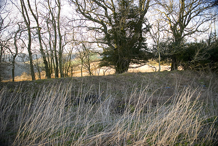
 Image © A R Cane
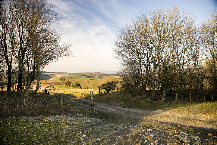