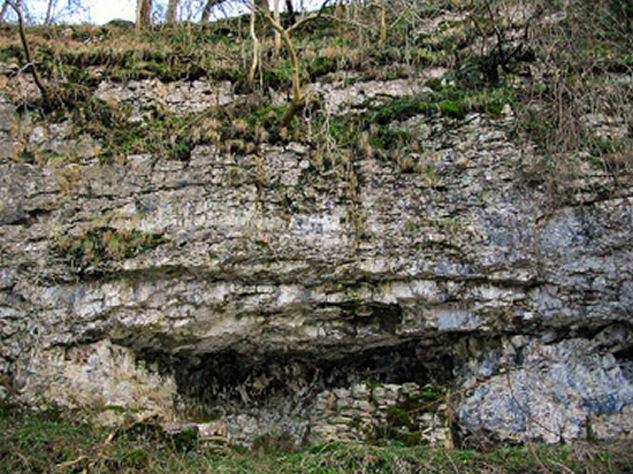
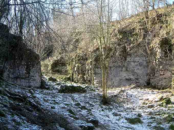
This rock shelter is located just over half a mile away from Bee Low in the secluded Calling Low Dale (previously Callenge Dale). Access is pretty straight forward once you have permission; although once at the entrance to the dale itself the going is rough with no path and plenty of ankle twisters.
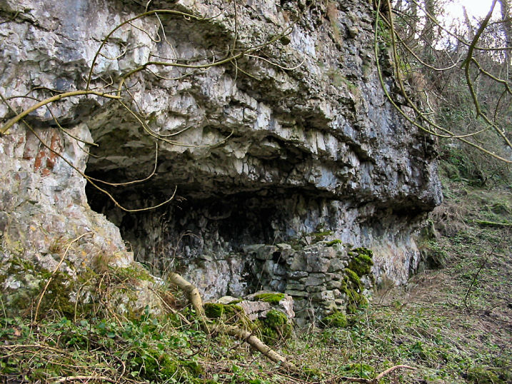
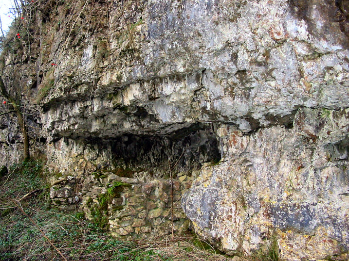
The wall across the face of the shelter, built by a 1980's visitor, lets you know you've found the right place.
In the Neolithic it was used as a burial site and two cists were constructed within it, one containing human bones, arrowheads and a Peterborough ware bowl. Colonel Harris who excavated here in 1936-39 also found other burials placed outside the cists.
At the shelter amongst the crags and trees the place has a 'lost world' feel to it, some what aided by the fact that no one comes here anymore. Although the dale is a tributary to one of the most popular walking dales, Lathkil, in the Peak.