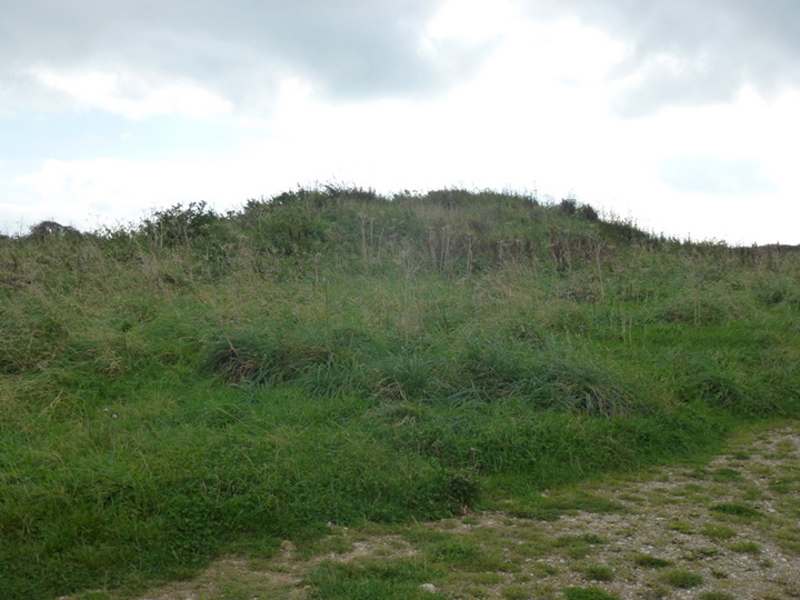
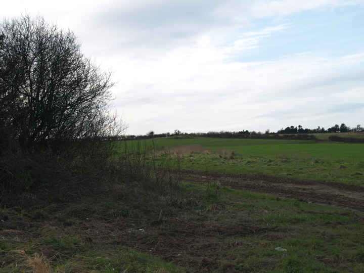
Finally got back to revisit these barrow, nearly 4 years later and what a pleasant surprise, the barrows are in much better nick. Full marks to what I assume is the farmer on whose fields these are for clearing all the rubbish and scrub from them. From just across the narrow road which leads to them can be seen the Lord's Barrow on the ridge to the east.
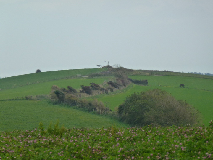
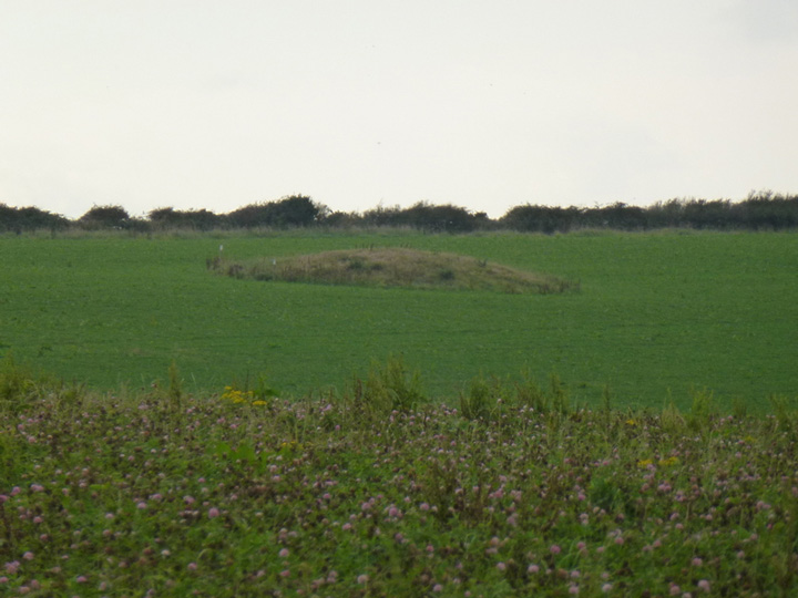
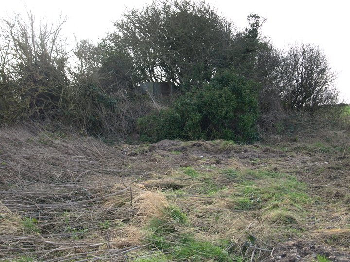
A collection of three round barrows north of the tiny hamlet of Holworth. The biggest is the most easily accessible as it is next to the road. It's very scruffy, covered in hawthorn and has a tin box on it for some reason. West of it in the middle of a field is a small scrub covered round barrow. South of this is a low round barrow in the corner of the same field.
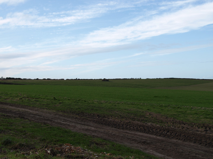
These appear to be part of a chain, with the Lord's barrow and the Five Marys to the east and Moigns down/Poxwell to the west. I will revisit these soon as I was pushed for time and the footpath was a waterlogged mess.

 Posted by formicaant