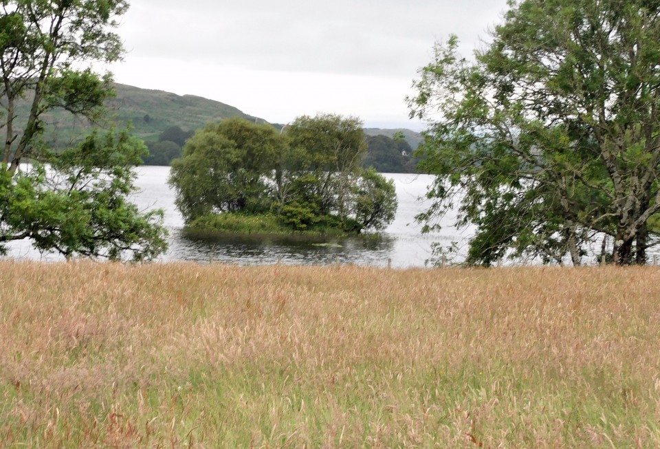
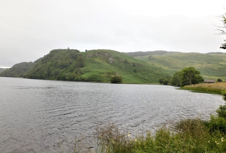
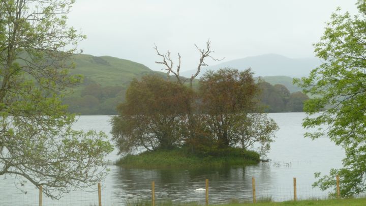
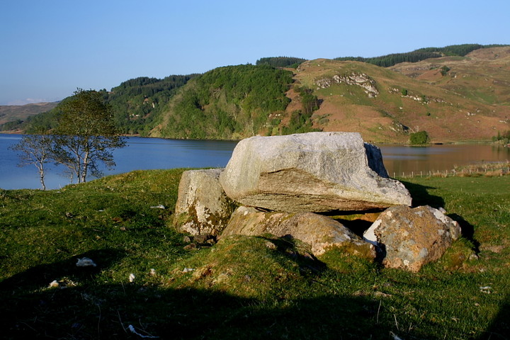
Log in
|
Register
Home
Latest Posts
Forums
Maps
Help
Browse Sites
News
Blog
Contributors
The Books
Select
-
Belgium
Denmark
Eire
France
Greece
Italy
The Netherlands
Norway
Portugal
Republic of Malta
Spain
Sweden
Switzerland
United Kingdom
Scotland
Argyll and Bute (Mainland)
Loch Nell
Dalineun Isle
Crannog
Dalineun Isle (Crannog) on The Modern Antiquarian, the UK & Ireland's most popular megalithic community website. 3 images, plus information on many more ancient sites nearby and across the UK & Ireland.
Image © Uwe Häberle 06/2011
Nearest Town:
Oban (4km NW)
OS Ref (GB):
NM883266 /
Sheet: 49
Latitude:
56° 23' 2.84" N
Longitude:
5° 25' 46.52" W
Added by
Paulus
Images (3)
0 discussions
Start a topic
Show |
Hide
Web searches for Dalineun Isle
Flash Earth
Flickr
Google
Google Images
MAGIC
The Megalithic Portal
Bing
Stone Pages
Streetmap.co.uk
Wikipedia
Show map
(inline Google Map)
- Sites within 20 km -
-
Dalnaneun Farm, Loch Nell (0.31km W) (22 posts)
Serpent Mound (0.42km WNW) (7 posts)
Loch Nell (1.2km NE) (0 posts)
Rubha na Moine (2.05km NE) (5 posts)
Clach na Carraig (3.39km NE) (13 posts)
Strontoiller 1 (3.45km NE) (8 posts)
Strontoiller Stone Circle (3.46km NE) (8 posts)
Strontoiller Cairn (3.46km NE) (1 post)
Glenmachrie (4.5km ENE) (5 posts)
Dauchy (10.14km SW) (6 posts)
Achnacree (10.43km NNE) (18 posts)
Achnacreebeag (10.8km NNE) (16 posts)
Nelson's Monument (12.95km ENE) (4 posts)
Dun Chruban (13.04km WNW) (1 post)
Eilean Musdile (destroyed) (13.38km W) (1 post)
Barr Mor (13.98km WNW) (1 post)
Port Donain (14.77km W) (7 posts)
Auchachenna (15.08km E) (14 posts)
Tirrefour (16.34km NNW) (7 posts)
Turnalt Farm (16.83km S) (2 posts)
Lochdon (17.42km W) (0 posts)
Port Sonachan (17.64km E) (13 posts)
Ardchonnell (17.67km ESE) (9 posts)
Sluggan (19.54km S) (3 posts)
- Add -
-
Add news
Add an image
Add fieldnotes
Add folklore
Add miscellaneous
Add a link
-
Add a site
Add a nearby facility
Add an alternative name/spelling
Images
(click to view fullsize)
Add an image