The Modern Antiquarian
Log in
|
Register
Home
Latest Posts
Forums
Maps
Help
Browse Sites
News
Blog
Contributors
The Books
Select
-
Belgium
Denmark
Eire
France
Germany
Greece
Italy
The Netherlands
Norway
Portugal
Republic of Malta
Spain
Sweden
Switzerland
United Kingdom
County Cork
Bellmount Upper SW
Stone Circle
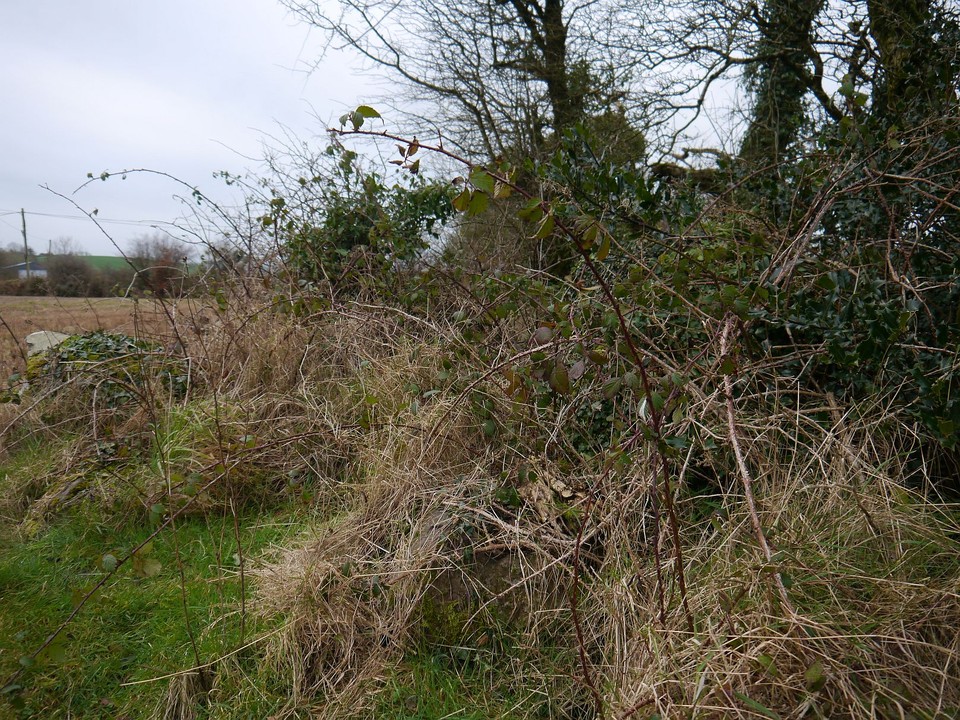
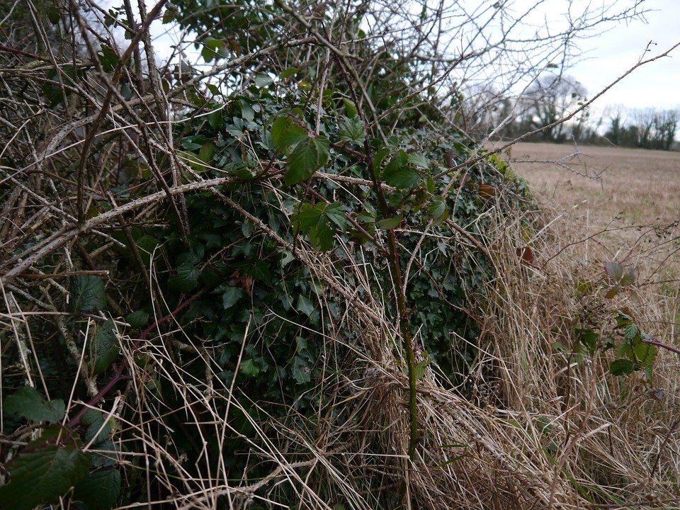
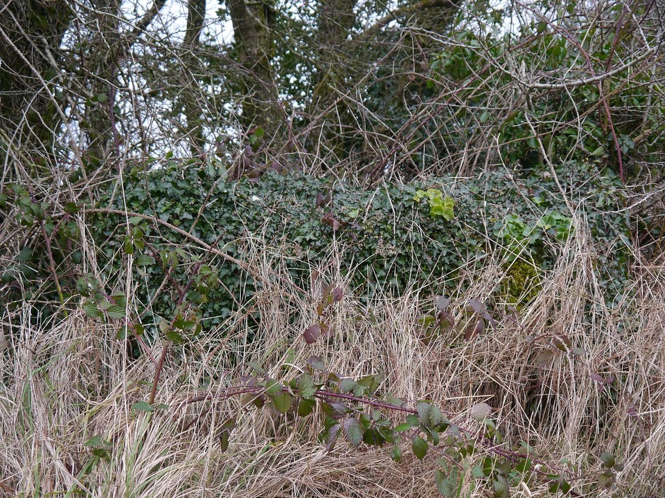
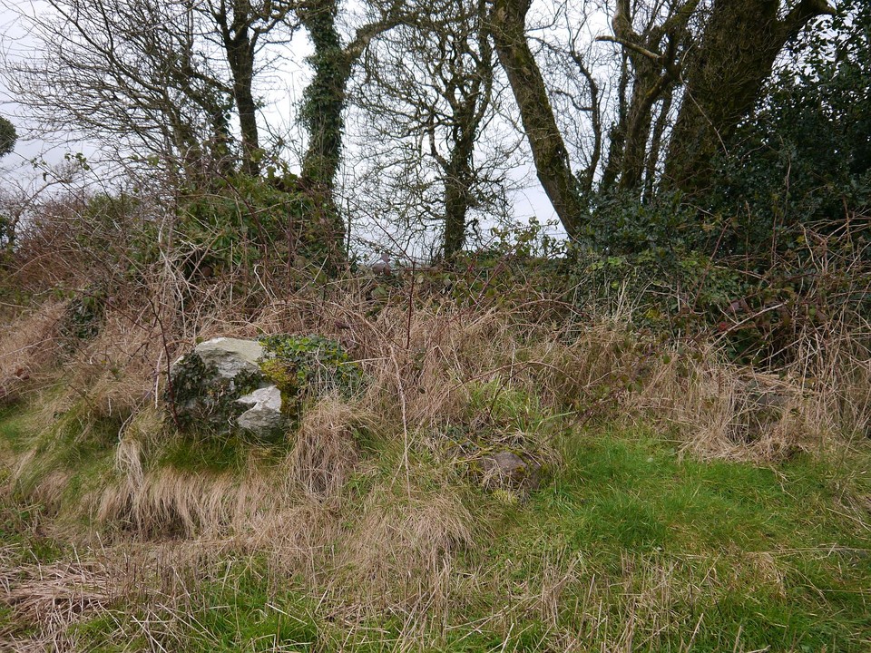
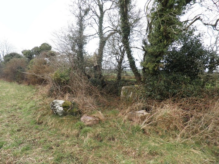
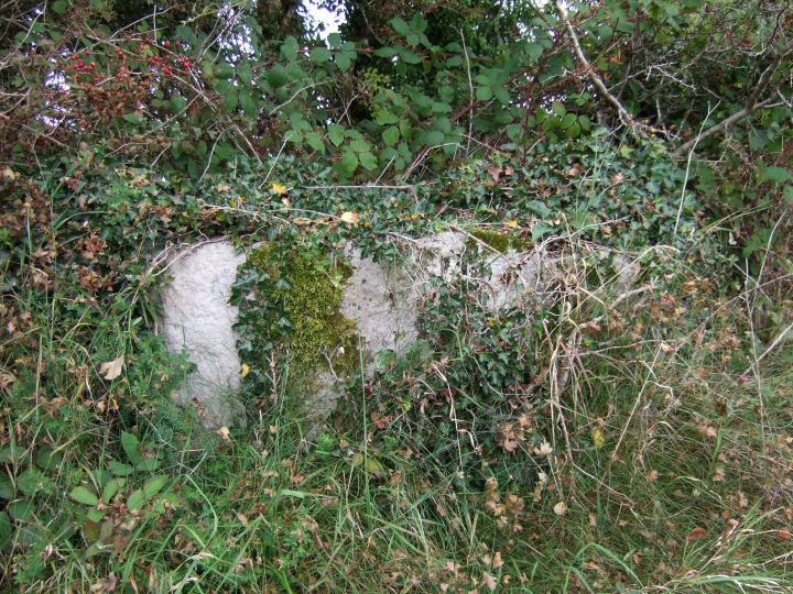
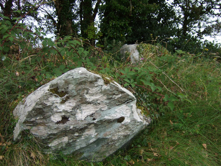
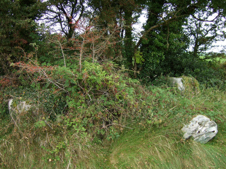
Bellmount Upper SW (Stone Circle) on The Modern Antiquarian, the UK & Ireland's most popular megalithic community website. 9 images, plus information on many more ancient sites nearby and across the UK & Ireland.
Image © gjrk
Nearest Town:
Cookstown (2km NNW)
OS Ref (IE):
W4274064159 /
Sheet: 86
Latitude:
51° 49' 36.91" N
Longitude:
8° 49' 50.28" W
Added by
gjrk
Images (9)
0 discussions
Start a topic
Show |
Hide
Web searches for Bellmount Upper SW
Flickr
Google
Google Images
The Megalithic Portal
Bing
Stone Pages
Wikipedia
Show map
(inline Google Map)
- Sites within 20 km -
-
Bellmount Upper NE (0.26km ENE) (9 posts)
Currabeha (North) (0.68km W) (7 posts)
Currabeha (South) (1.54km WSW) (7 posts)
Laughtneill (1.6km SSW) (9 posts)
Bengour East (5.19km WSW) (6 posts)
Knockawaddra (Muskerry East By.) (5.53km ENE) (9 posts)
Knocknaneirk NE (5.59km WSW) (13 posts)
Bengour West (5.73km SW) (6 posts)
Knocknaneirk SW (5.8km WSW) (17 posts)
Hornhill (5.98km WSW) (5 posts)
Knockavullig SW (6.08km N) (4 posts)
Hornhill (6.25km WSW) (8 posts)
Knockavullig NE (6.33km N) (2 posts)
Clearagh (6.5km W) (2 posts)
Castlelanaght (6.59km E) (6 posts)
Garranereagh (6.71km WSW) (4 posts)
Castlelanaght (6.73km E) (31 posts)
Kilnagnady standing stone (7.6km E) (2 posts)
Kilnagnady 2 (7.84km E) (1 post)
Killaneer (7.88km SW) (3 posts)
Rosnascalp (8.03km WNW) (4 posts)
Laravoolta 2 (8.26km SW) (3 posts)
Laravoolta 1 (8.27km SW) (2 posts)
Barnadivane (8.91km W) (0 posts)
Knockane (9.81km W) (8 posts)
Knockavilla (Clashanimud) (9.88km E) (10 posts)
Lackanashinagh (9.93km WSW) (0 posts)
Rossnakilla (10.41km W) (0 posts)
Rossnakilla (10.41km W) (9 posts)
Reanacaheragh (11km WSW) (0 posts)
Bealick (11.57km WNW) (3 posts)
Bealick (11.76km WNW) (0 posts)
Moneygaff West (12.41km WSW) (5 posts)
Laharankeal (12.77km NW) (4 posts)
Deelish (12.82km NW) (4 posts)
Corravreeda (13.01km ESE) (6 posts)
Gortyleahy (13.12km WNW) (4 posts)
Kinneigh (13.42km WSW) (4 posts)
Laharankeal (13.42km NW) (1 post)
Coolaclevane (13.89km WSW) (3 posts)
Coolaclevane (13.89km WSW) (3 posts)
Knockaunnagorp (13.99km WSW) (0 posts)
Kinneigh (14.51km SW) (5 posts)
Teergay (14.52km W) (8 posts)
Parkaghadallaun (14.63km ESE) (3 posts)
Knockanereagh (14.79km WSW) (8 posts)
Kilberrihert large wedge tomb damaged (14.96km NW) (2 posts)
Caherbaroul (15.51km NW) (7 posts)
Kilboultragh (15.66km WNW) (1 post)
Oughtihery E (16.07km NNW) (9 posts)
Carrigaphooca (16.24km WNW) (7 posts)
Toom (16.72km WSW) (4 posts)
Knocks (East) (16.8km SSW) (7 posts)
Behagullane (16.81km WSW) (1 post)
Kylefinchin 2 (17.13km W) (5 posts)
Rylane (17.15km N) (5 posts)
Rylane (17.27km N) (3 posts)
Inchinlinane (17.56km W) (5 posts)
Kylefinchin (17.62km W) (1 post)
Burrane (17.98km SSE) (4 posts)
Knocknagappul (18.03km NW) (3 posts)
Gortdonaghmore (18.2km NE) (4 posts)
Oughtihery W (18.28km NNW) (9 posts)
Maulmore (18.34km NNW) (8 posts)
Kilmartin Lower (18.39km N) (1 post)
Ballyvoge 1 (18.42km W) (6 posts)
Lissacresig 1 (18.48km WNW) (4 posts)
Scrahanard (18.5km WNW) (15 posts)
Lissacresig 2 (18.57km WNW) (5 posts)
Lissacresig 3 (18.57km WNW) (4 posts)
Lackaduv (18.65km WNW) (5 posts)
Knocknagappul (18.67km NW) (3 posts)
Knockagappul 1 (18.84km NW) (5 posts)
Gortnalicky (19.2km WNW) (1 post)
Lissacresig (19.31km WNW) (3 posts)
Carrigagulla (19.51km NW) (7 posts)
Carrigagulla NE (19.54km NW) (10 posts)
Clashmaguire (19.68km WNW) (1 post)
Caherkirky (19.79km SW) (11 posts)
Inchincurka (19.87km WSW) (15 posts)
- Add -
-
Add news
Add an image
Add fieldnotes
Add folklore
Add miscellaneous
Add a link
-
Add a site
Add a nearby facility
Add an alternative name/spelling
Images
(click to view fullsize)
Add an image
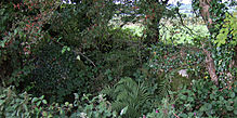 Image © gjrk