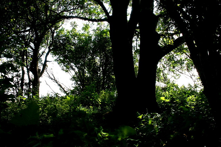
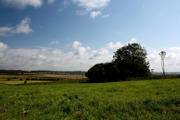
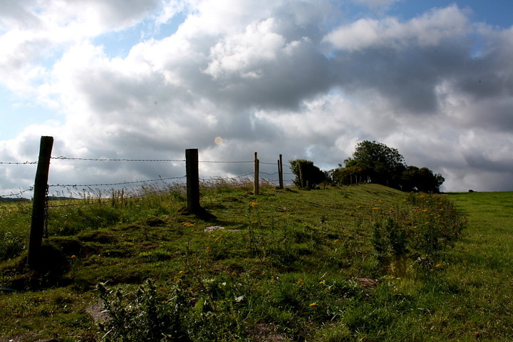
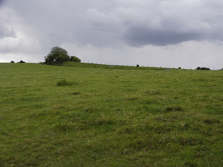
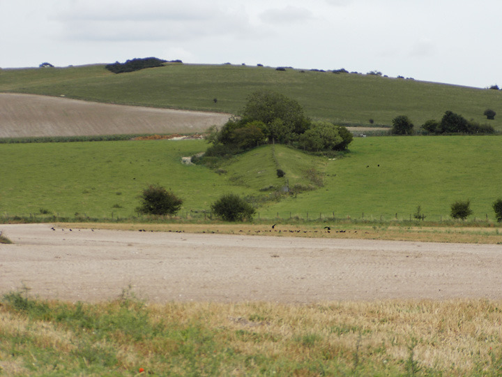
This is a really nice pear shaped long barrow. It is to the south of the eastern terminal of the great Dorset Cursus. It is to the west of Bokerley dyke and is oriented north/south.
('A' - SU 04151877 & 'B' - SU 04191871) Tumuli (NR) (One long barrow and one round barrow) ('C' - SU 04171870) Earthwork (NR). On Bokerly Down is a small enclosure 15 yds square, with a low vallum, the enclosed area being raised to the top of the bank. In the south west there is a possible entrance. Situated near a tumulus and a long mound. (2)
('A') A fine long barrow, over 300 ft long. (3)
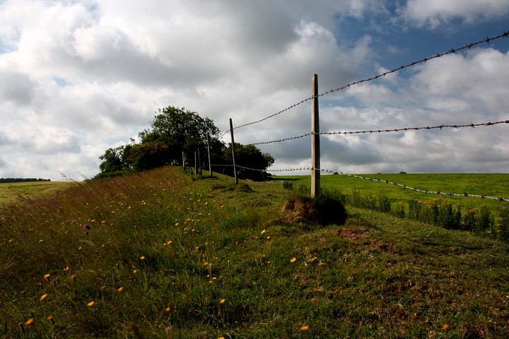
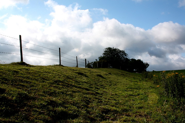
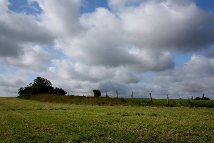
'A' is a long barrow some 80.0m in length by 14.0m in width and up to 2.4m in height at its southern or 'business' end. It is orientated almost due north to south and both side ditches are visible.
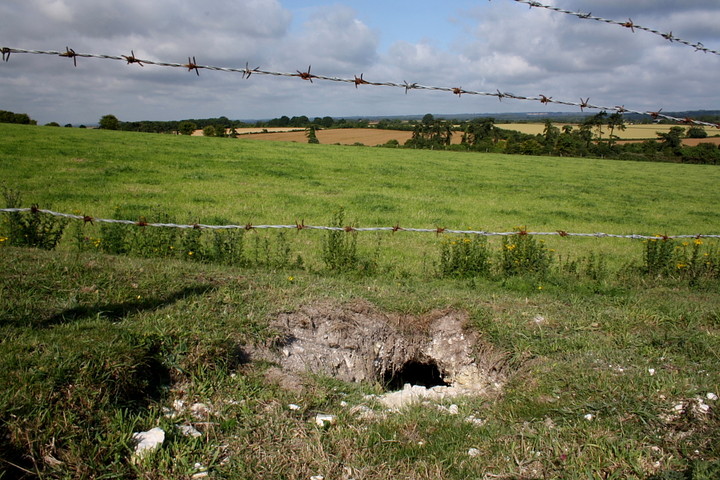
'B' is a bowl barrow 17.5m in diameter by 0.6m in height. There are very faint traces of a ditch on the south side.
'C' now appears as a slightly raised square platform some 17.5m square and up to about 0.7m in height. No trace of a ditch or an entrance is now visible. Its probable original form can be clearly seen on air photograph 240 by A Keiller, where it appears to be a square enclosure with slight bank and outer ditch. But no entrance.
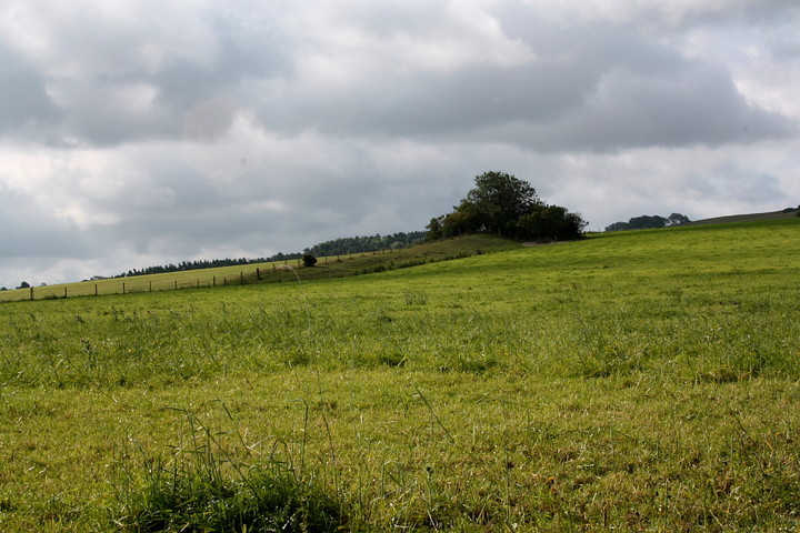
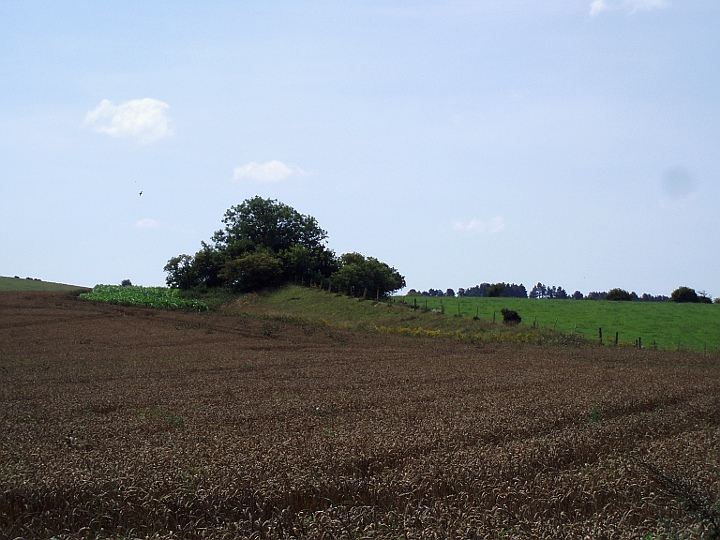
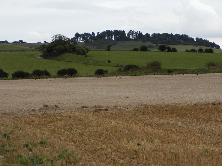
Long Barrow (SU 04161876), on Bokerley Down lies on the north slope of a low spur and is aligned north north west - south south east on the north east end of the Cursus. Ploughing has largely obliterated the side ditches and has damaged the mound; it is now 300 ft long, and 60 ft across and 8 ft high at the south east end, but narrower and lower at the north west end.
Bowl (SU 04201871), close to the south east end of long barrow; diameter 45 ft, height 1 1/2 ft. (5)
Pentridge 43 ['C'] SU 04181869 Small square enclosure, length of side 15.5 to 18.5m, immediately S of long barrow. Aligned NE-SW; labelled 'enclosure' on some OS maps and drawn as scarped square; Crawford described as 'platform' surrounded by slight ditch (Crawford and Keiller 1928). (6-7)
NB this record now deals solely with the long barrow. The round barrow (SU 01 NW 211) and the square feature (SU 01 NW 212) have now been recorded separately.
A long barrow, listed by RCHME as Pentridge 20 and by Grinsell as Pentridge I. Located on Bokerley Down, it is aligned north northwest-south southeast, the northerly end pointing towards the northeastern terminal of the Dorset Cursus (Linear 41) circa 350 metres to the north. Ordnance Survey field investigation in 1969 described the barrow as a mound circa 80 metres in length and 14 metres in width, standing up to 2.4 metres in height at its southern "business" end. Both side ditches were still visible as surface features. A round barrow (SU 01 NW 211) and a small sqaure feature (SU 01 NW 212) are located immediately to the south.

 Posted by formicaant
 Posted by Chance