The Modern Antiquarian. Stone Circles, Ancient Sites, Neolithic Monuments, Ancient Monuments, Prehistoric Sites, Megalithic MysteriesThe Modern Antiquarian


Backbury

Hillfort

<b>Backbury</b>Posted by thesweetcheatImage © A. Brookes (12.4.2014)
Also known as:
  • St. Ethelbert's Camp

Nearest Town:Hereford (8km W)
OS Ref (GB):   SO586388 / Sheet: 149
Latitude:52° 2' 44.03" N
Longitude:   2° 36' 13.42" W

Added by Rhiannon


Discussion Topics0 discussions
Start a topic


Show map   (inline Google Map)

Images (click to view fullsize)

Add an image Add an image
<b>Backbury</b>Posted by thesweetcheat <b>Backbury</b>Posted by thesweetcheat <b>Backbury</b>Posted by thesweetcheat <b>Backbury</b>Posted by thesweetcheat <b>Backbury</b>Posted by thesweetcheat <b>Backbury</b>Posted by thesweetcheat <b>Backbury</b>Posted by thesweetcheat <b>Backbury</b>Posted by thesweetcheat <b>Backbury</b>Posted by thesweetcheat <b>Backbury</b>Posted by thesweetcheat <b>Backbury</b>Posted by thesweetcheat <b>Backbury</b>Posted by thesweetcheat <b>Backbury</b>Posted by thesweetcheat

Folklore

Add folklore Add folklore
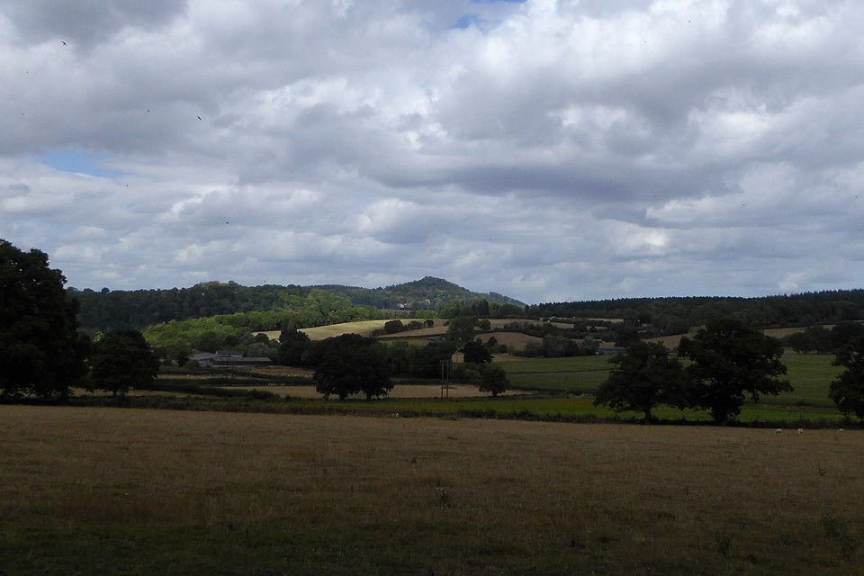
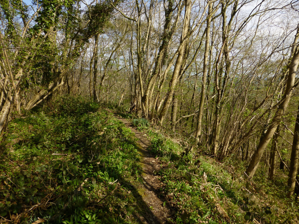
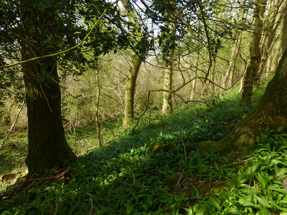
About a mile and a half from [Stoke Edith] Mansion, on the south-west, and ocupying the summit of a commanding eminence, is St Ethelbert's Camp, said, by popular tradition, to be the spot where Ethelbert pitched his tents when on his journey to the Court of King Offa.*
p590 of 'The Beauties of England and Wales' v6 (1805).

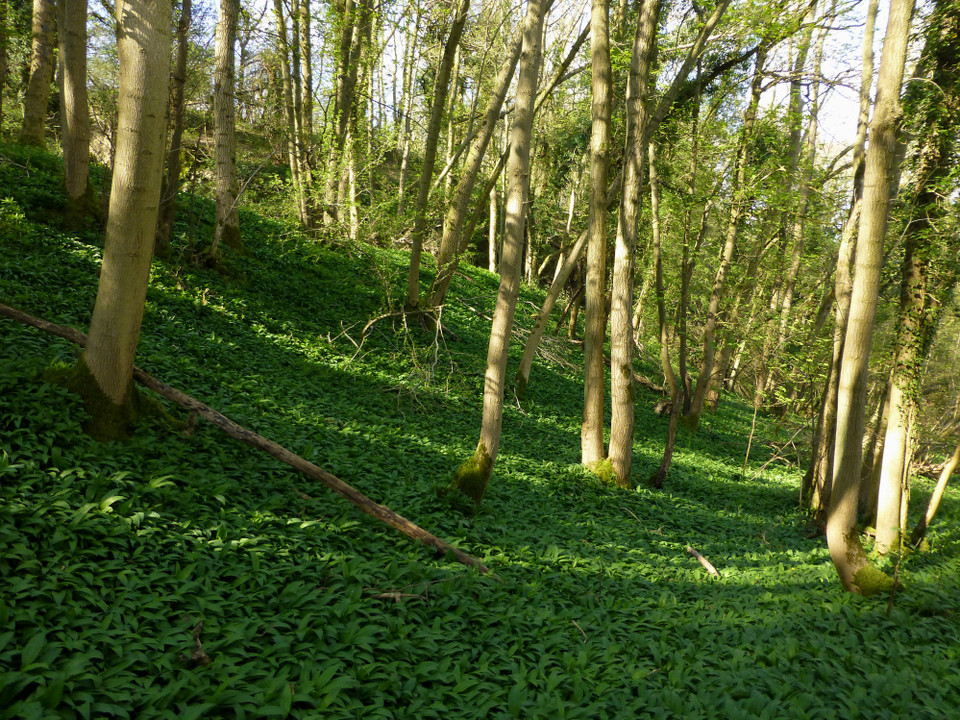
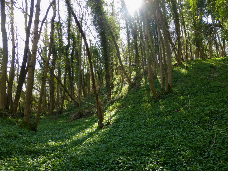
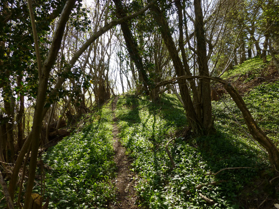
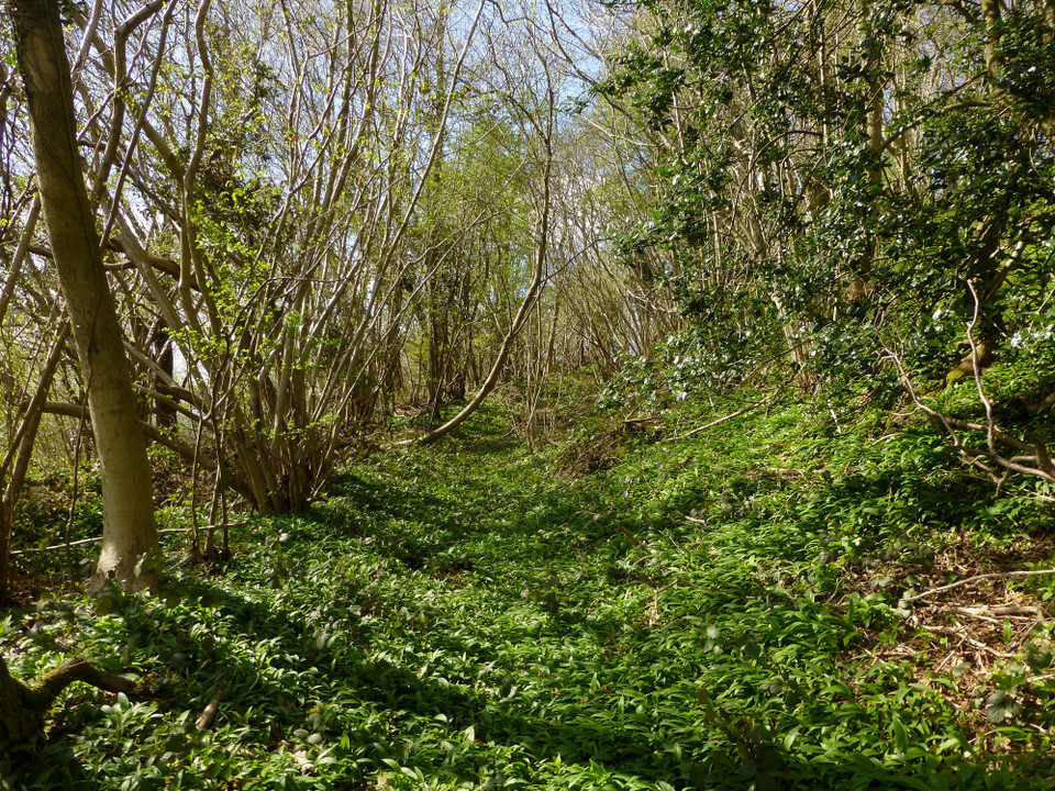
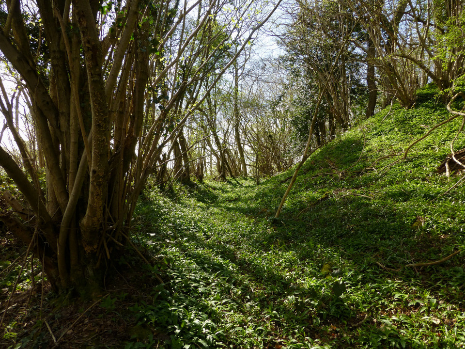
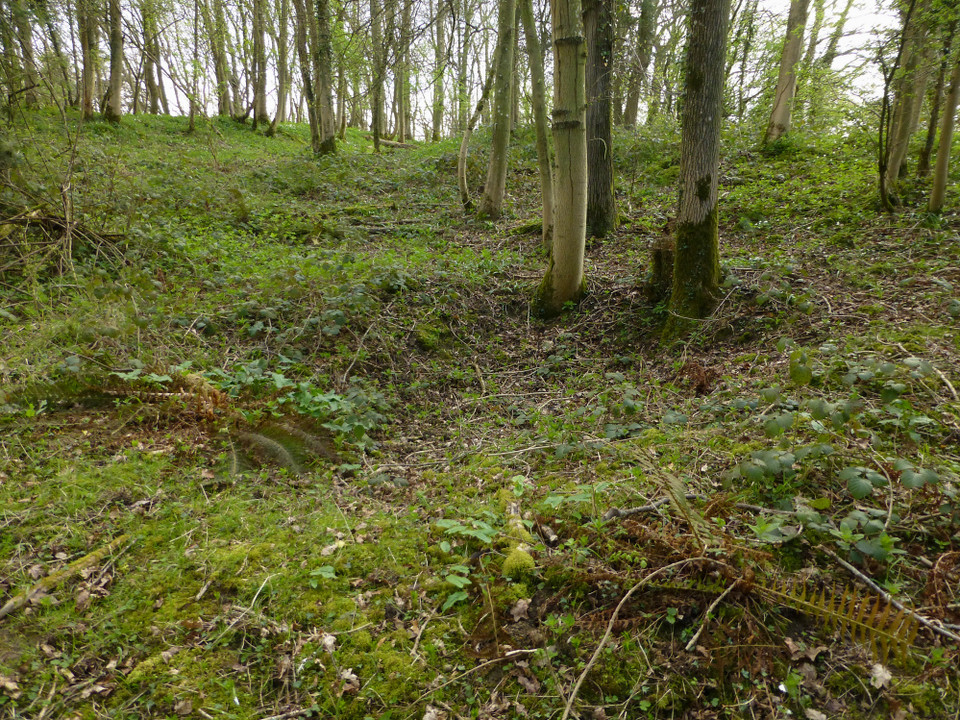
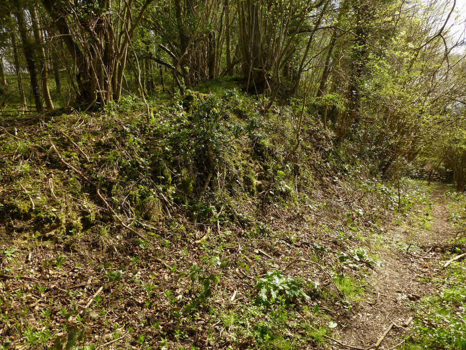
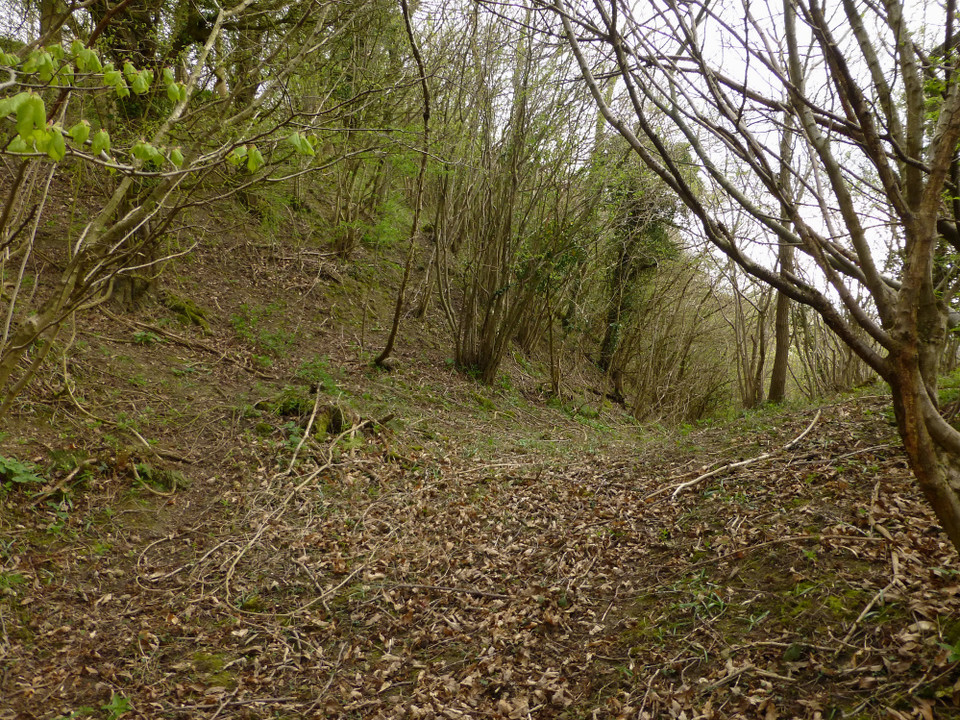
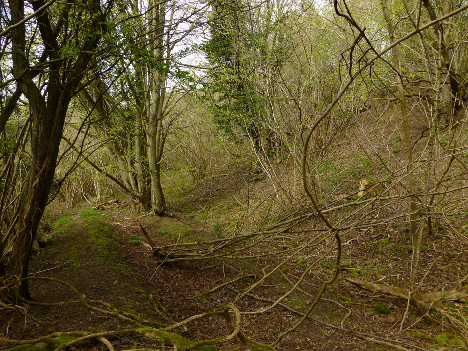
The Herefordshire on-line SMR says that the Ordnance survey first changed the name on the map to 'Backbury' in 1926. Landslides have obscured the defences in places.

*Sadly that was where he met his fate, at Sutton Walls.
Rhiannon Posted by Rhiannon
26th August 2007ce
Edited 27th August 2007ce