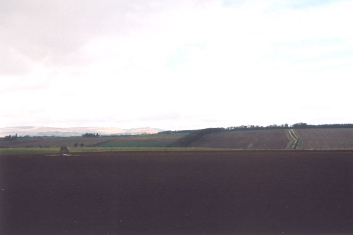
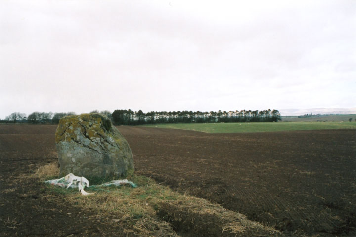
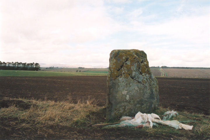
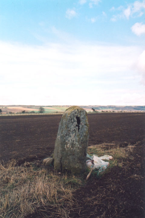
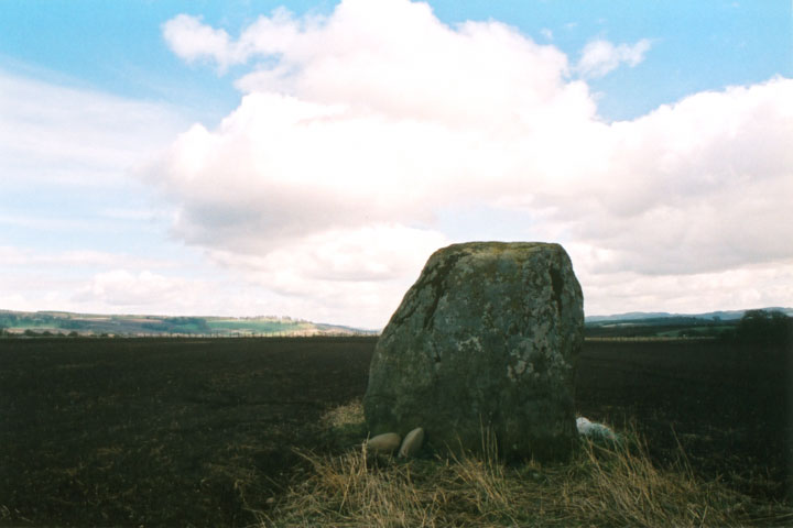
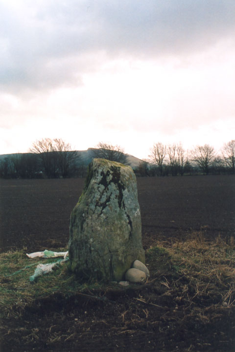
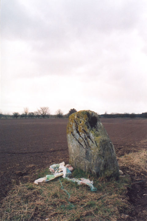
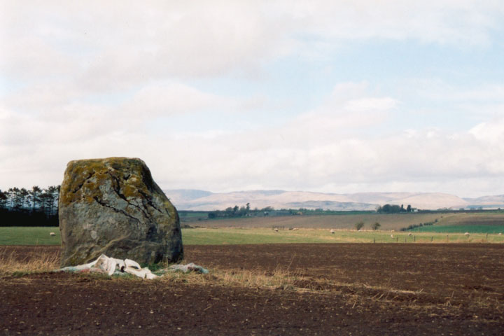
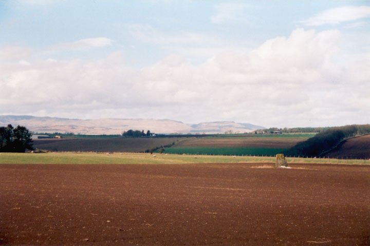
This stone stands on its own in a field close to Belhie farm on the haughs of Aberuthven. First appearances suggest that it's an isolated site, but in fact the surrounding area features a complex of ritual monuments, mostly only showing up as crop-marks. (see main Belhie grouping)
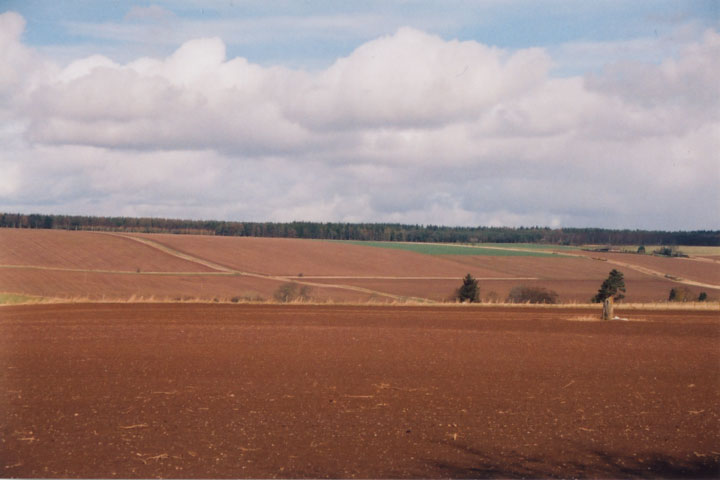
As can be seen from the photos above, the stone enjoys great views in all directions to the surrounding hills. This open aspect will be changed forever if the plans for a film studio come to fruition, with a hotel and golf clubhouse planned for either side of the standing stone, which would stand at the end of a car park.
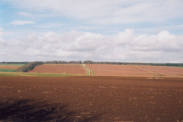
Directions - head S from Perth on the A9, and after approximately 10.0km take the turn-off to the right for Aberuthven. The village is small and doesn't have a car park, but there is space to park on the street. To save yourself a walk, park as close as possible to the bridge across the river at the S edge of the village. Cross the bridge on foot, and take the first road on the right, and then immediately the next turn to the right, up a rough farm track, past some cottages on your right. Walk up the track, and after a couple of hundred metres you will pass Loanhead farm on your right. Continue up the track, and you will see Belhie farm straight ahead of you. Keep walking towards Belhie for another couple of hundred metres, until you see a track off to your right heading along the field boundary to a gate at the edge of some trees. Walk along to this gate, which will take you into the field that the stone is in. After climbing over the gate, follow the edge of the field round to your right to get closer to the stone. If there are crops in the field, it's still possible to get decent photographs from the far edge of the field.
The OS Name Book recorded in 1860 that this stone was supposed to be all that remained of a "Druidical Temple" although it didn't cite any references. The site is also marked on the 1867 OS map as "supposed remains of Druidical Temple" (see link below).
However, aerial photos taken in 1987 showed that the stone is surrounded by a probable henge showing up as faint cropmarks. There is a ditch of width 1 to 2.5m and diameter of around 21 to 22m, and the stone stands in the S sector of this enclosure, just inside the line of the ditch which seems to be interrupted.

 Posted by BigSweetie