Directions:
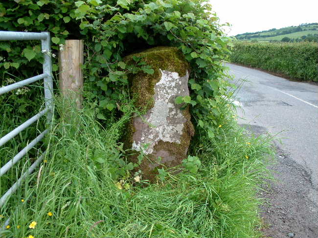
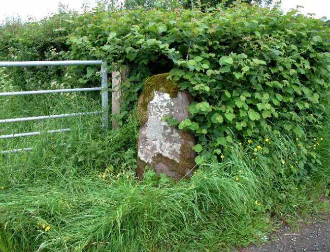
If driving north-west along the B4348 out of Dorstone, the stone is next to a metal field gate on the left. It is just about possible to squeeze in next to the field gate but be careful as this road is very busy and the locals don’t hang about!
At this time of year the stone was easy to access although it was covered by a thick coating of moss. (a lot of growth since Baza's photo)
Although I couldn’t see any obvious cup mark I felt through the moss and am pretty sure I felt it near to the ground on the side of the stone facing the road.
Due to the proximity of the fast passing cars I didn’t hang around long.
This stone stands by the side of the B4348, 1/2 mile west of the village of Dorstone, by the side of a field entrance. It has been used as a gatepost in the past.

 Posted by baza