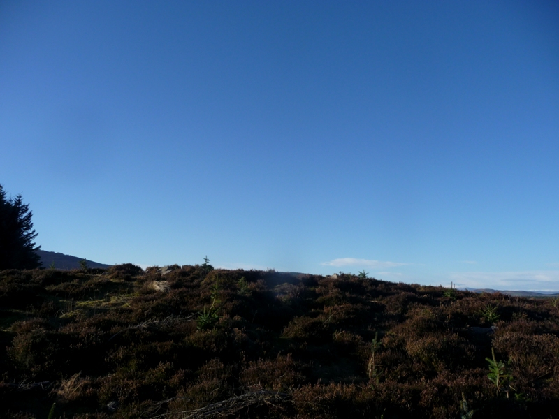
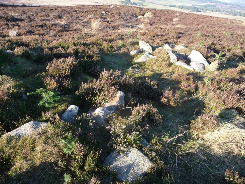
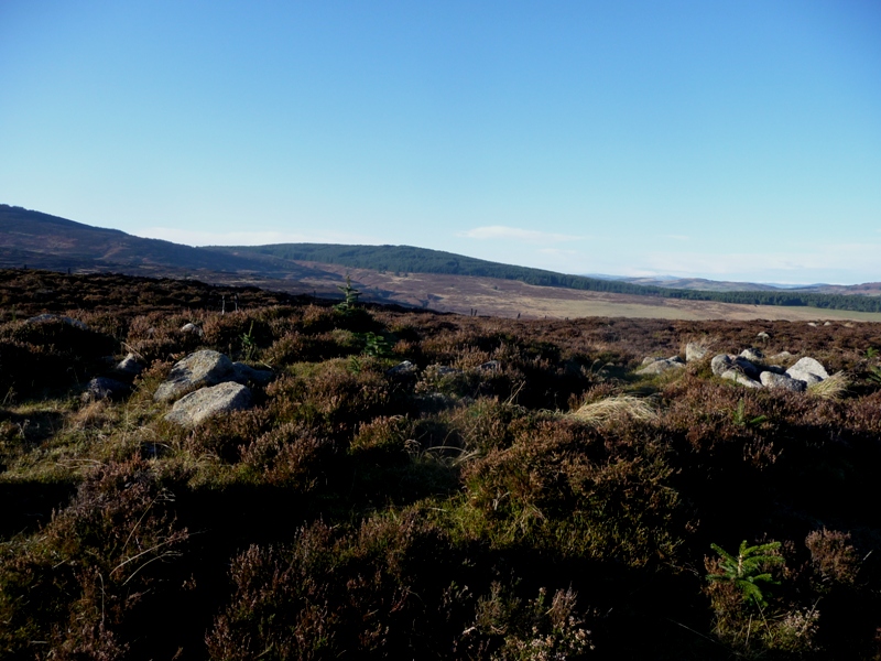
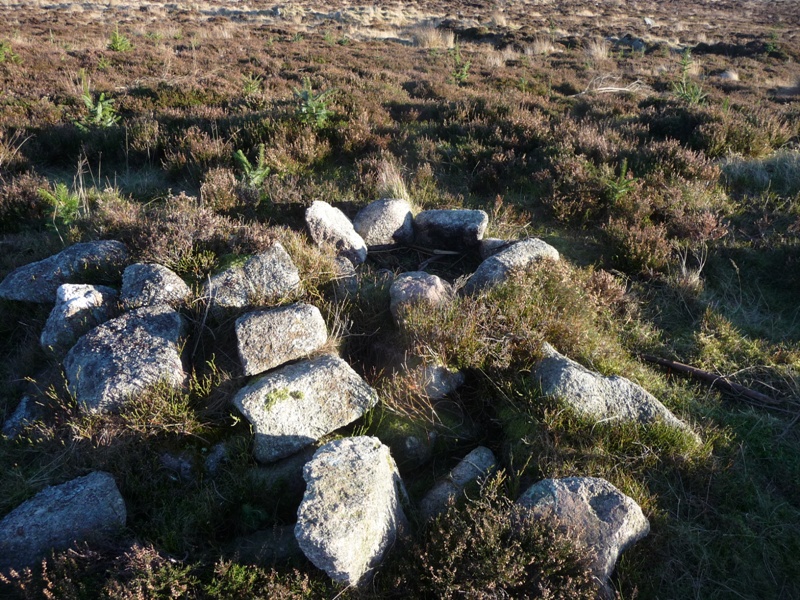
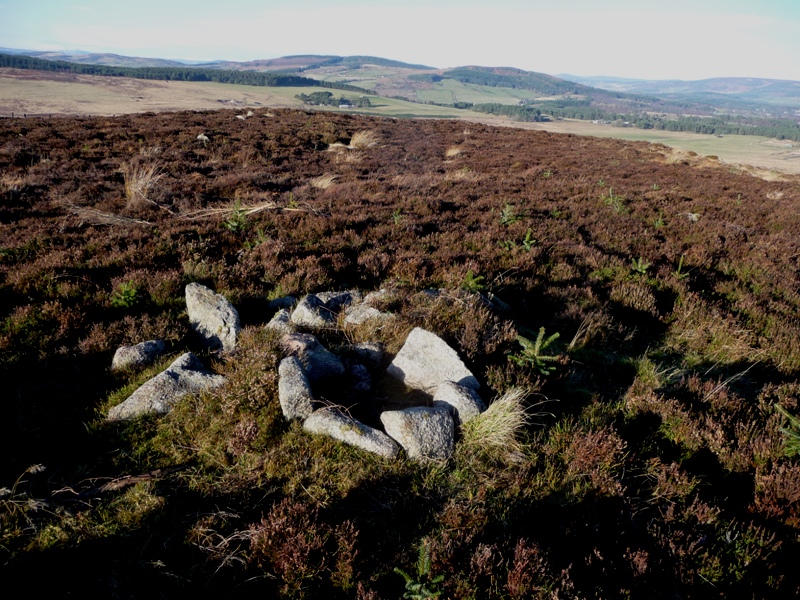
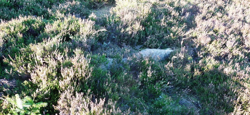
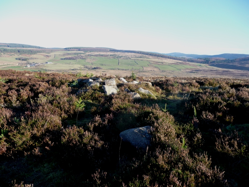
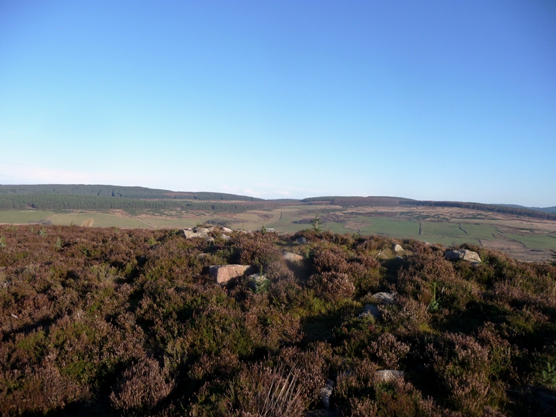
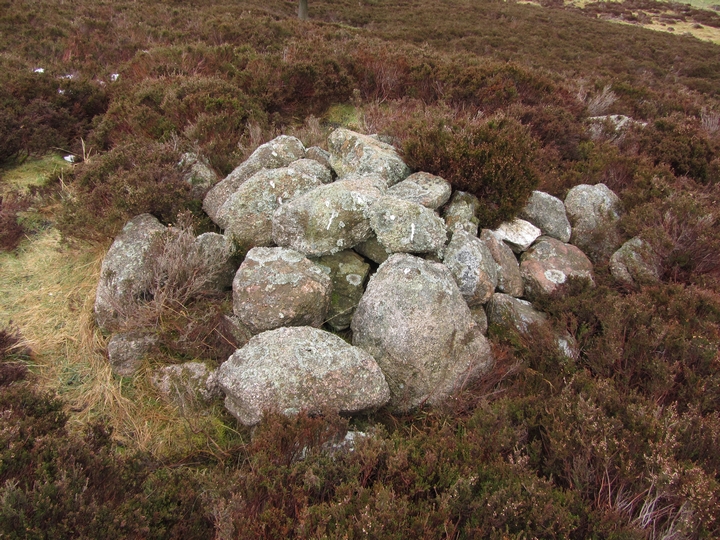
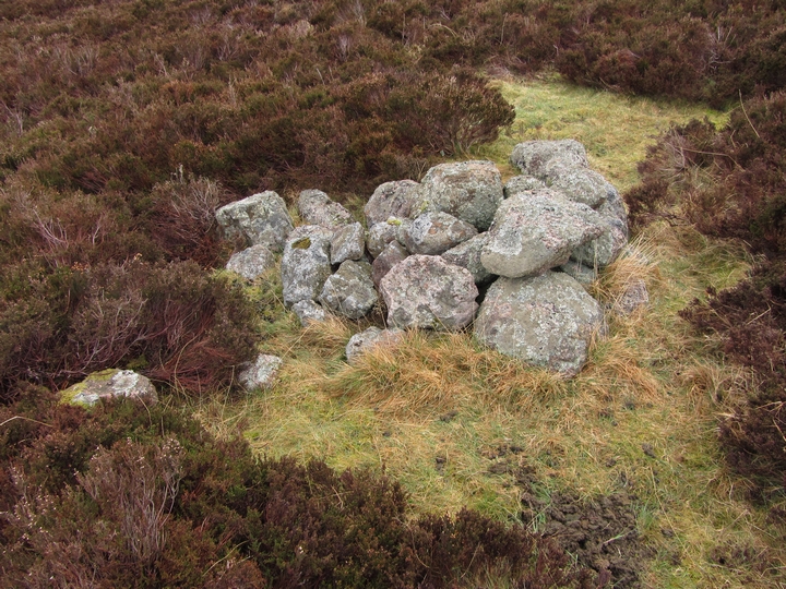
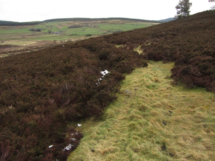
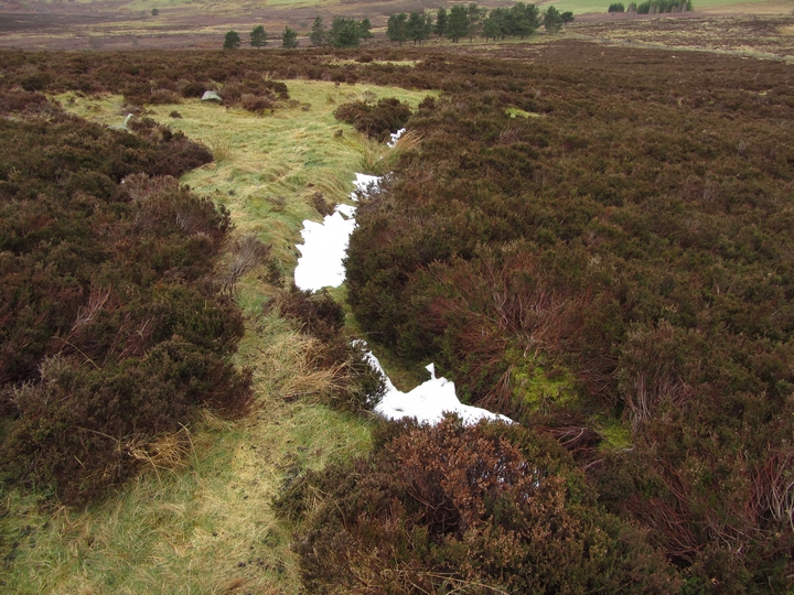
21/01/2012 revisited 07/04/2012 - Parked car at NO 69929164 and headed south on the old drove road the Stock Mounth. We set out to look for a possible ring cairn on top of Blarourie Hill (no luck) and hut circles (found but not very exciting). On the way up Blarourie Hill we came across this circular enclosure (centered on NO 70255 90252). The enclosure wall is made of stones with a small trench on the inside. It is about 50m in diameter with a small cairn right in the middle. There are at least another 3 enclosures nearby, one of which also has a cairn in the middle. They are hard to make out on photos but can be seen quite well on aerial photos on Google.
Take the first minor road heading east, signposted Stonehaven, on the B974 just south of Strachan. (Cairn O Mount road) I parked at the small car park at the Knockburn Activity centre opposite Knockhill Cottage.
From here head south past the airport for models/drones, past the quarry, until the way south is blocked by a closed gate. From here head east again, go over another gate following the track as it veers south west and uphill. Worth having a look at various hut circles and enclosures near the track. (as mentioned by Thelonius) Just before this track ends go a small distance north to the top of Blarourie Hill.
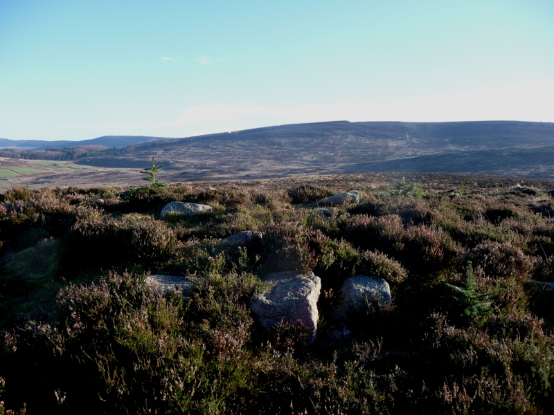
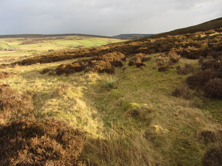
After spending some time clearing branches and site became clearly visible. At least 7 earthfast stones remain in the ring and a cist of sorts remains in the middle. Sadly people have also used this as a place to have a fire. The width of the site would be 8m plus, being about 0.5m high. Superb views from this site. Mulloch, Shampher, Buchaarn, Tillygarmond and the mountains to west are all clearly visible. The shoulder of Little Kerloch can be seen to the south west, the neighbour of its much larger relative Kerloch.

 Posted by thelonious