|
|

|
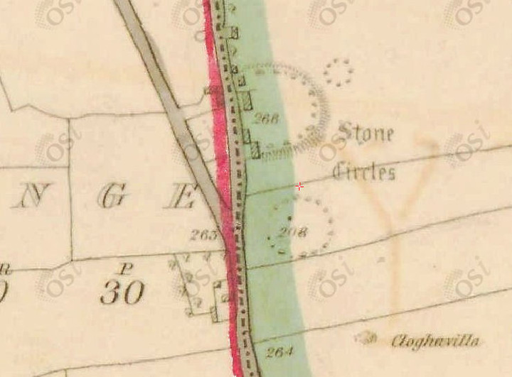
Grange / Lios, Lough GurStone Circle
|


|
|
Posted by bawn79 15th July 2011ce Edited 9th December 2015ce |
NB: Unless otherwise stated, this image is protected under the copyright of the original poster and may not be re-used without permission. |
Comments (0) |
|
| You must be logged in to add a comment | |