|
|

|
Bushy BarrowRound Barrow(s) (Destroyed)
|


|
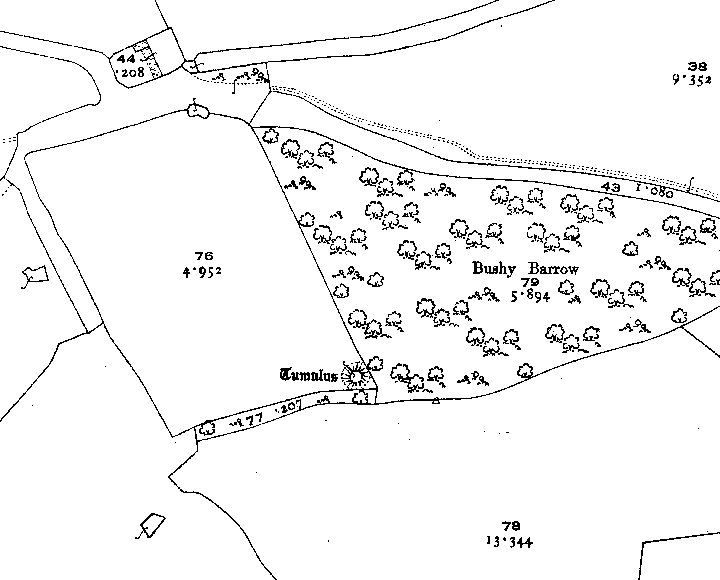
 Image Credit: Ordnance Survey
Posted by Chance 21st January 2011ce Edited 21st January 2011ce |
NB: Unless otherwise stated, this image is protected under the copyright of the original poster and may not be re-used without permission. |
Comments (0) |
|
| You must be logged in to add a comment | |