|
|

|
thesweetcheat’s TMA Blog |
|
"The Rhondda Stonehenge?" Yeah, right - Mynydd y Gelli
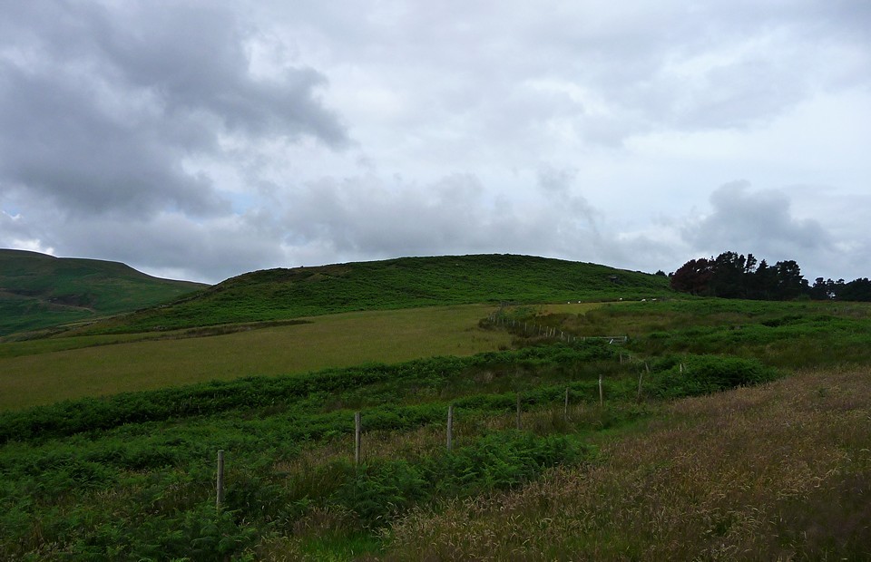
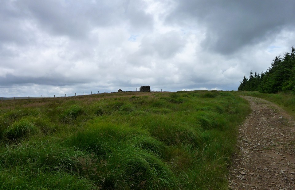
| 17 July 2010. Stone-circling continues to exercise its grip, but the Welsh hills are calling too. Burl's book mentions a single Glamorgan circle, at Mynydd y Gelli. This is situated in the heart of the Valleys, the hilly, industrialised landscape lying between the Brecon Beacons and the Bristol Channel. Unlike much of England, many of the railway branch lines and local stations have remained open, making a horseshoe walking route starting at one station and finishing at another possible. So I take the train to Pentre, one of many ex-mining towns that fill the Rhondda Valley. Needless to say, a heavy downpour greets my arrival, but is gone just as quickly. I take a bridleway west from the town, climbing swiftly up into a landscape of wet bracken and open hills. Maindy Camp — Fieldnotes21.09.10ceMaendy Camp comes into view pretty soon once the path levels out. It makes use of a natural knoll, with the ground dropping away on north and south sides. The Clydach Forest dominates the hills across the valley to the south. Rounding the south-eastern corner of the fort, the rubble construction of the bank is exposed. The interior on the east side is buried under a liberal growth of bracken, making is pointless to try and investigate from this direction. However, the bracken thins out on the west side and it's easier to gain access here. A low, grass-covered bank cuts across the middle of the site. This is the "inner" rampart, which forms the boundary of a smaller enclosure occupying the northeast part of the camp. The outer rampart is more obviously of rubble construction, particularly apparent along the northern section. Maindy Camp — Images10.08.10ce
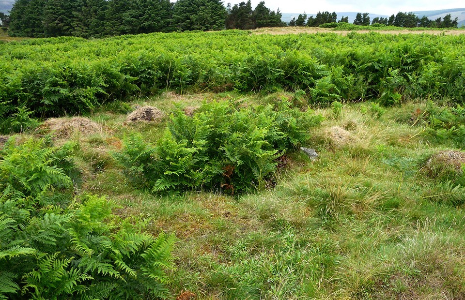
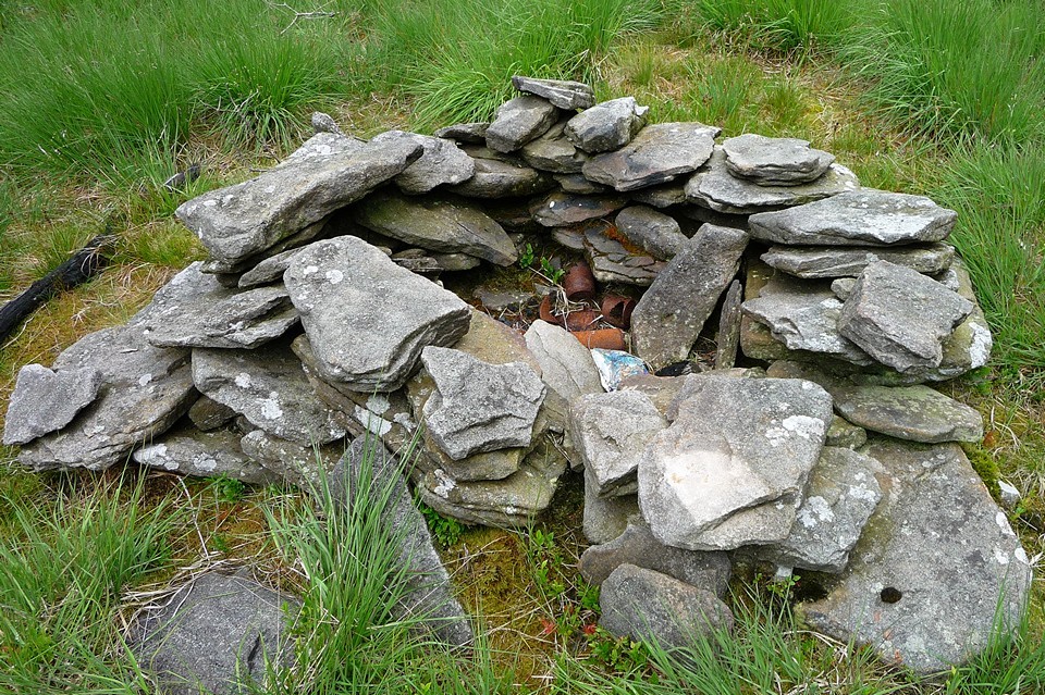
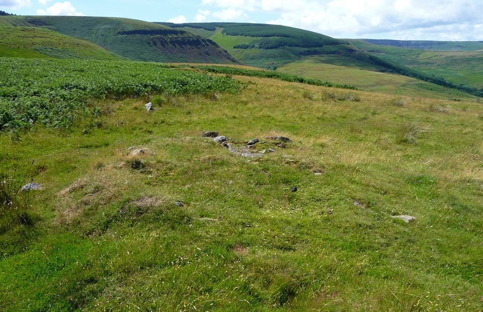
Maindy Cairn — Fieldnotes21.09.10ceIn the middle of the open interior, positioned outside and to the southwest of the inner enclosure, are the remains of a badly damaged cairn. A low mound with a few protruding stones can be discerned, around a central pit resulting from excavation. A bronze dagger and some flints were found when the cairn was originally excavated, but there's little to see now. Maindy Cairn — Images10.08.10ce
Maindy Camp — Images10.08.10ce
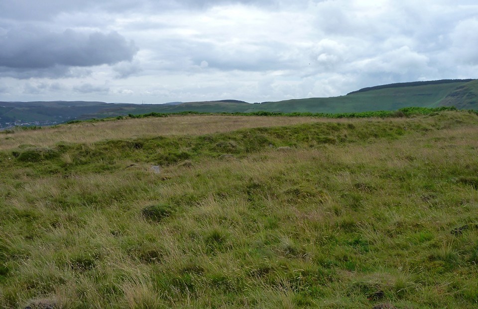
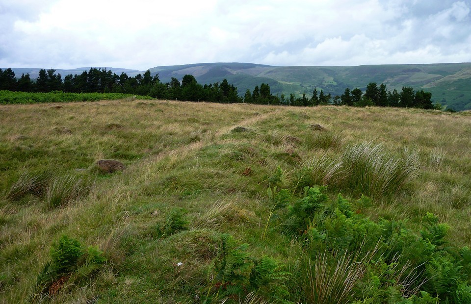
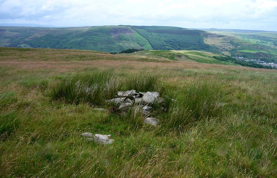
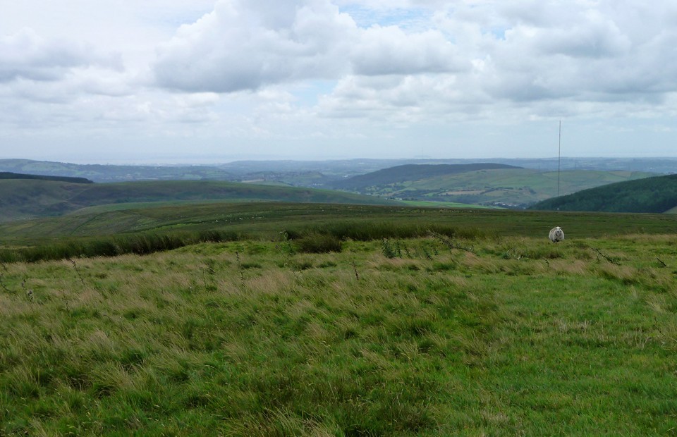
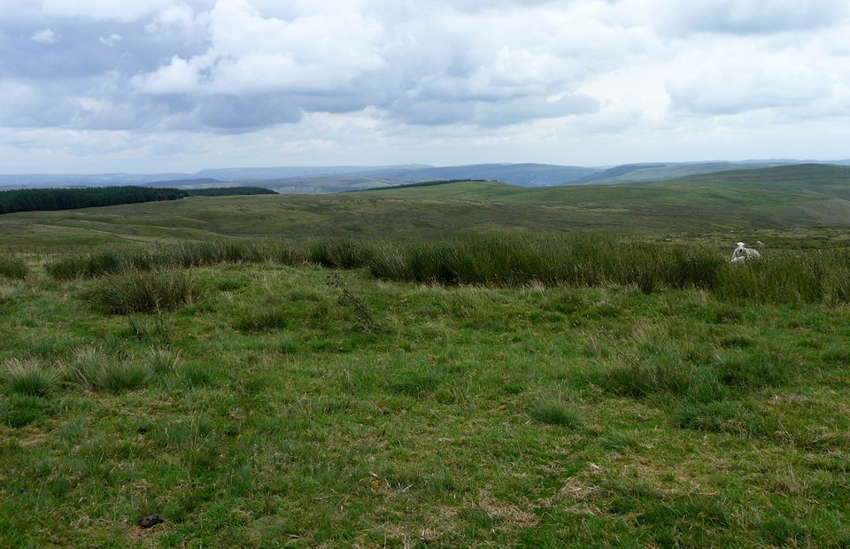
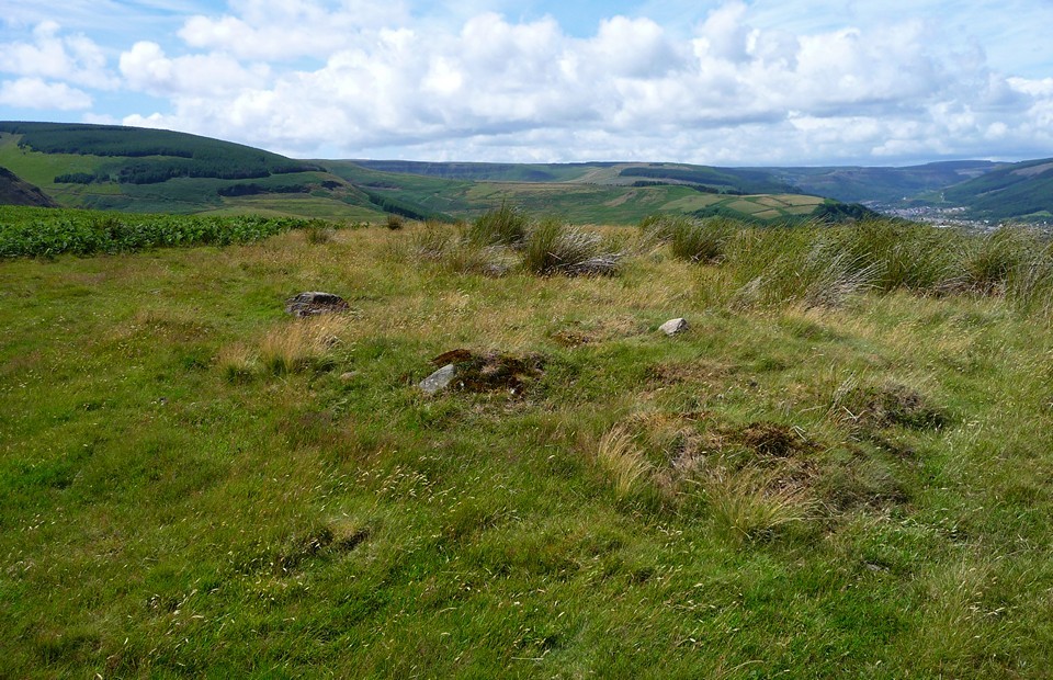
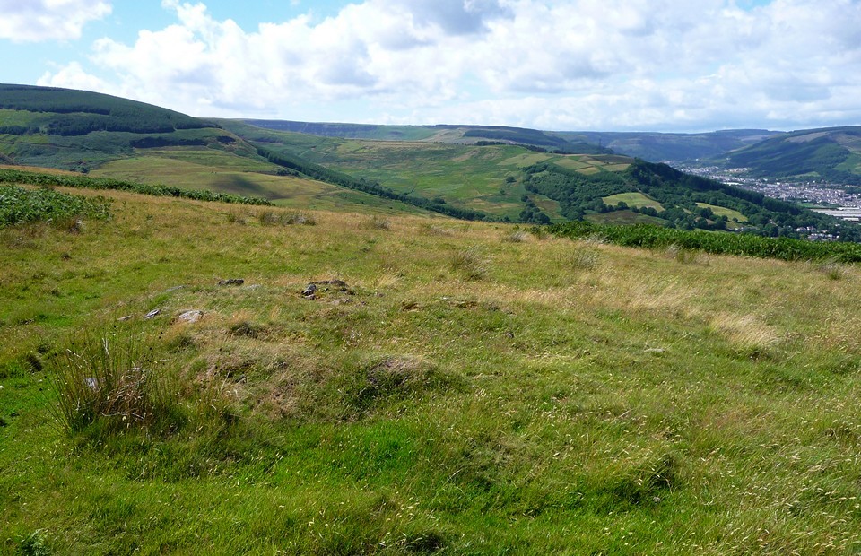
Cwm Ian — Fieldnotes21.09.10ceI rejoin the bridleway and continue southwest. The ground climbs steadily now, then sharply, before levelling again to a crest just above the 450m mark. At the edge of this little plateau, the OS marks a further cairn. The views to the east over the Rhondda Valley and back to Maendy Camp have now opened up, and to the north the tops of the central Beacons, Corn Du, Pen y Fan and Cribyn are now visible. It takes me a while to find the cairn, supposedly a ring cairn. In the end, all that appears to be left is a pile of stones. There's no obvious mound or ring at all and the pile itself is shapeless. Still, a good place to stop and enjoy the views, before the pull up to the top of the hill. Cwm Ian — Images10.08.10ce
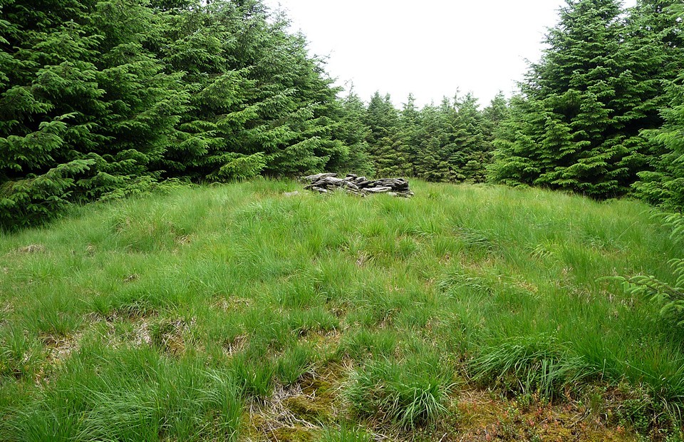
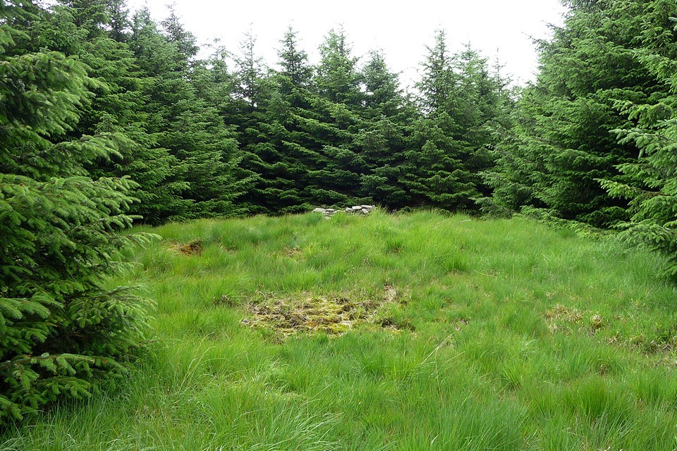
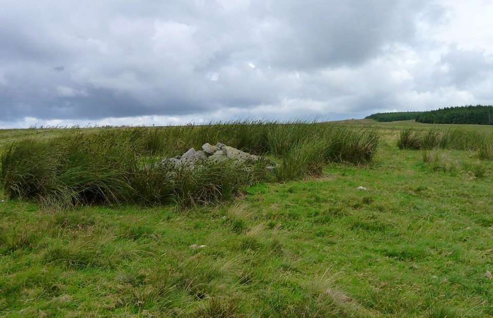
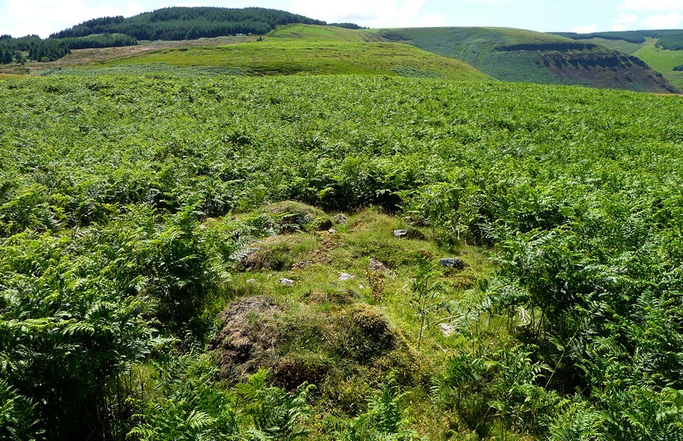
Once at the boggy, waterlogged top, there are excellent views to the north, taking in much of the Brecon Beacons range from Fan Hir and Fan Gyhirych to Allt Lywd. Nearer at hand a couple of miles to the northwest, the massive cairn of Crug yr Afan is visible at the edge of the trees. I head southeast, towards the forest that covers Mynydd Ton. Mynydd Ton — Fieldnotes21.09.10ceThere are two summit cairns marked on the OS, both within the 535m contour on the very top of the hill where they would have commanded extensive views in all directions. No longer, however. Mynydd Ton ("Wasteland Mountain") is now cloaked in dense conifer forest, and the summit is no longer open to the elements (it is still open to walkers though). A forestry track takes me along the edge of the forest, before another heads off in a northeasterly direction into the trees. (Note for anyone wishing to come here - this track is not shown on the OS 1:25000, but it follows an old line of fence posts which are marked.) After about 100yds, a green strip of grass has been cleared through the trees on the south of the path. At the end of this strip is the first of the two summit cairns. A large mound still exists, marked with a small cairn of stones that covers evidence of burning, rusty cans, and so on. Originally a central cist was found, but there's no visible evidence of this now. I head off along the northeasterly path again. It, and the fence post line, take a sharp turn to the southeast. In theory there is an OS trig point here, another relic of a time before the trees. This trig would point me on the way to the second cairn. Unfortunately, the trees have formed an impenetrable barrier, within which is darkness and no way through. I carry on along the path until it meets another running north-south, hoping to find a way in from that side instead. But it's the same there too. So, I admit defeat. Perhaps at another time of year a way in can be found, or it may be that a way in from the north is possible (I didn't look in that direction). Mynydd Ton — Images10.08.10ce
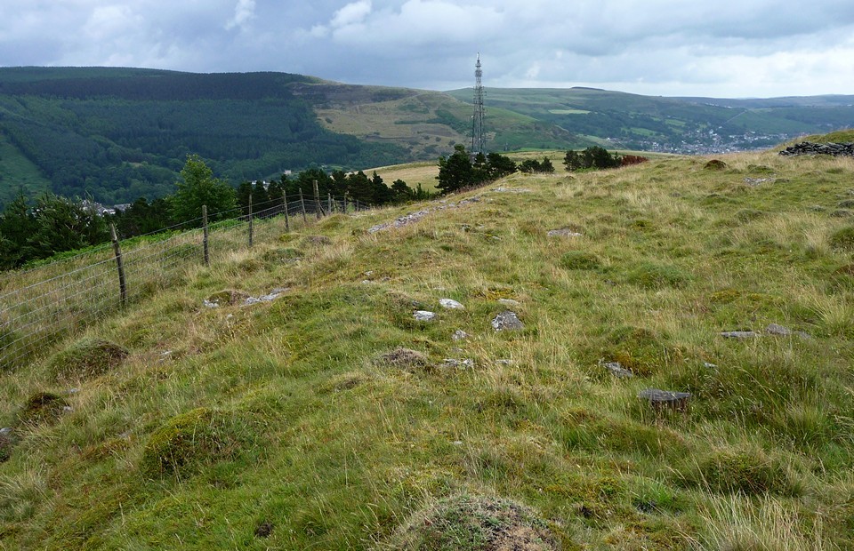
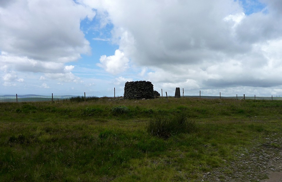
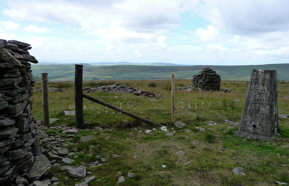
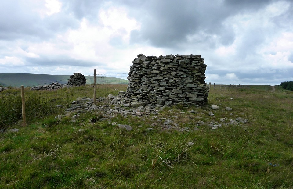
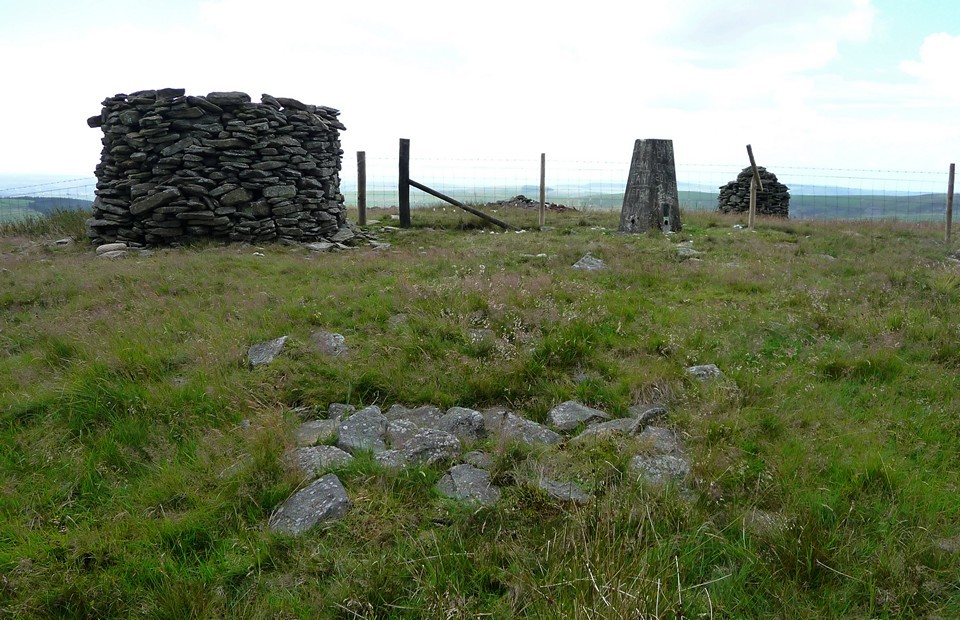
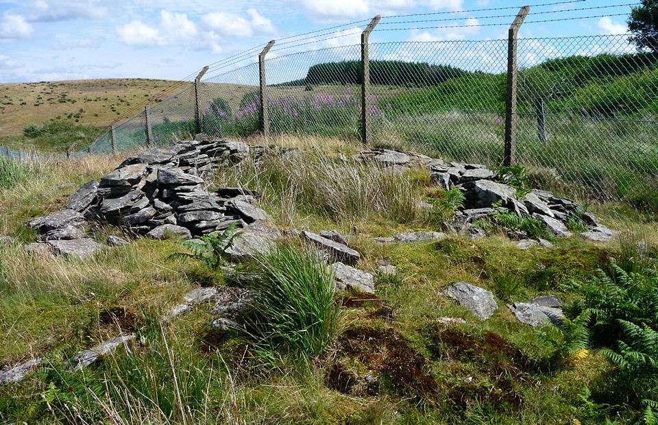
Garn Fawr (Ogmore Valley) — Fieldnotes21.09.10ceBack onto forestry paths, this time heading south towards the biggest of today's cairns, Garn Fawr (erm, "Big Cairn"). According to Coflein, the cairn has a diameter of almost 19m. Unfortunately it's completely trashed. An OS trig pillar has been erected on the top, but that's the least of the problems. There are several walkers cairns and a big (6ft tall) cylinder of stone, all of which have been constructed from material robbed from this once magnificent cairn. Very little remains now to tell you that there even was a cairn here. There is some evidence of original rubble construction at ground level, but little else. Garn Fawr (Ogmore Valley) — Images10.08.10ce
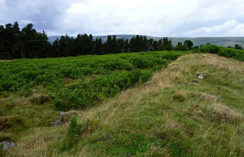
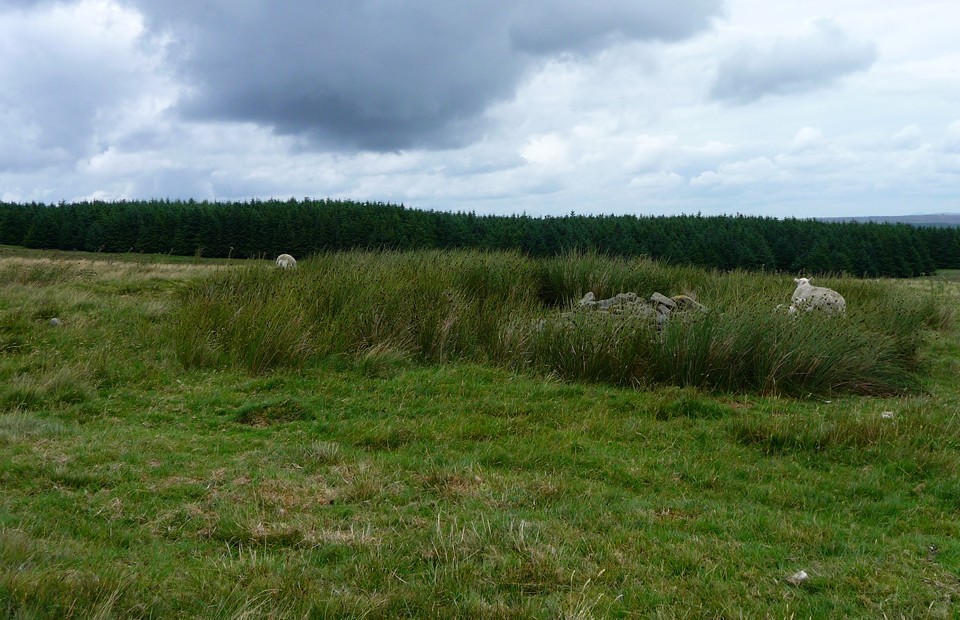
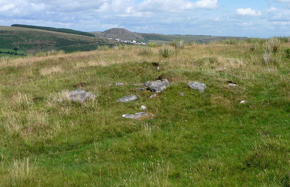
Garn Fach (Ogmore Valley) — Fieldnotes21.09.10ceSo I carry on along the forestry tracks, to where a footpath leaves the access land and heads SSW to Garn Fawr's companion, Garn Fach (erm, "Small Cairn"). Garn Fach has fared slightly better, but only slightly. It stands at less than 50cm tall, but its overall size is still discernable and the original mound can be seen still. Like most of today's sites, it is topped with a pile of stones. Garn Fawr is easily visible on the skyline to the north, while Swansea Bay can be seen to the south, as the ground slopes away. Garn Fach (Ogmore Valley) — Images10.08.10ce
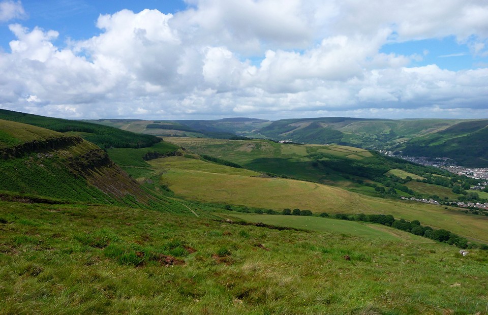
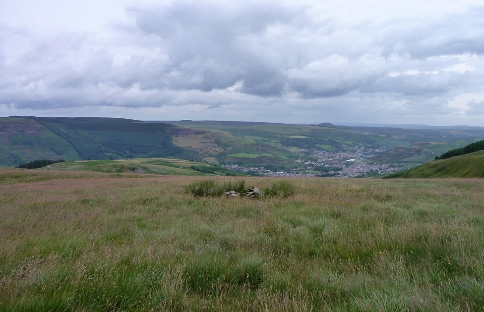
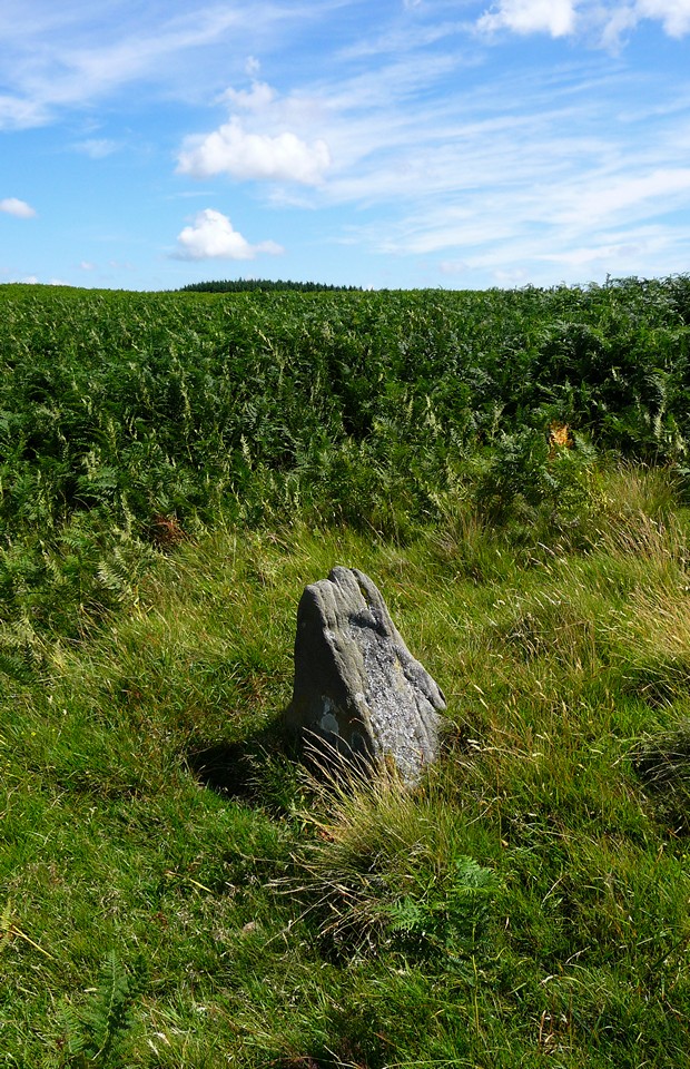
So all that remains for today is the, ahem, "show site". I head back into the trees and follow various waterlogged paths northwards. Eventually the path emerges above the steep-sided Cwm Cesig, where the Brecon Beacons once again fill the skyline to the north. Following the northern edge of Mynydd Bwllfa round to the east, Maendy Camp once more comes back into view, so I can see the route I've come laid out before me. Somewhere over to the east is Mynydd y Gelli – it doesn't look far now. Mynydd y Gelli — Fieldnotes21.09.10ceI'm pleased to see that the tips and landfill mentioned in previous fieldnotes are closed and are slowly being covered over by vegetation. The route takes a turn for the difficult, as I find myself having to cross a steep cwm (and a rusty barbed wire fence) in order to continue eastwards, but eventually I'm up on the plateau of Mynydd y Gelli ("Mountain of the Grove" or "Wooded Mountain") itself. I know roughly what I'm looking for, from the links posted on TMA and from the Burl description. The sun is now beaming down on beautiful afternoon. And so I dutifully wander backwards and forwards across the plateau. And backwards and forwards. And backwards and forwards… There are plenty of low clearance cairns in evidence, but I'm not convinced that any of them fit the description of the ring cairn. I spend about an hour wandering across the area and I'm still not convinced. Maybe it's lost in the bracken? I have an idea that it's quite close to the lip of the hillside, but that doesn't help. Eventually I give up. I should mention that a nice easy footpath heads east from the plateau, until you hit the access road for the old tip. Then, it crosses into an area of quarrying and appears to disappear over a cliff. So I waste even more time trying to get back down off the hillside into the town (so close, yet so far). Finally I scramble down through deep vegetation, hoping not to break an ankle in the process. Gah! No idea how to get back up here if I decide to pay a return visit from this direction. I finish up eventually back at Ystrad station, and head back to Cardiff. Rhondda Stonehenge? An over-enthusiastic billing if ever there was one. [Post-visit note: A closer inspection of Coflein on my return suggests that the ring cairn itself is slightly further west than my wanderings, and nearer the tall chain link fence. The "cairns" marked on the OS map – which was mainly where I was looking – do not include the ring cairn. I would advise anyone going to look for this to take a print of the Coflein map at a large scale, rather than trusting to the 1:25000 OS map alone.] Mynydd y Gelli — Images10.08.10ce
|
 Posted by thesweetcheat
21st September 2010ce Edited 4th August 2013ce
thesweetcheat's TMA Blog
Latest TMA Blog Posts
|
Comments (0) |
|
| You must be logged in to add a comment | |