|
|

|
thesweetcheat’s TMA Blog |
|
To be in England, in the summertime, with my love (3) St Mary's
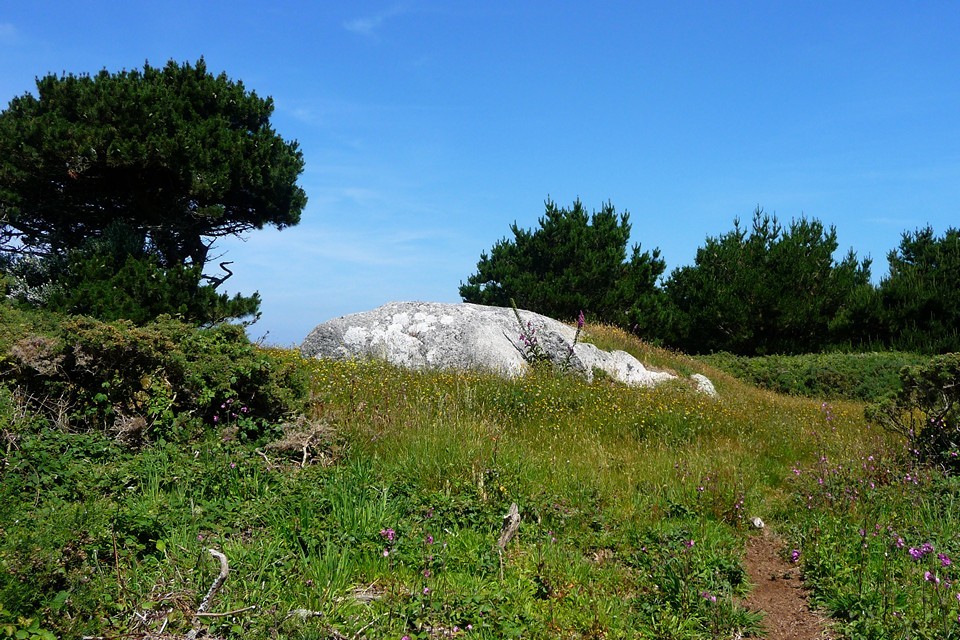
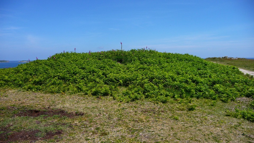
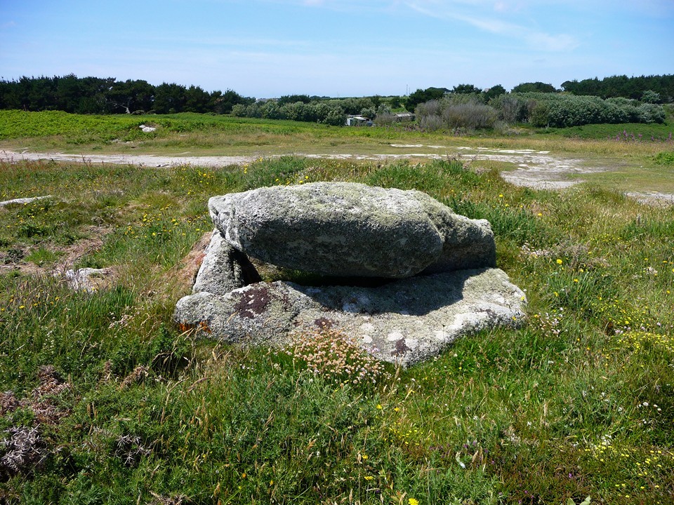
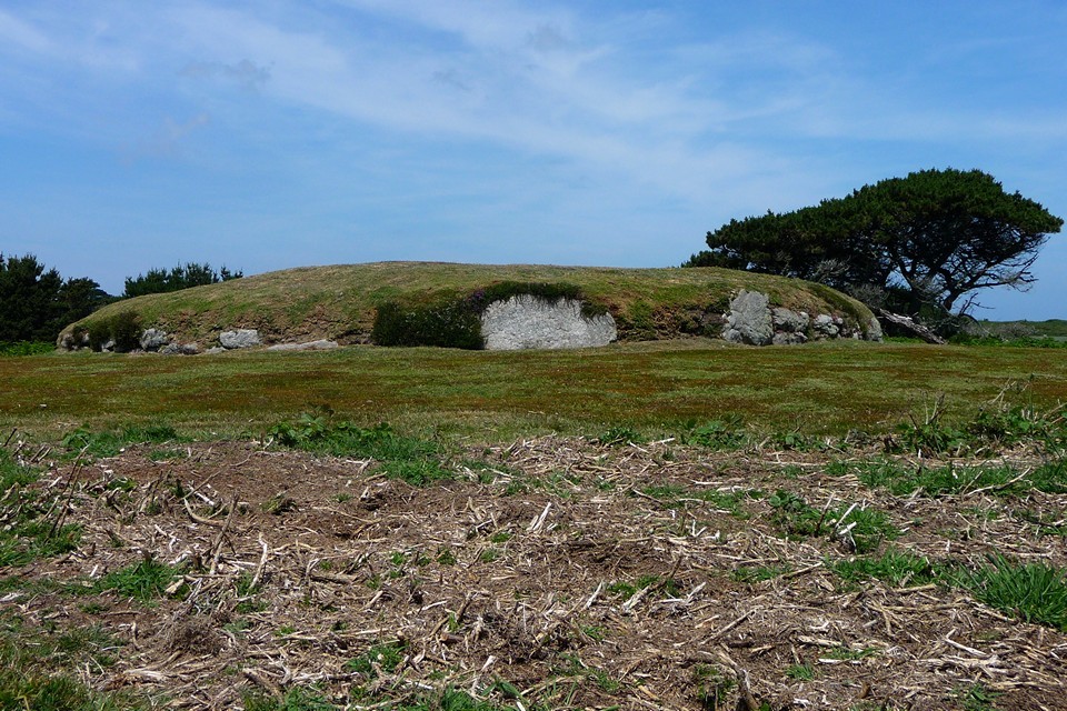
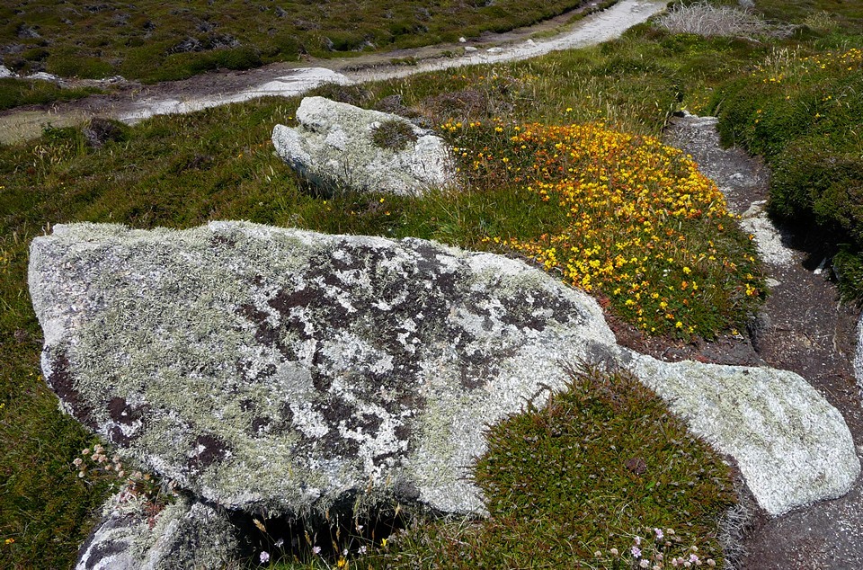
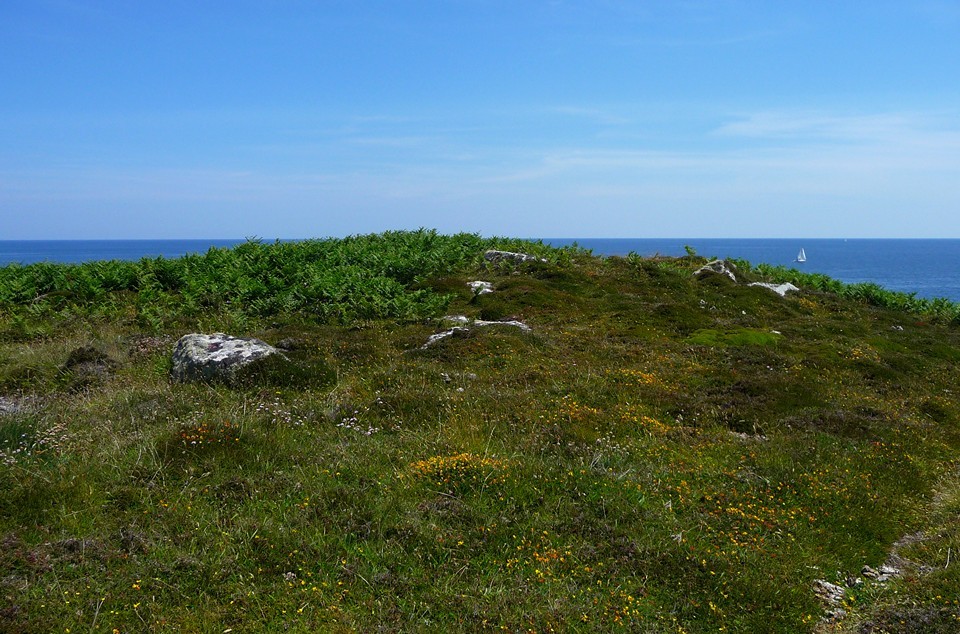
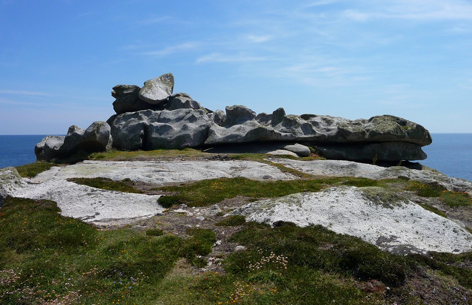
| 22 June 2010. And still the perfect weather continues unabated, so we decide on a second Scillonian trip of the holiday, this time confining ourselves to the largest island, St Mary's. We came to the island for the first time a year ago, and visited the places mentioned in Craig Weatherhill's "Cornovia". This time we will visit some of the lesser-known sites. The Scillonian III docks at St Mary's harbour, where passengers spill onto the quayside. Those who aren't off to other islands wander off towards the teashops and ice-cream parlours of Hugh Town, or to hire bikes and explore further afield. We head east through the town, out along one of the island's "main roads", which in reality are shady green lanes with little traffic. Mount Todden — Fieldnotes06.09.10ceOur first stop of an already hot day is the cairn at Mount Todden. At first sight, this large barrow could easily be dismissed as a natural boulder outcrop, as the western side of the barrow is exactly that. However, a couple of long slabs, similar to the ones that roof many of the island's chambered tombs, can be seen on the east side and may mark the remains of a cist or chamber. Mount Todden — Images23.07.10ce
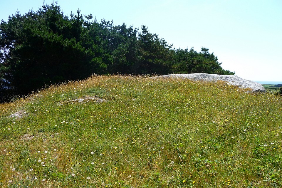
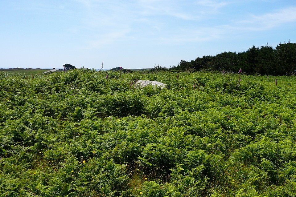
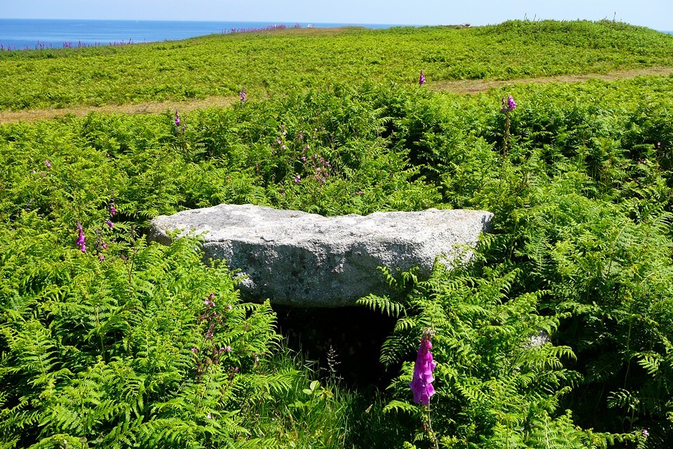
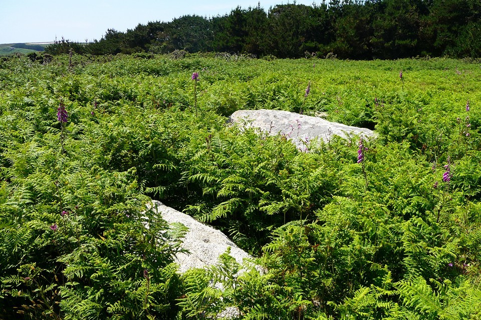
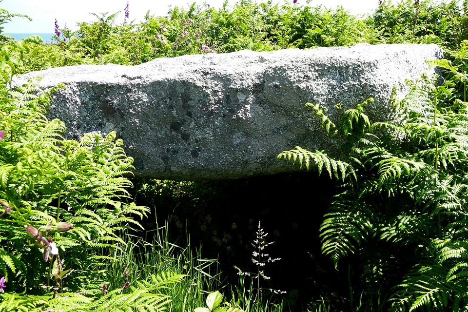
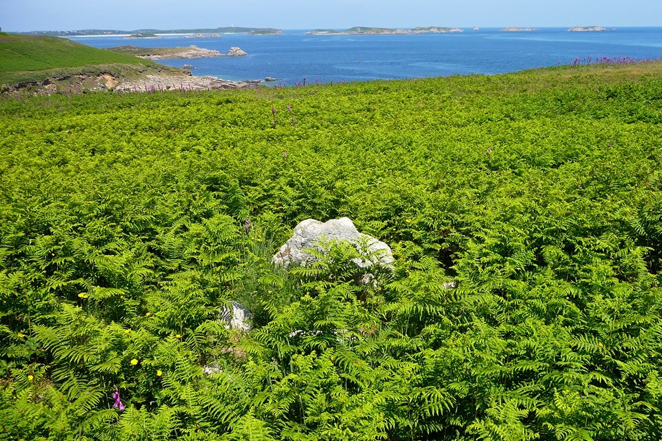
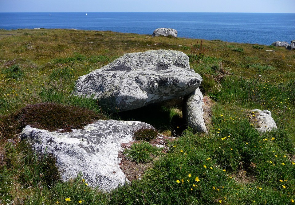
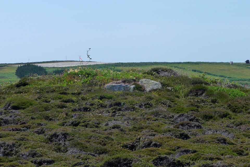
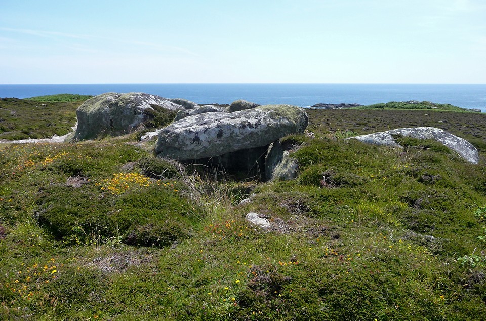
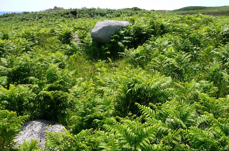
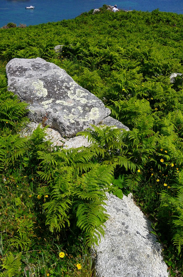
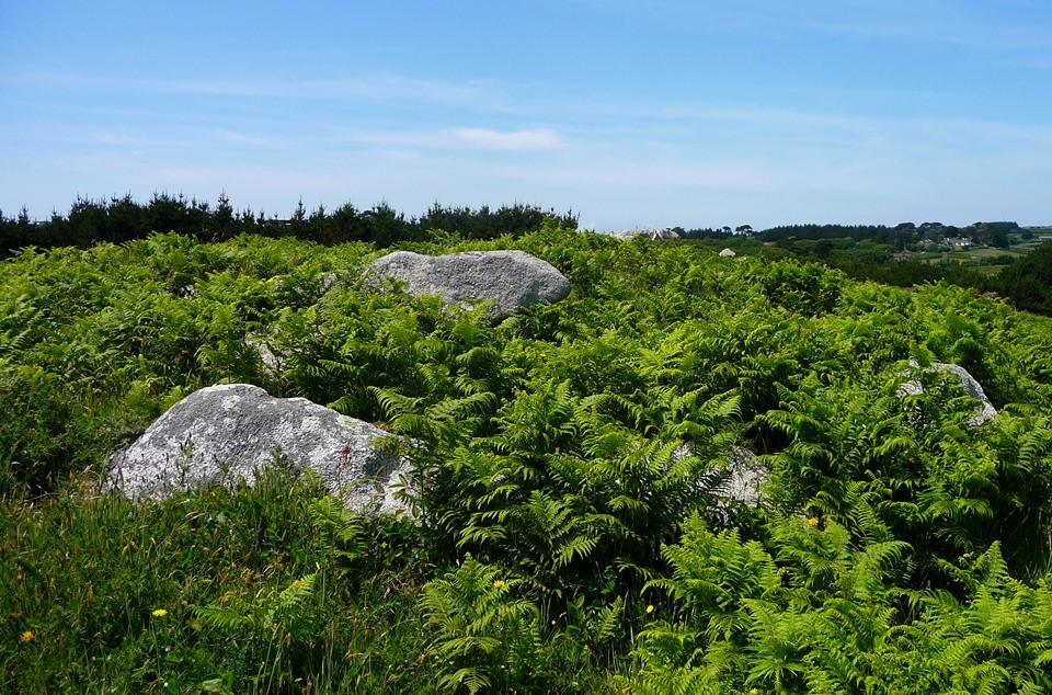
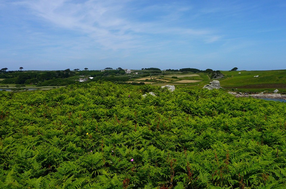
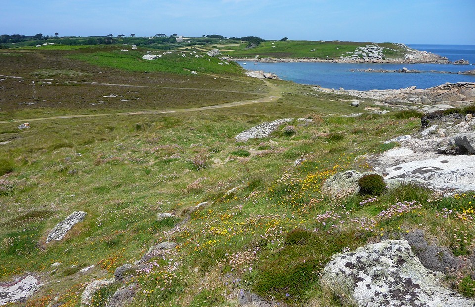
Emerging from the trees around the cairn, Mount Todden battery and the beautiful coastline come into view. The battery dates from the Civil War period but could almost be a prehistoric construct, a squat square building of granite slabs and lintels. A riot of foxgloves set the scene off perfectly. The coast path now takes us south, with the gentle climb up to Normandy Down ahead of us. Normandy Down — Fieldnotes06.09.10ceThe ridge is surmounted by a number of chambered tombs, in varying degrees of preservation. There's a heavy covering of bracken over the mounds at this time of year, but the general shape and form can still be seen. We have a poke about on the top of 'A', the most westerly of the three primary tombs that remain. This reveals one in-situ capstone, as well as another slab that presumably formed part of the chamber's roof. 'B' is another large mound, but the chamber is badly ruined with only a couple of uprights to be seen. 'D' on the other hand is great, with a well-preserved kerb and a largely intact chamber covered by a very thick, square slab. This is a beautiful spot, with views across Crow Sound to St Martin's and south to Porth Hellick, also dotted with chambered tombs and our next destination. Normandy Down — Images23.07.10ce
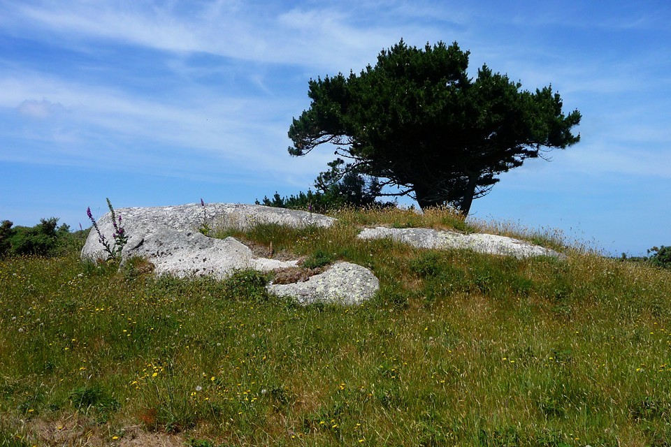
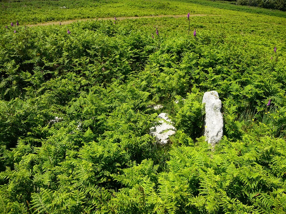
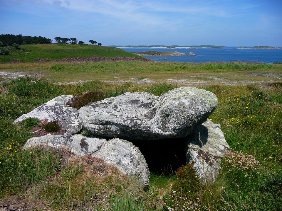
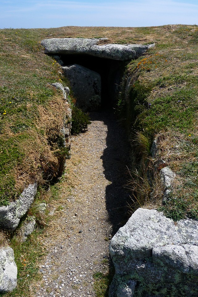
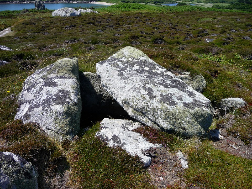
Porth Hellick Downs — Fieldnotes06.09.10ceThe "Great Tomb" is a huge, reconstructed circular passage grave, which includes an unusual blocking-slab separating the roofless passage from the central chamber itself. From here many of the other chambered tombs on the Down can be seen, as can the Deep Point tombs on the headland to the north. All these tombs are thought to be part of a Bronze Age continuation of a chambered tomb style that begun during the Neolithic, on the mainland in West Penwith. Whether they actually pre- or post-date similar mainland tombs, the Scillonian ones are preserved in much greater numbers, usually in concentrations like this (or at least pairs). All in all, this makes for a hugely rewarding place for the stonehead to visit, particularly when coupled with such lovely surroundings. We confine ourselves to a few of the more obvious tombs ('B', 'C', 'E' and 'G' are all well worth a look) before we head off the Down. The Great Tomb on Porth Hellick Down — Images25.07.10ce
Porth Hellick Downs — Images25.07.10ce
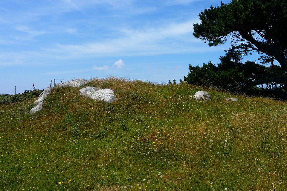
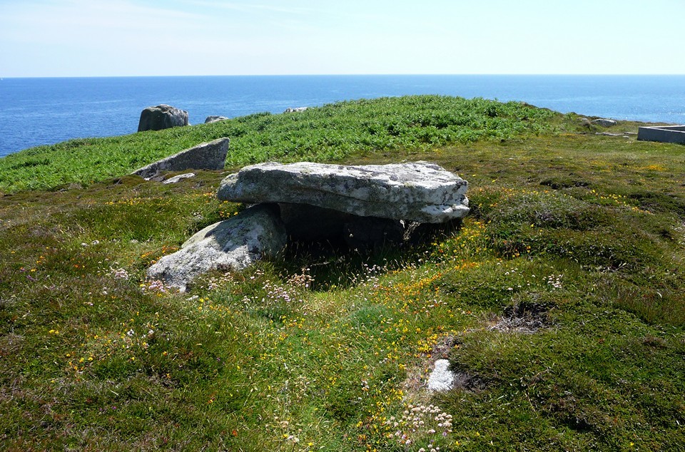
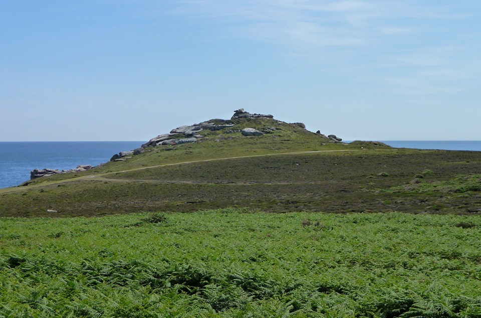
Passing the beach at Porth Hellick (a nice quiet stretch of sand), we pause to have a look at the monument to Admiral Cloudesley Shovel, drowned with all hands on the British flagship near here in 1707. Three other ships of the fleet were also wrecked, in one of the worst British maritime disasters ever. Hard to believe on such a calm and sunlit day that the seas around could be so dangerous. Salakee Down — Fieldnotes06.09.10ceNext up we reach Salakee Down. The tombs here are much harder to see, being covered in deep bracken. I bumble about on top of one, finding a very long capstone still roughly in place, together with a decent kerb. G/F doesn't share my enthusiasm and carries on along the coast path – very wise. What I do get from here is a great view of Giant's Castle, with its concentric lines of ramparts. We head there next. Salakee Down — Images25.07.10ce
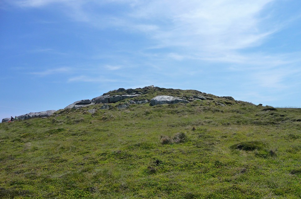
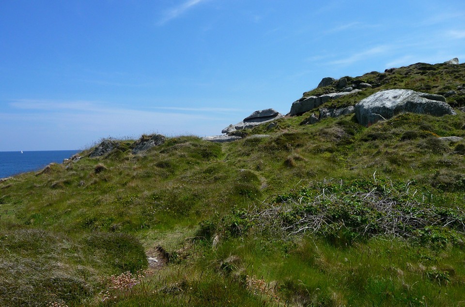
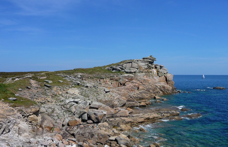
Giant's Castle — Fieldnotes06.09.10ceIt's an odd sort of a fort, this. There are several (at least four) low lines of "defence" that cut the rocky headland off from Salakee Down. There are quite closely spaced, not much room between each line. And the interior is a small, exposed space, climbing up to a rocky promontory that has been sculpted by the elements into fantastic shapes. It's hard to believe that this could have been big enough to warrant defending, let alone be possible to live inside. All of which may suggest status rather than practical defensive purpose. Still, I have fun clambering onto the topmost rocks, where a gusty wind does its best to send me back down again. At the base of the fort, the low mound of another battery can be seen, perhaps evidence that the real need for defence would come a millennium and a half after the Iron Age construct. Giant's Castle — Images25.07.10ce
We head off round Church Point at the end of the island's airstrip, suitably heeding the dire warnings about not crossing when lights are flashing – all nicely reinforced by the plane that takes off over our heads as we skirt the headland. Then it's a pleasant stroll round to the Old Town – Penninis Head lies before us, but we save this for a future visit and instead fortify ourselves with ice-cream before heading back to Hugh Town and the waiting ferry. |
 Posted by thesweetcheat
6th September 2010ce Edited 6th September 2010ce
thesweetcheat's TMA Blog
Latest TMA Blog Posts
|
Comments (0) |
|
| You must be logged in to add a comment | |