Ancient Village / Settlement / Misc. Earthwork
|
|
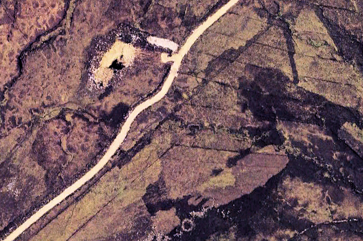 The hut shows up quite well in aerial images (bottom centre) and this should allow it to be identified on the ground quite easily. The scar beside the new road was the site of the Hanging Shaw long cairn, which was crushed to provide hardcore for it. This image was captured in 2006 and has been considerably stretched.
|
|
 Image Credit: www.davidaspinall.co.uk
Posted by StoneGloves
18th January 2010ce
Edited 18th January 2010ce |
NB: Unless otherwise stated, this image is protected under the copyright of the original poster and may not be re-used without permission.
|
|


