|
|

|
Cursuswalker’s TMA Blog |
|
Caburn Walker
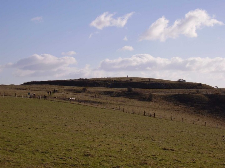
| For someone who has the word "walker" in his chosen name I haven't done much walking recently. So last Sunday I set off from my front door and walked to and from the summit of Mount Caburn, Lewes' pre-Roman counterpart. I haven't been up there since Lammas 2001, a whole world away in terms of life change. It was like saying hello to an old friend... Mount Caburn — Images03.03.06ce
Mount Caburn — Fieldnotes05.03.06ceMount Caburn means a lot to many people in the town of Lewes I think.
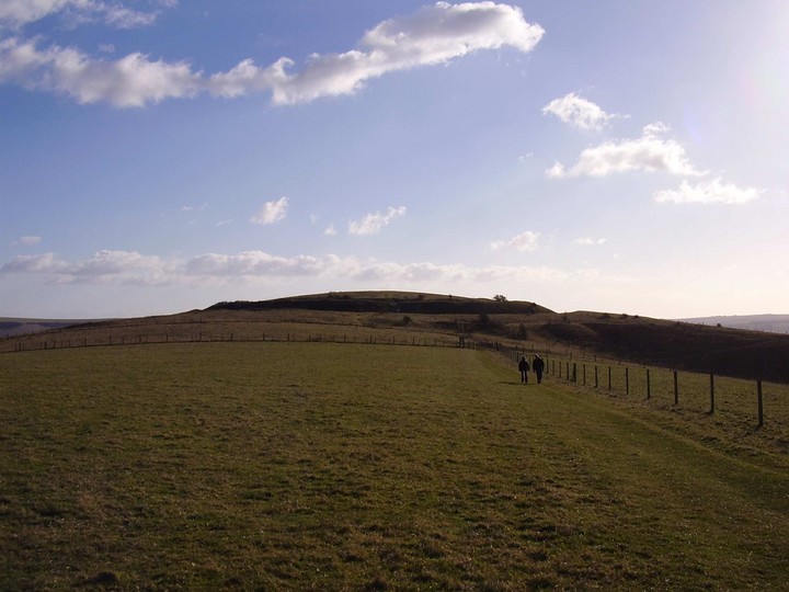
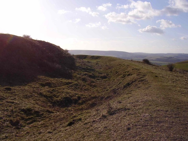
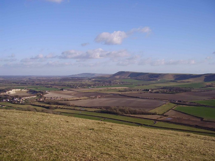
It was the nearest settlement of any size to the site that Lewes was eventually founded on by the Saxons and can be seen from much of the town. The skyline of the hill from the town means that the ditch and bank of the fort seems to cut it off from the rest of the ridge on which it stands. The hill the fort was built upon is fairly distinctive anyway, being a dome with broad slopes sweeping down from it to the south, while it seems almost to be the head of a giant downland animal, the rest of the downland ridge that it forms part of trailing behind the hill to the north. This ridge is the only block of the South Downs that is not a part of the main ridge along which the South Downs Way runs, having been cut off from it by the Glynde Reach river, that you will see joining the river Ouse to the south west. When you approach the fort from the north the ditch and bank are very prominent, but the part of the hill still inside the fort protrudes above it still, giving an impression of a round hat, or, one might say, a flattened Dalek's head! Once inside the fort one seems simply to be on a hill, as the whole ditch and bank becomes far less obvious. This is particularly true on the southern side, where the defences are far less spectacular. I have always been told this is because on this side any attacker would have had quite a climb first. I'm not entirely convinced though, as this does not take account of attackers circling from the northern side. For me, the steep hill suggests some erosion of the defences on this side, though I have no evidence for this either way. In any case the view is very impressive for a hill that is not actually that high (150m above sea-level), particularly of the downland ridge to the south. Firle Beacon and Windover Hill, home to the Long Man of Wilmington, can also be seen to the south east. |
 Posted by Cursuswalker
3rd March 2006ce Cursuswalker's TMA Blog
Latest TMA Blog Posts
|
Comments (0) |
|
| You must be logged in to add a comment | |