|
|

|
greywether’s TMA Blog |
|
One and a half day returns to Lanarkshire.
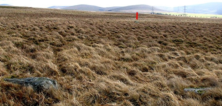
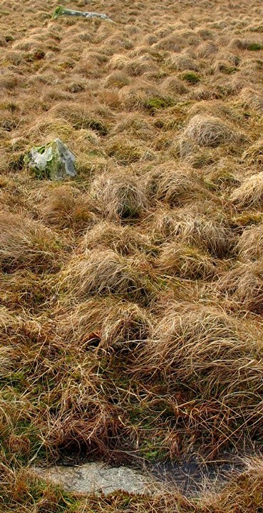
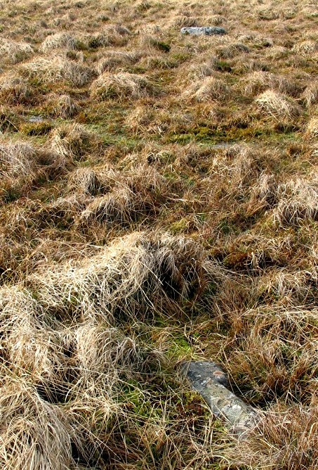
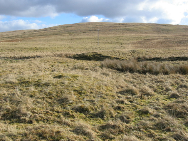
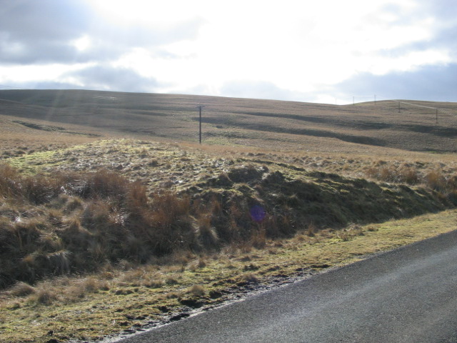
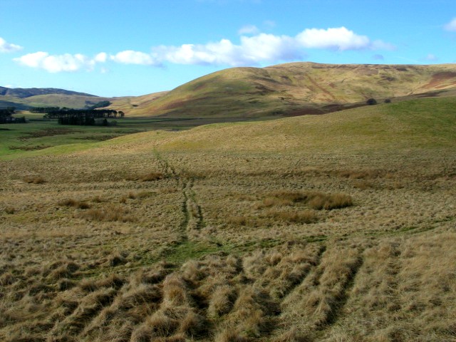
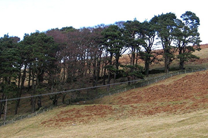
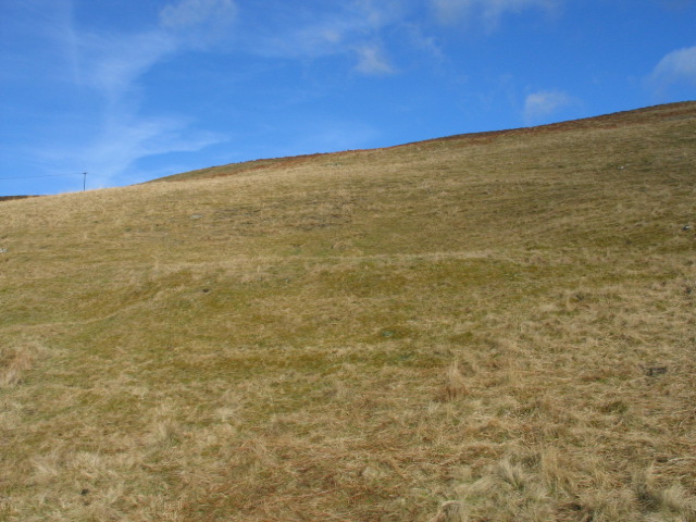
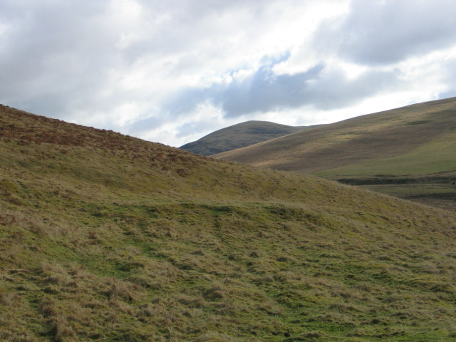
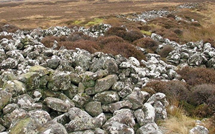
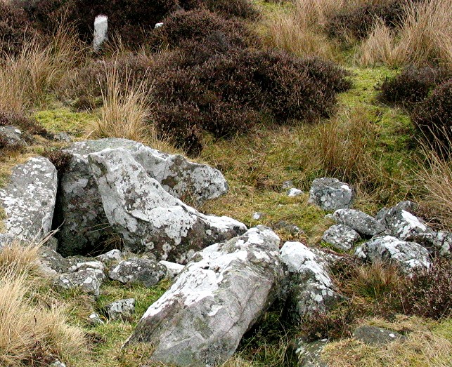
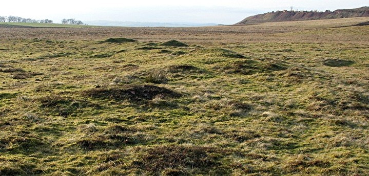
| It's early February, the sun is shining, the temperature is in double figures but, most importantly, this is the first time I've been fit enough to get out in the field since mid-October last year. Let freedom ring! (Yes, I am a little late and out of sequence with this posting!) It is also the first real opportunity I've had to try out the new digital camera. Don't worry – I'm not going to go into all its technical details except to say that it's black which is the colour all cameras should be. So where have I chosen to go to mark this occasion? Lanarkshire. Yes that big white space on the map browser. The bit many TMA-users may have driven through without stopping on the way to the Perthshire sites or maybe Kilmartin. And yet there is a great deal of interest in Lanarkshire. Much of it, I will admit, is not very photogenic. A lot of it is not even megalithic. But put it all together and you have evidence of a considerable amount of prehistoric activity in the area – including sites which deserve to be better known. You can, for example, see evidence of Bronze Age settlement. There are two burial sites which have produced examples of so-called "passage grave art". There are two henges. And there is an enigmatic ceremonial enclosure which, if it were in Wessex or Orkney, would generate a great deal of interest and speculation. I'd been to many of these sites before but either had no pictures or not very good ones. The excellent weather and my new gizmo were great excuses to go back. 11 February 2004 Sites near the road today and just a half day's outing. First stop is the stone circle at Wildshaw Burn. This is the only site in Lanarkshire which, until now, appeared on TMA – but without any comments or photos - just a dot on the map. It's actually quite close to the M74 and, as I stood at the site, I idly wondered if any TMA-user had slowed down as they passed it hoping to catch a glimpse of the stones. If they had, they were wasting their time. The stones are there, all right, but they are largely just below the surface which is why the circle was not discovered until 1990. It's the sort of site you have to go to with a bunch of mates who stand where the stones are pretending to be ranging poles allowing you to take pictures which give some idea of the size and importance of the site. As I had no post-impressionists with me, a lot of imagination and mental reconstruction was necessary – as will be obvious from the photos. The next stop is a trio of sites at Normangill Rig near Crawford. The first of these, Normangill henge, certainly satisfies my "near the road" criterion. In fact, the road runs right through it! (The other henge in Lanarkshire, which I have not yet visited, is Weston Henge at NT 030457.) Retracing my steps slightly, I then visited the probable Enclosed Cremation Cemetery (ECC) at Fall Hill and the Unenclosed Platform Settlement (UPS) sites at Normangill Rigg. ECCs are, I understand, rare in Scotland. A similar site in the Borders (Weird Law, NT 085235) has been excavated and produced a date of about 1500 bce. Fall Hill too has suffered from the "Normangill effect" – it has vehicle tracks running through the centre of it. It is rare to see any evidence of prehistoric settlement in the UK but UPS sites are found at a number of locations in the south of Scotland. Some have been excavated and show evidence of late bronze age timber houses. The ones visited today have not been excavated but are amongst the best preserved. The final stop on this short outing is to Hamilton Low Parks Museum (ML3 6BJ) to see, for the first time, the Ferniegar Cist – one of the sites which produced "passage grave" art. (The other, rather better, one is from the Wester Yardhouses cairn which was at NT 006504 and is now in the National Museum in Edinburgh.) There is not much to detain the prehistorian in this museum. The cist is there with its own display but it could have been better positioned to see the art. No photographs were allowed. Why not! This is a local museum with free entry paid for, presumably, by Council Tax and other taxation-funded grants. Frustrating but not enough to spoil what had been an excellent afternoon out. 12 February 2004 Full day out today. First stop, Green' s Moor near Carnwath. I did some of my Field Archaeology Certificate work here some 20 years ago and had not been back since. The place hasn't changed much. Within about a 1km square, you can visit a long cairn, a chambered tomb and the remains of what must have been a substantial bronze age cairn. There are lots of other cairns in the area – including one example of the accumulation of small cairns (around 3m diameter) which can be found in several parts of Lanarkshire and the Borders. I finally head for Blackshouse Burn - described in Canmore as "one of the strangest monuments in Lanarkshire", It's my first visit so I do not know what to expect. In 1890, the site was described as a "fort" despite its low-lying position and its insubstantial walls. A century later, the view had changed – it was thought to be "a large ritual enclosure" of Neolithic date. If it is, it stands alone amongst the known Neolithic monuments in the area – the two henges etc being some distance away. However a survey of the surrounding landscape and a geophysical survey of the interior carried out in 1999 did seem to lend support to the "ritual enclosure" theory. The evidence, such as it is, does suggest that this could be a monument of major importance in prehistoric Scotland – particularly the posibility of parallel lines of timber posts around the perimeter. There is, of course, very little to see on the ground and, despite low sunlight, it is extremely difficult to photograph. You really just have to try to appreciate the monument in its landscape – a view dominated by Tinto Hill (712m OD) and its massive bronze age summit cairn lying due S. To the NW, unfortunately, lies the inevitable quarry. Not encroaching on the site itself but completely destroying any 360 degree appreciation of the monument and its surroundings. Wildshaw Burn — Fieldnotes28.02.04ceLeave the M74 at Junction 13 and take the B7078 north. Stop at a farm gate on the E about 0.75 miles after passing the B740. From the gate head in an "11 o'clock" direction for the higher ground nearer the motorway. Keep the stream on your left. Once nearer the location, you should see a 2m stone lying flat. This is on the E of the circle. The other stones are either just above or in a hollow just below ground level but are all visible. 23 stones can be seen in an elipse measuring 50m x 40m. They range in length from 0.9m to 1.7m. It is estimated that the monument may have had 40 stones originally. It is not known whether the stones were originally standing and later fell or whether they were brought to the monument but never erected. Wildshaw Burn — Images28.02.04ce
Normangill — Fieldnotes28.02.04ceNo detailed directions should be necessary for this site as a look at the map will confirm. A Class II henge measuring 61m x 55m. Both entrances can still be seen and the bank/ditch are best preserved on the E. Normangill — Images28.02.04ce
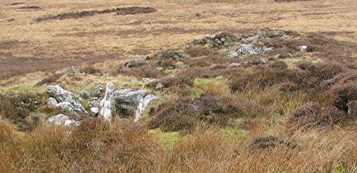
Fall Hill — Fieldnotes28.02.04cePark at the junction of the two minor roads just S of the site. Walk N to a small quarry on the E of the road. Head E and (sadly) follow the vehicle tracks which run through the centre of the site. A low stony bank 2.1 to 2.4m wide surrounds an area 16m diameter enclosing an eccentrically placed stony mound of 4.3m diameter. On the SE arc of the bank are visible two shallow grooves about 0.7m apart. They may have supported timber uprights and, although no longer visible, could have continued around the entire bank. Fall Hill — Images28.02.04ce
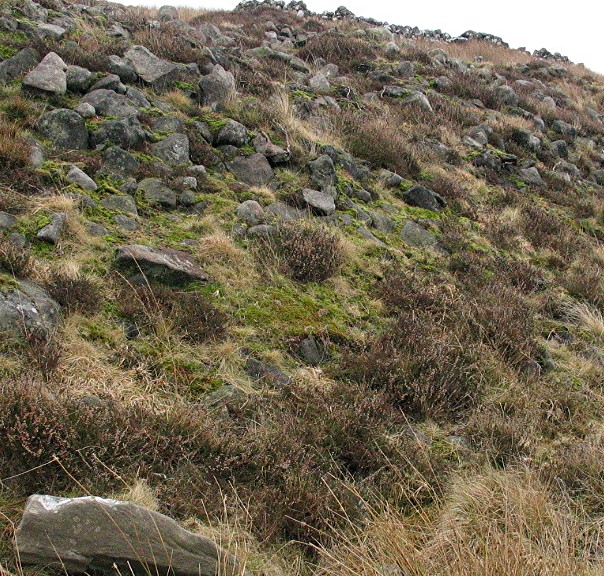
Normangill Rigg — Fieldnotes28.02.04ceAn Unenclosed Platform Settlement (UPS) is formed by taking a semi-circular scoop out of a hillside and using the materials to build a circular level platform on the downslope side. A timber house is then built on the platform. Walk SE from Fall Hill. A good UPS can be seen after 35m. Continue round the S side of Normangill Rigg to the small plantation where another good UPS can be seen on the E side near the gate. This and others in the vicinity correspond with the grid reference given for this entry. Continue walking E parallel to the road where further UPSs can be seen near the sheepfold at NS 971211. Normangill Rigg — Images28.02.04ce
Greens Moor — Fieldnotes28.02.04cePark at Redford Bridge on the A70, walk along the north bank of the river then follow the line of the forest east. The long cairn is close to the SE corner of the forest. The cairn is 82m N/S and 13m at its widest end (N). Robbing has reduced it to a maximum of 1m high. There are two round cairns to the S and groups of small cairns to the S and W. Greens Moor — Images28.02.04ce
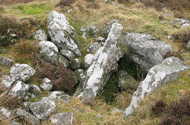
Burngrange — Fieldnotes28.02.04ceThis chambered cairn is situated on Horse Law across the Westruther Burn and is visible from Greens Moor long cairn. From Greens Moor, head E. There are several crossings over the Westruther Burn. The more adventurous may want to try the telegraph pole crossing situated on the line between the two sites. Alternatively, detour a little by following the wall S until it ends. There you will find a more substantial crossing. The cairn is possibly a Clyde cairn. Identification is difficult due to its having been heavily robbed to build the sheepfold which sits at its E end where you might have hoped to find a façade and evidence of an axial chamber. The remains of one S-facing lateral chamber can be seen just W of the sheepfold and there may be another one opposite it. The surviving cairn is 30m long. Burngrange — Images28.02.04ce
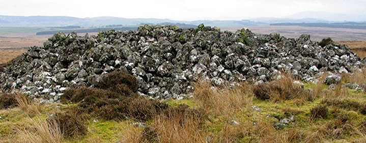
Westruther Burn — Fieldnotes28.02.04ceFrom Greens Moor, follow the forest edge N for 0.5 km. Once again, the monument has been mutilated for the purposes of ovine accommodation but, from the right angle, you can still see that it must have been an impressive cairn. One estimate puts its original dimensions at 18m diameter and 2.5m height. Westruther Burn — Images28.02.04ce
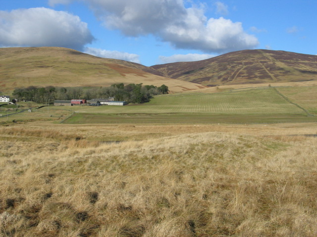
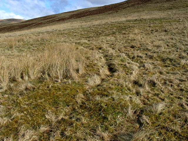
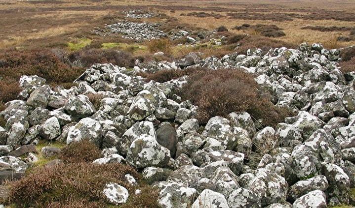
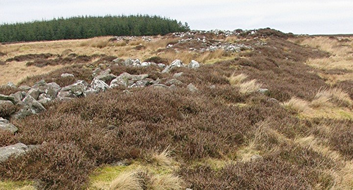
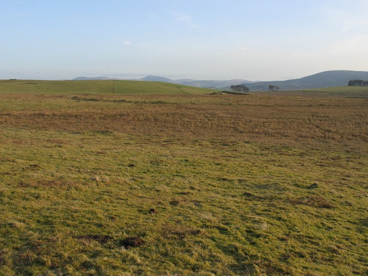
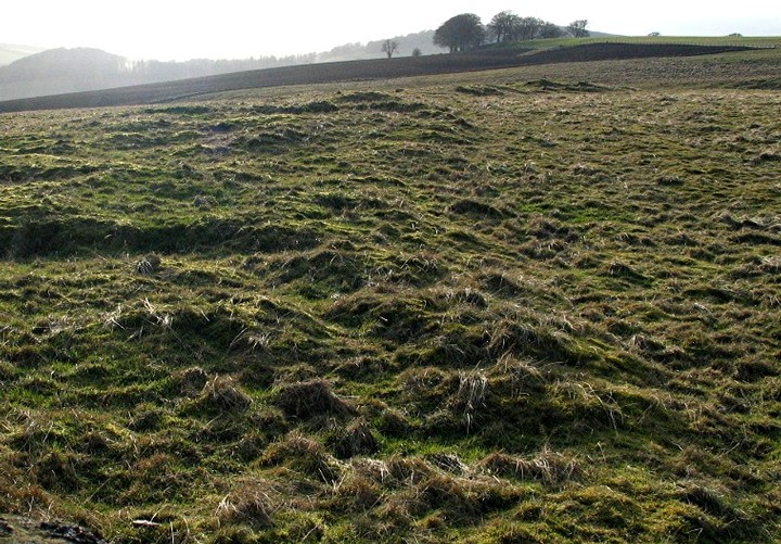
Blackshouse Burn — Fieldnotes28.02.04ceA roughly circular area of 6.5 ha (16 acres) is enclosed by a bank about 11m wide and up to 1.2m high. There is no evidence of a ditch or any entrances. Its area takes in the head of the Blackshouse Burn. The 1794 Statistical Account reported the finding of some urns containing, probably, cremated bone set in cist-like structures set under the ruins of the bank. In 1985, a survey of the area revealed that the interior contained 19 mounds and small cairns and was "traversed by a network of trackways and drains of various dates" [Canmore]. A limited excavation of the bank carried out at the same time revealed a sequence of events including the construction of large, upright timber posts on the bank's inner and outer edge the decayed stumps of which produced a late Neolithic radio carbon date. In 1999, a geophysical survey of western part of the enclosure produced "anomalies which may represent burning events or waterlogged posts used in the bank construction" [Canmore]. To get access, I decided to take advantage of the quarry's proximity. Parking was allowed at their weighbridge from which it was just a short walk across a couple of fields to the site. Blackshouse Burn — Images28.02.04ce
|
 Posted by greywether
28th February 2004ce Edited 28th February 2004ce
greywether's TMA Blog
Latest TMA Blog Posts
|
Comments (0) |
|
| You must be logged in to add a comment | |