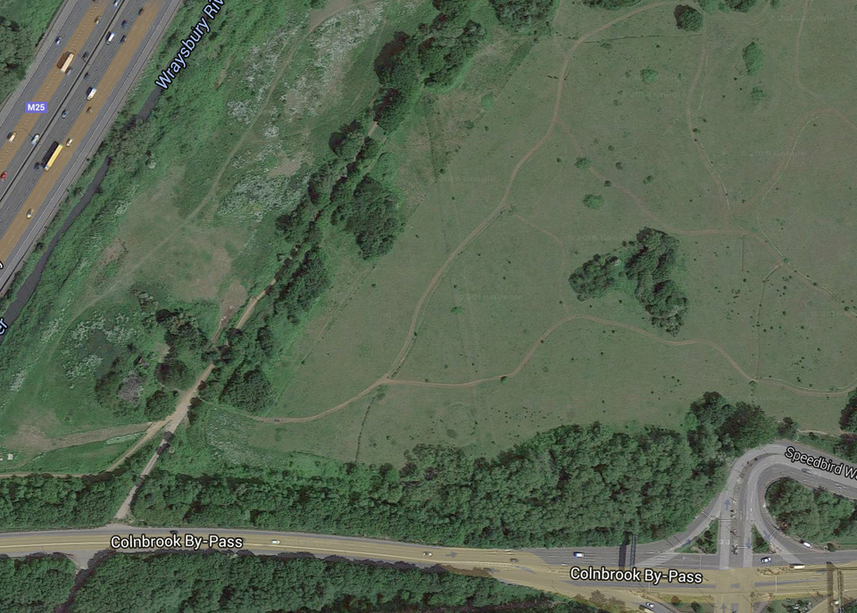
 This is the only remaining section of the cursus that once stretched from the village of Stanwell to the M4-M25 junction. It is the straight line from south-southeast to north-northwest. Round barrows can also be seen next to the southern end of this section (51°29'03.6"N 0°29'41.4"W). The more I look at this satellite photo, the more I start to wonder if other bumps are equally ancient, like oval shapes centered on 51°29'08.2"N 0°29'39.9"W and 51°29'09.9"N 0°29'33.5"W, or two circular shapes at 51°29'09.7"N 0°29'28.7"W.
|
|
 Image Credit: Google Maps
Posted by UncleRob
26th February 2016ce
|
NB: Unless otherwise stated, this image is protected under the copyright of the original poster and may not be re-used without permission.
|
|


