|
|

|
|
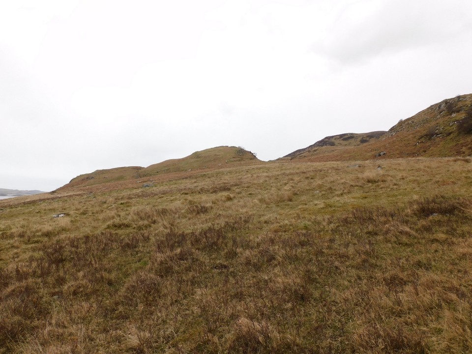
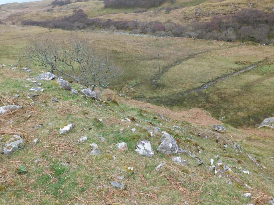
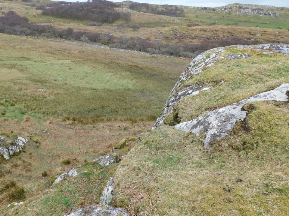
Dun A' Chaisteil (Stone Fort / Dun) — Images (click to view fullsize) |
|
18th April 2024ce |
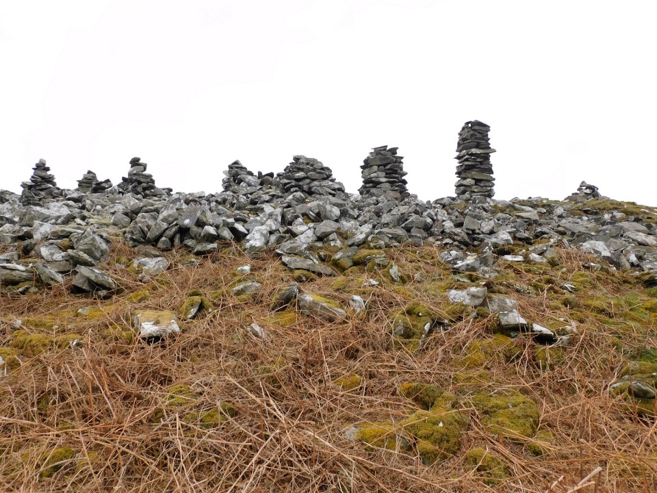
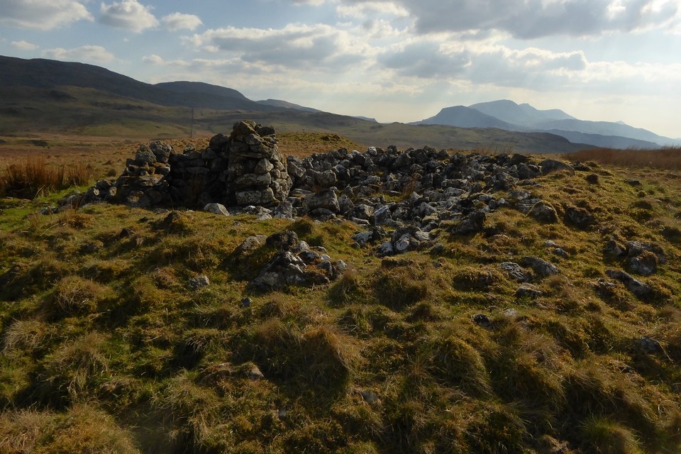
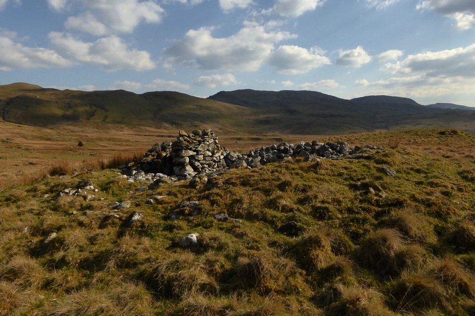
Nant Helygog (Cairn(s)) — Images |
|
 Posted by thesweetcheat
17th April 2024ce |
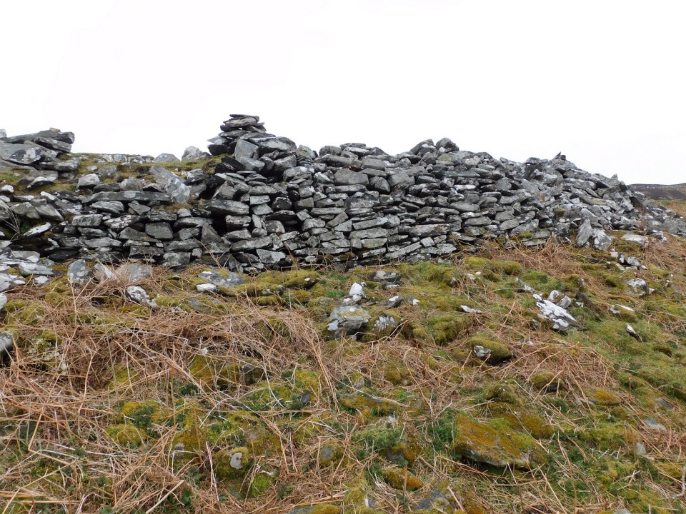
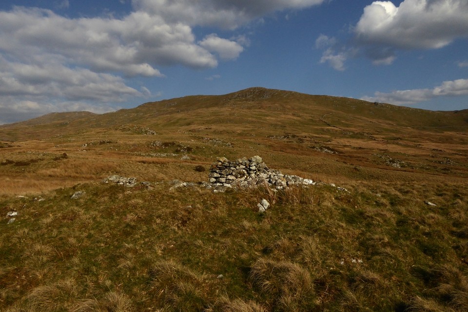
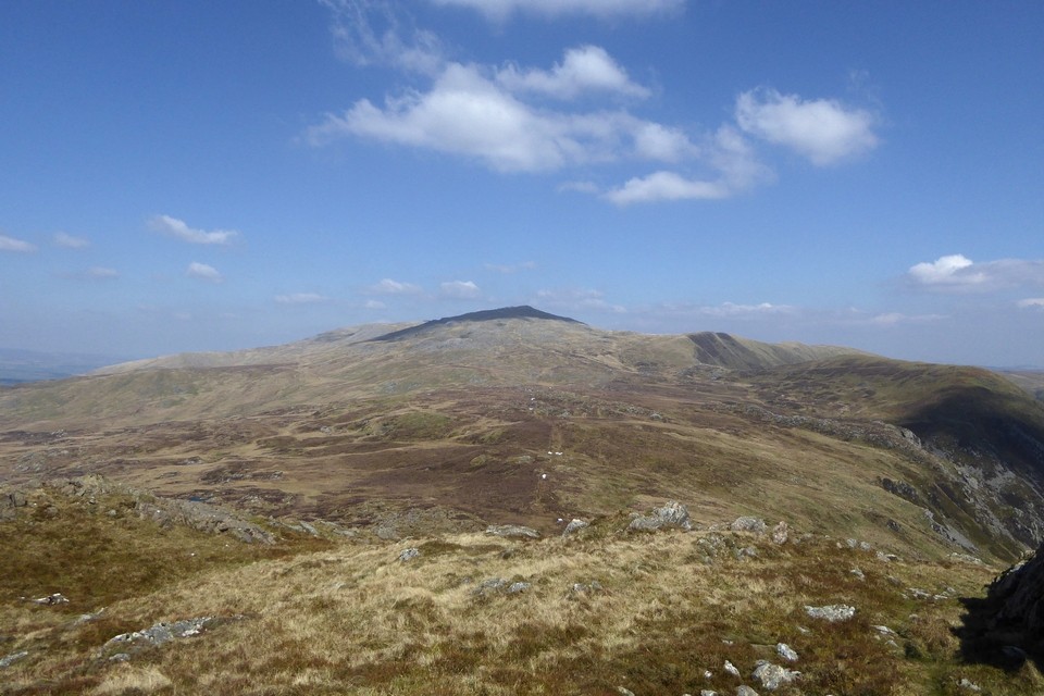
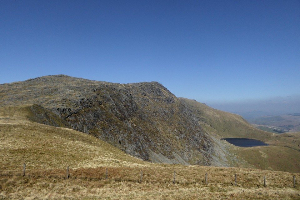
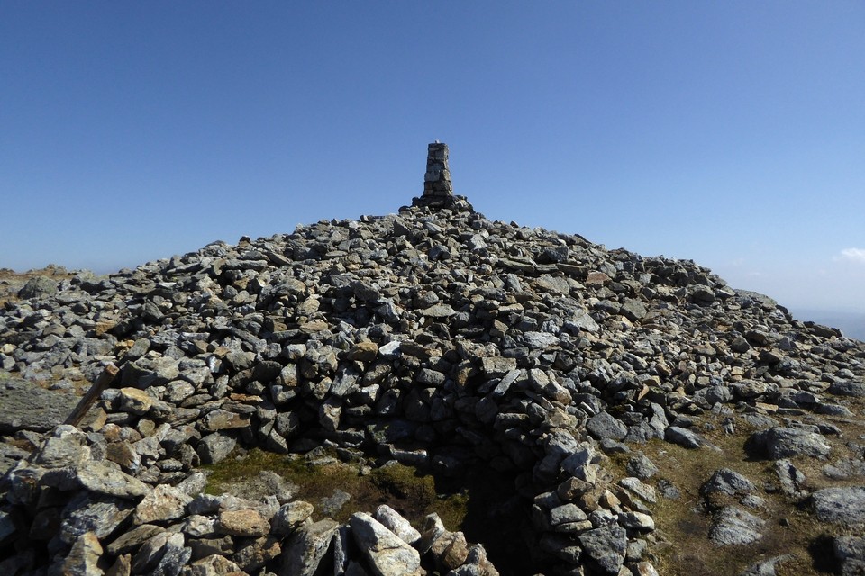
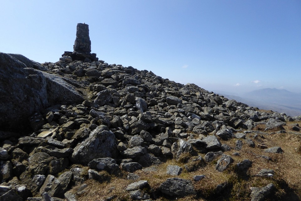
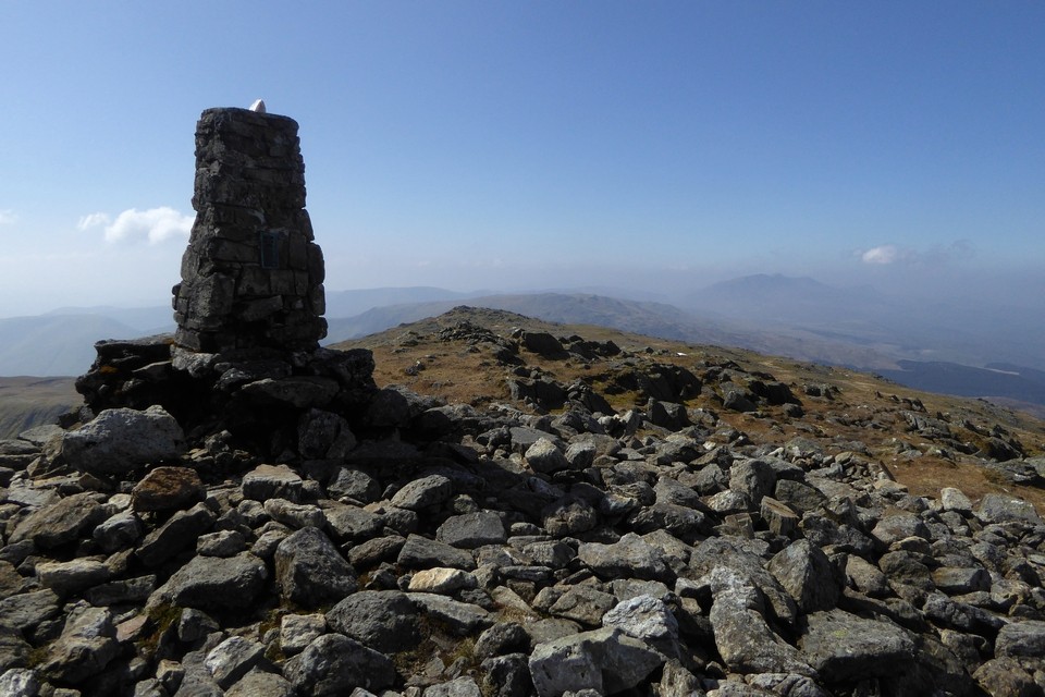
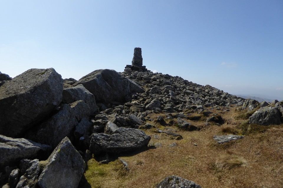
Aran Fawddwy (Round Cairn) — Images |
|
Posted by thesweetcheat 17th April 2024ce |
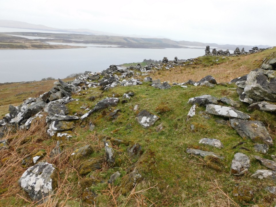
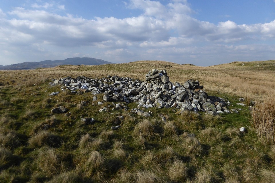
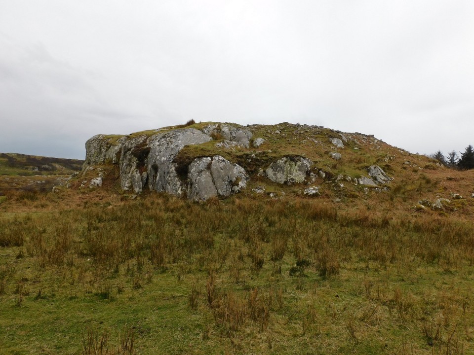
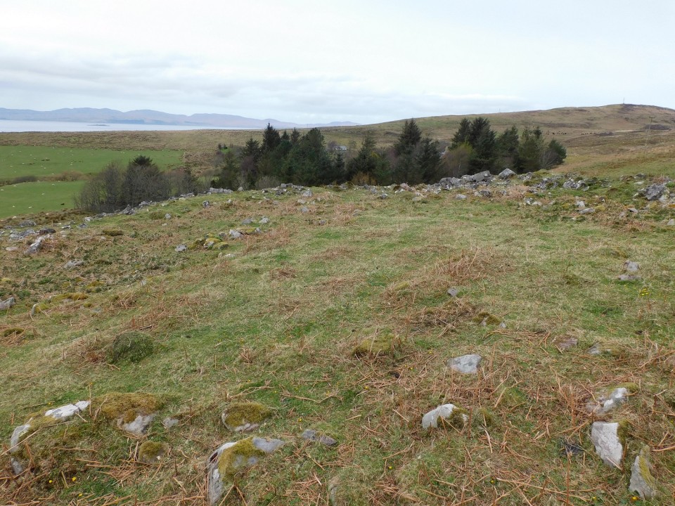
Cat Cairn 2 (Kerbed Cairn) — Images |
|
 Posted by LesHamilton
17th April 2024ce |
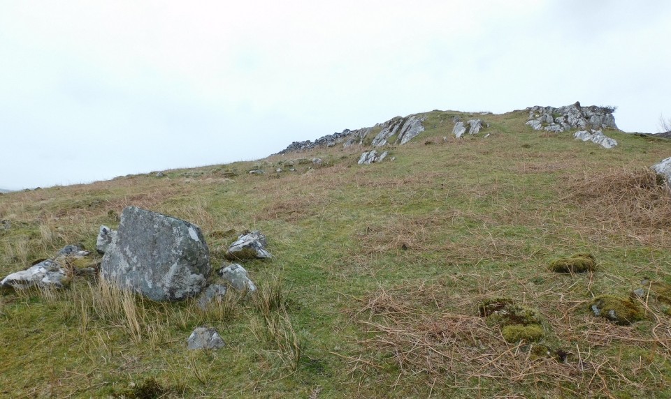
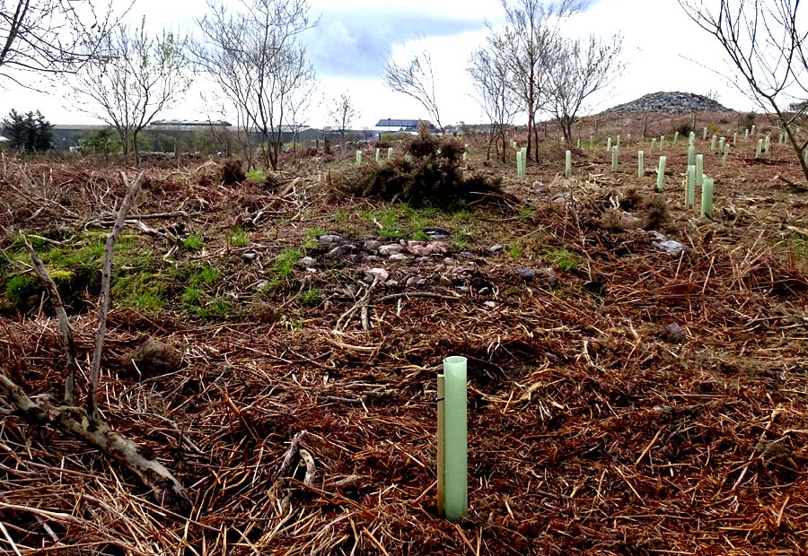
Cat Cairn 2 (Kerbed Cairn) — Fieldnotes |
|
Visited April 17, 2024 This was my first visit to Tullos Hill for some months and it was pleasing to discover that the thick and uncontrolled gorse that used to surround Cat Cairn 2 has all been removed. An expansive area of at least an acre surrounding the monument is now planted with a vast number of saplings, which should create a pleasant woodland scene in time. The kerb of the cairn is now clear to view from every direction, and the cairn itself can be seen to have a hollow centre (ring cairn?). |
Posted by LesHamilton 17th April 2024ce |
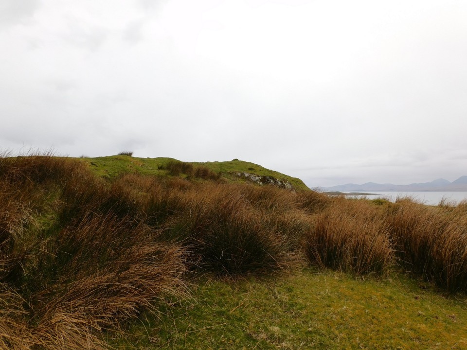
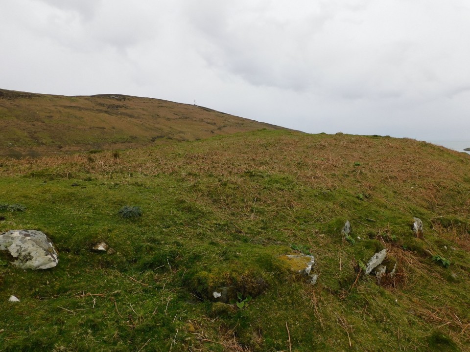
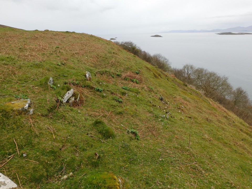
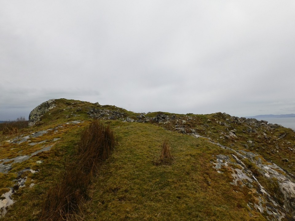
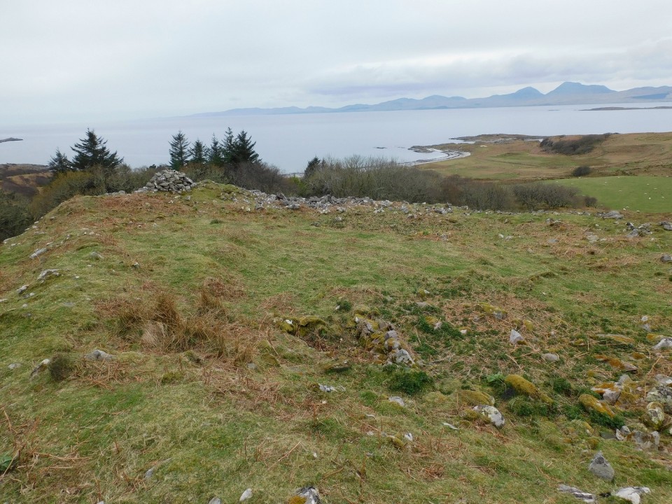
Dun Na Doide (Hillfort) — Images |
|
17th April 2024ce |
Creag Nan Uamh (Cave / Rock Shelter) — News |
Inside Scotland's ancient Bone CavesHigh on a limestone cliff in the north west Highlands are caves that have fascinated visitors to the area for at least 135 years. More info : https://www.bbc.co.uk/news/articles/cqvng3z9pqqo |
17th April 2024ce |
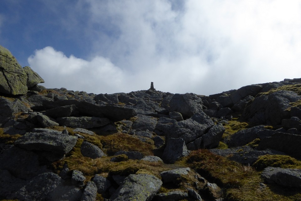
Aran Fawddwy (Round Cairn) — Images |
|
Posted by thesweetcheat 16th April 2024ce |
Stonehenge (Circle henge) — News |
Stonehenge research explores possible Moon connectionResearchers are investigating whether Stonehenge aligns with the positions of the Moon, as well as the Sun. More info : https://www.bbc.co.uk/news/articles/c80zexkvenko |
16th April 2024ce |
Arthur's Stone (Dolmen / Quoit / Cromlech) — News |
Arthur's Stone featured on one of four new murals in Herefordhttps://www.herefordtimes.com/news/24163793.herefords-new-murals-take-shape/ |
 Posted by MelMel
16th April 2024ce |
Arthur's Stone (Dolmen / Quoit / Cromlech) — Images |

|
Posted by MelMel 16th April 2024ce |
Nant Helygog (Cairn(s)) — Miscellaneous |
Coflein descriptions:Western cairn (SH8010718561) |
Posted by thesweetcheat 15th April 2024ce |
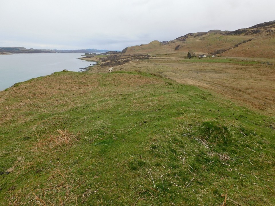
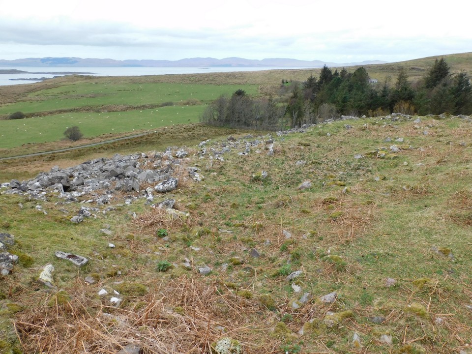
Dun A' Bhuilg (Hillfort) — Images |
        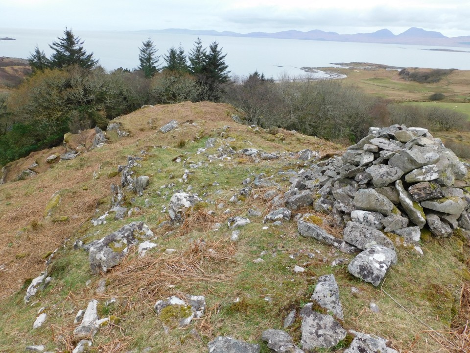
|
15th April 2024ce |
Scotland (Country) — News |
Modernising the hunt for Scotland's buried treasureApps and new technology could modernise the search for buried treasure in Scotland, experts say. More info : https://www.bbc.co.uk/news/articles/c72pn70p595o |
15th April 2024ce |
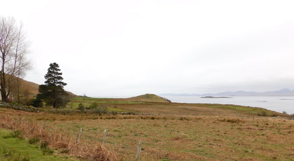
Dun A' Bhuilg (Hillfort) — Images |
|
15th April 2024ce |