|
|

|
The Netherlands: Latest Posts |
Anloo (NM45018 Evertsbos) (Round Barrow(s)) — Images (click to view fullsize) |
|
 Posted by LesHamilton
5th May 2019ce |
Anloo (NM45018 Evertsbos) (Round Barrow(s)) — Fieldnotes |
|
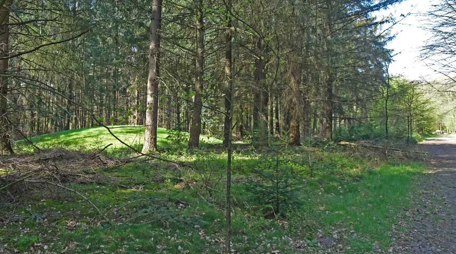
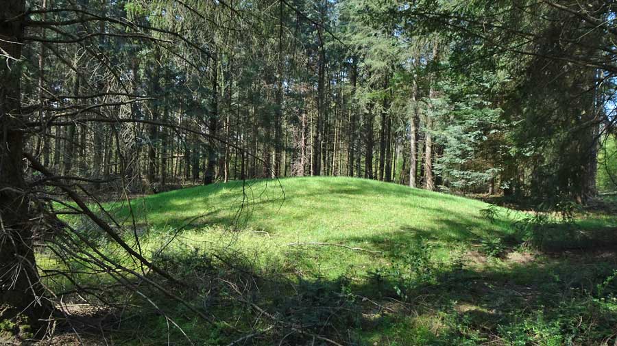
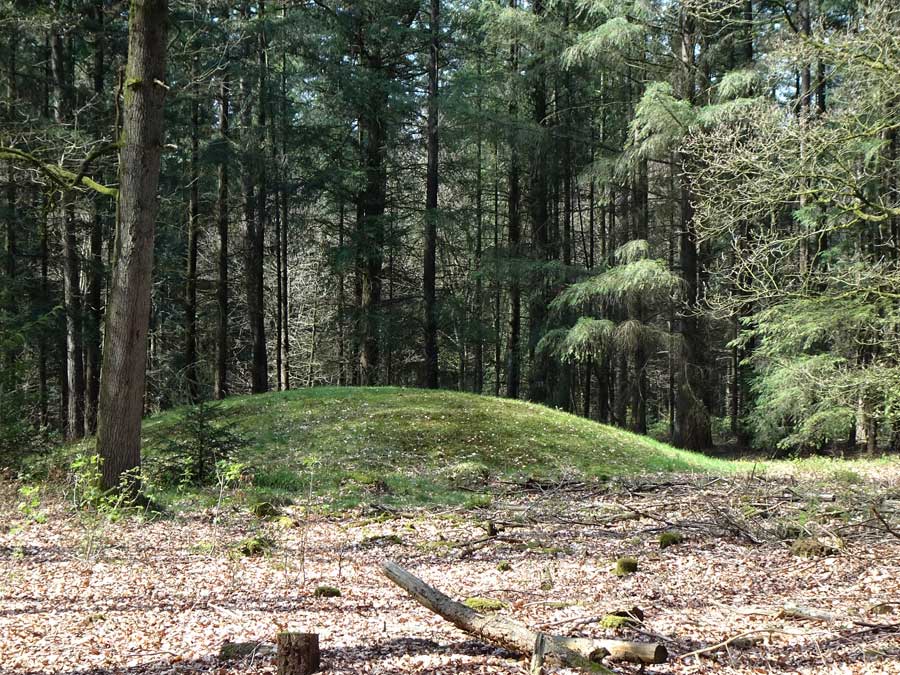
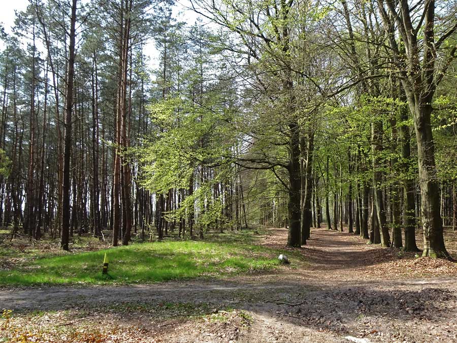
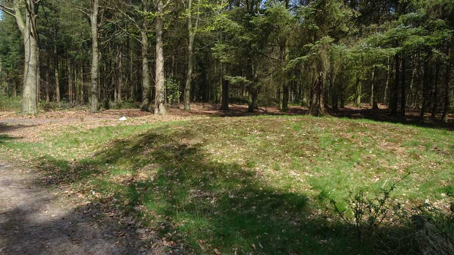
Visited: April 18, 2019 National Monument 45018 in the Evertsbos This area of the Evertsbos woodland contains a group of grave mounds, described in the official monument list for the Anloo district as "seven or eight mounds". There seems some doubt as to the actual number, but as I walked the paths, I encountered the six grave mounds indicated on the map below. They all sit close to paths between 100 and 300 metres south and east of Hunebed D11: you don't have to go searching for them as they are easily spotted from the paths. All six grave mounds can be visited, along with Hunebed D11 in a circular walk from either Anloo in the north or Eext in the south. A leisurelly hour and a half should suffice. Mounds 1, 2 and 3 are the most impressive, all rising to around two metres. The other three barely reach a metre in height. The non-intuitive numbering of the mounds is the assignment given by Museum 'Oer', located in Ulft, Netherlands. This link displays two further maps showing the locations of the mounds, plus a photograph each of mounds 1-7. |
Posted by LesHamilton 5th May 2019ce |
Anloo (NM45018 Evertsbos) (Round Barrow(s)) — Images |

|
Posted by LesHamilton 5th May 2019ce |
Galgwanderveen (NM 45020 Anloo) (Round Cairn) — Fieldnotes |
|
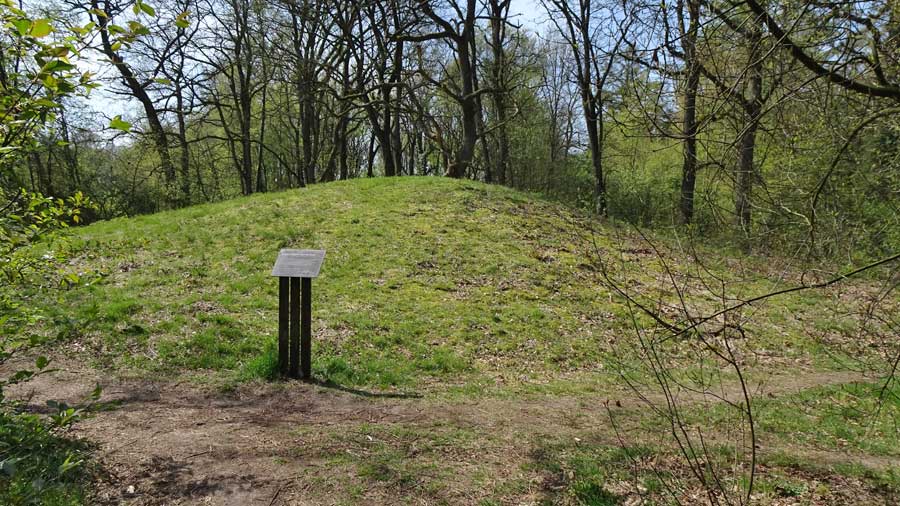
Visited: April 18, 2019 Galgwanderveen, also known as Braamsplas, is a small kettle-hole lake dating from the last Ice Age. Renowned locally as a fishing lake for carp, it is located 2.5 kilometres south of Anloo and 1.5 kilometres north of Eext. In the woodland surrounding this lake are five Late Stone Age grave mounds, of which this splendid example (marker 'G'), located just a few metres from the water's edge is by far the most impressive, rising to almost four metres in height. The best approach by car is from the village of Eext (at bottom right of the map above), as there is a convenient car park just 200 metres southwest of the mound. Note There are grave mounds in several different locations in this area of woodland (the Evertsbos), each identifiable by virtue of its National Monument number. |
Posted by LesHamilton 4th May 2019ce |
Galgwanderveen (NM 45020 Anloo) (Round Cairn) — Images |
|
Posted by LesHamilton 4th May 2019ce |