Showing 1-10 of 842 posts. Most recent first | Next 10 
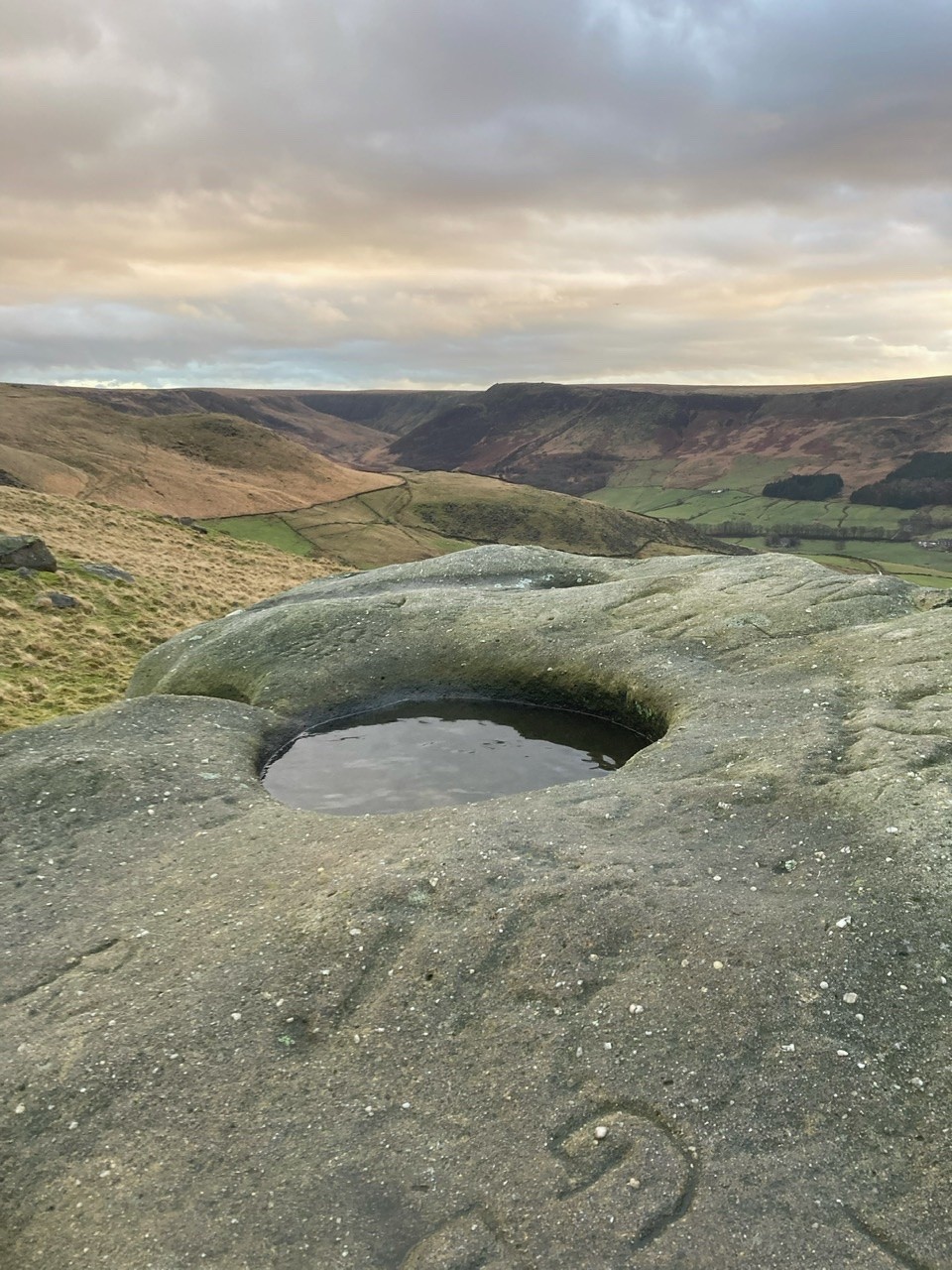
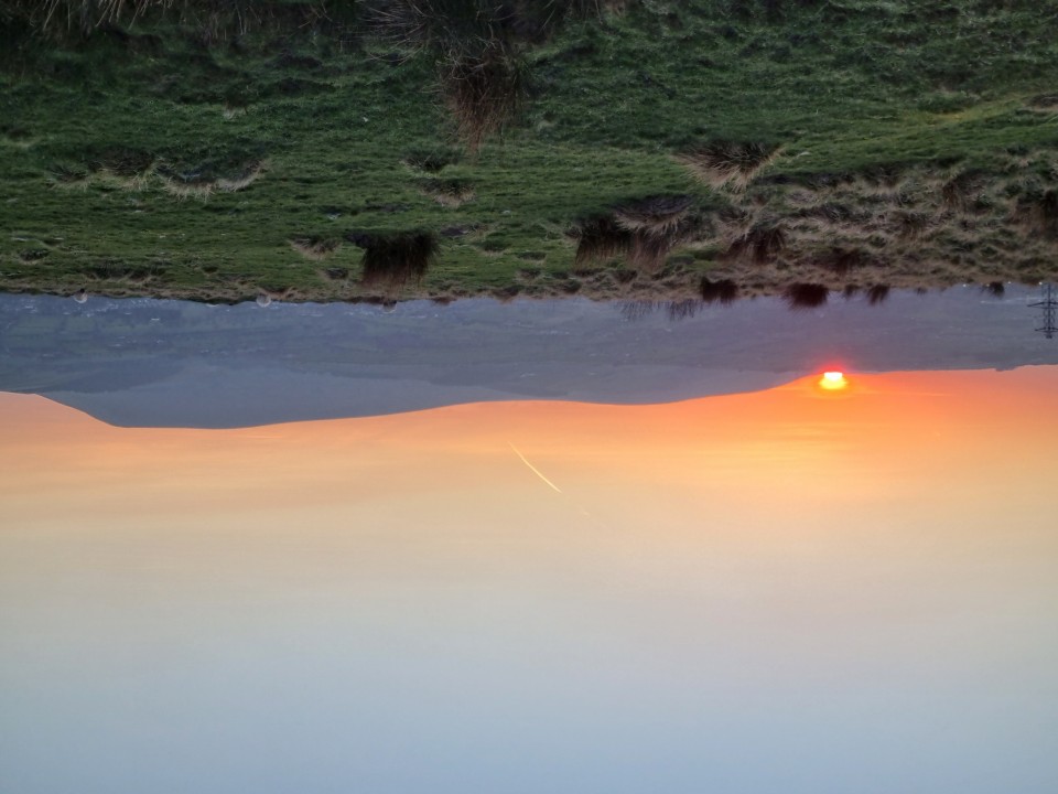
[visited 19/5/23] The hard slog but on a cloudless day with only skylarks and peewits for company, 101% worth it. That old top to bottom feeling of peace as I sunk down to eat my sandwiches.
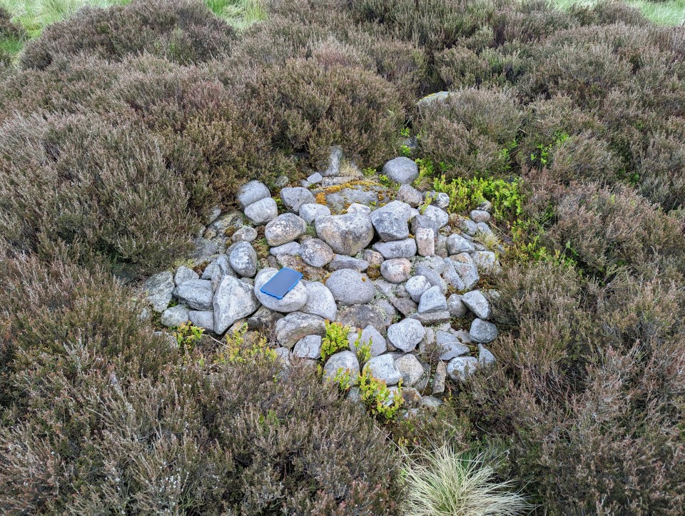
One of several small cairns poking out about the edges of the peat up here, ever more suggestive of a large cairn field under the blanked bog on the flat bits all the way to the top of hurst hill. This is a small site buried in the archaeological survey and well worth the effort if you like small mounds of stones. There is just a hint of a kerb, a few earthfast stones coquettish peaking up on the edges.
Access is difficult across peat bog from any direction. I came from the great hill to hordern stoops footpath and its quite boggy. I left via Round loaf and across moor to lead mines clough. Quite boggy that way too!
|
 Posted by juamei
31st May 2023ce
|

|
Posted by juamei
30th May 2023ce
|
Site 16 in the Anglezarke and Rivington Moors - Archaeological Survey 1986.
"This is a relatively well defined cairn in an area of peat erosion. It comprises small to medium field stones, some of which are earthfast. There is a possible kerb. It is in the vicinity of the PRN 4064 flake working area. Size: length 1.7m width 1.7m height 0"
|
Posted by juamei
30th May 2023ce
|
 
|
 Posted by spencer
26th December 2022ce
|

|
Posted by juamei
8th July 2022ce
|
[visited 7/7/22] Two hours to kill whilst waiting for guides to finish falling into a lake so I fired up the trusty map and spotted this nearby. I'm trying to see a few of these iron age sites nearby to validate a possible site I found on a local golf course, so this looked a good bet.
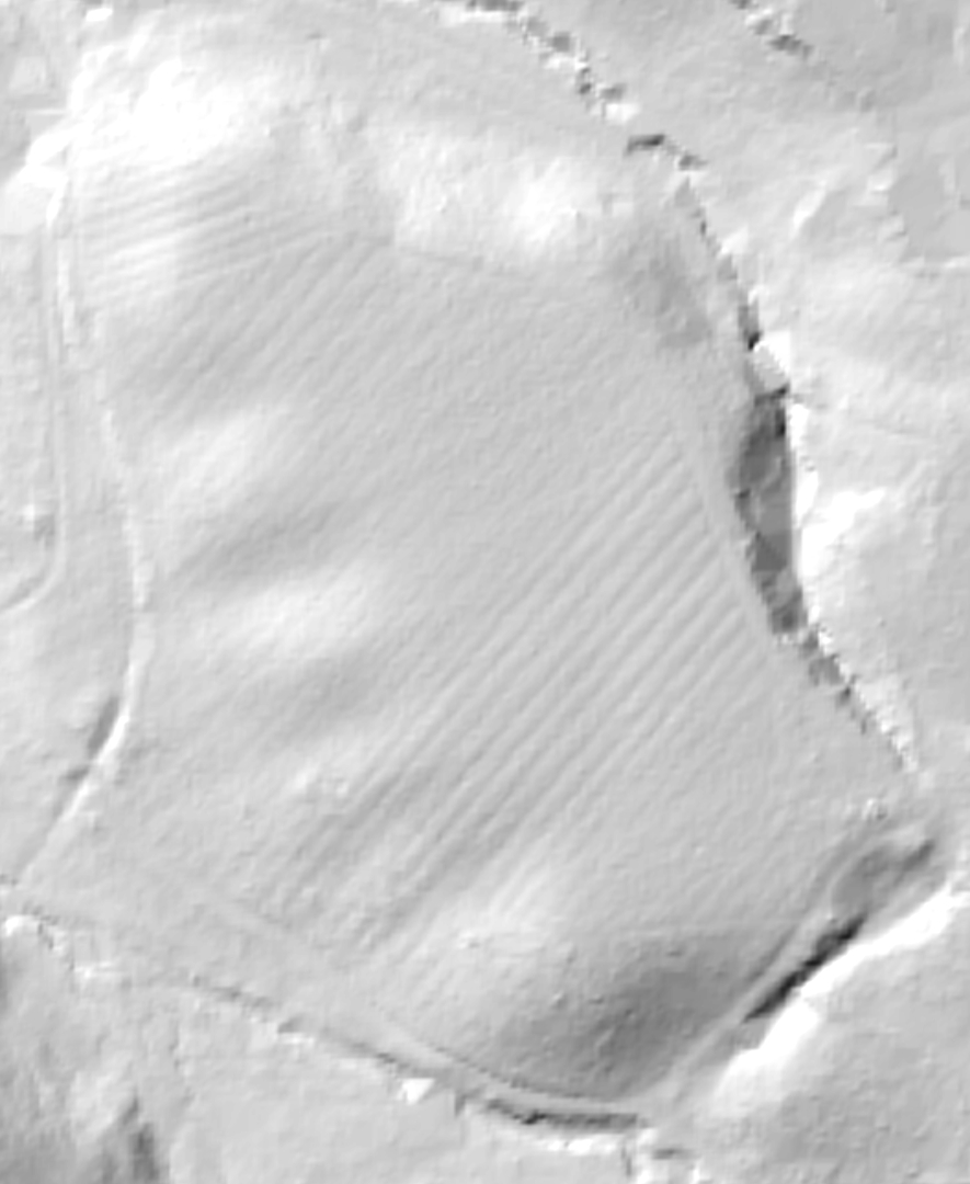
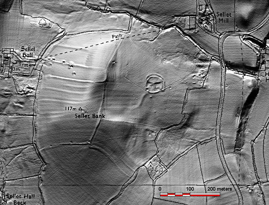
I headed up from the south through the lovely old wood and eventually found the site. I have to say I'm not convinced on the ground and checking the lidar, I'm even less convinced. The ditches around the edges seem natural with some possible modification, but I'd expect a bank along the top, even slight, which seemed to be completely absent.
There is obvious ridge and furrow across the top which you can see close up on the footpath and is picked out beautifully on the lidar, if I had to guess I'd presume the ditches at the foot of the slope were drainage for the mediaeval fields.
On the way back I got deliberately "lost" in the woods, completely empty at 8pm. Bliss.
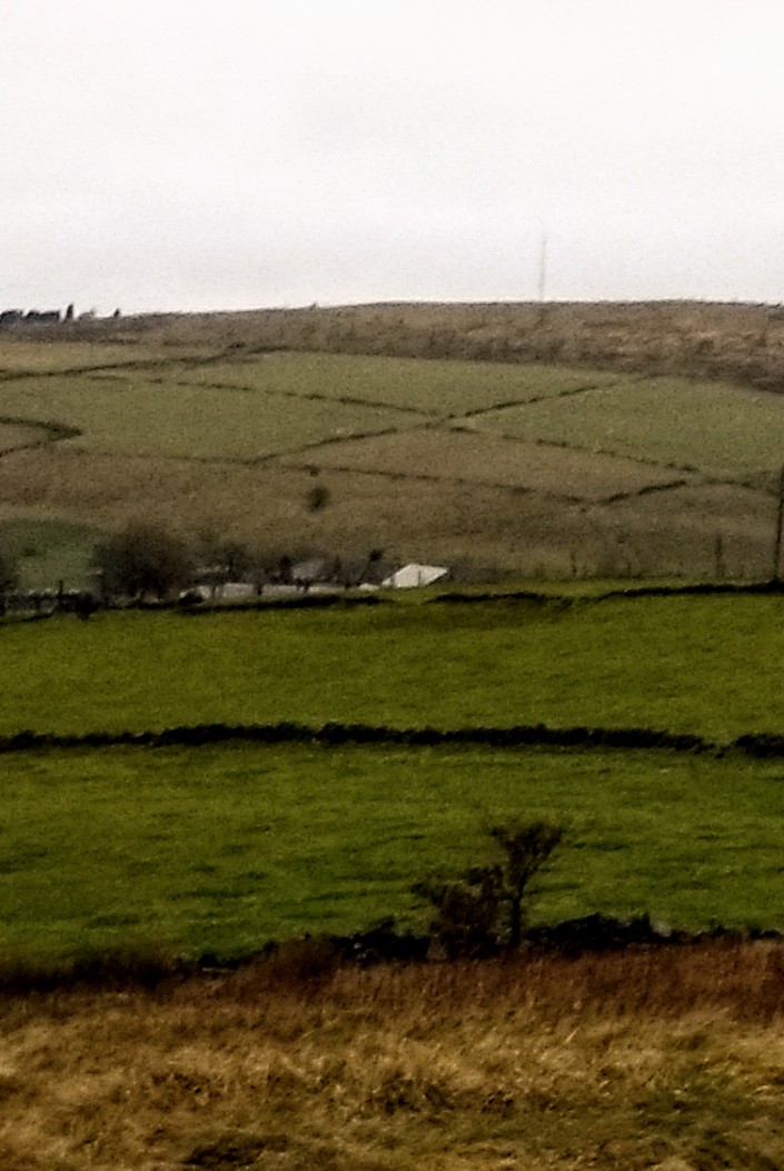
Access pretty good from the south with only moderate rough ground and well maintained access roads and paths. Steep long grass at the site.
|
Posted by juamei
8th July 2022ce
|

|
Posted by nakers
23rd March 2022ce
|

|
Posted by spencer
13th December 2020ce |
Showing 1-10 of 842 posts. Most recent first | Next 10
|