|
|

|
16 messages | Select a forum: |

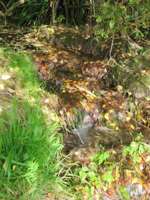
| FAO Eds, not sure how to contact you to find out if a site is appropriate to add or not. Reference: Mother Anthony's well (ST999642) Latitude: 51.37685N Longitude: 2.002824W Nearest town: Devizes Nearest ancient monument: Oliver's Castle and tumuli In the fields at the foot of Oliver's Castle, there is a small wild wood, with tangled undergrowth from which emerges a lively stream (carrying a surprising amount of water) at its western edge. This wood is marked on the OS map as Mother Anthony's Well. Access to the interior was difficult, but once inside the wood,there are springs in abundance. We had given up on finding the well in the wood and were walking around its perimeter to retrace our steps back up to Oliver's Castle when we heard the clear sound of running water - and there it was, forming a small pool before falling into a fast flowing stream. It is reputed to be the site of a Romano-British shrine, but archaeological finds there put its use back well into prehistoric times: flint tools from the Mesolithic and Neolithic; a Neolithic axehead and pottery fragments; Bronze age pottery and flint tools; and various objects from the Iron age, including a brooch, a ring and a whetstone. ref: (Wiltshire and Swindon History Centre Sites and Monuments Record) A good description of how to find it, plus picture are at http://www.geograph.org.uk/photo/1338935 And a close up here - Mother Anthony's Well Many thanks to Ravensroost for accompanying me; the map reading skills; and for providing additional background information. |  3rd November 2010ce 20:00 5 replies: |
Messages in this topic: |
|